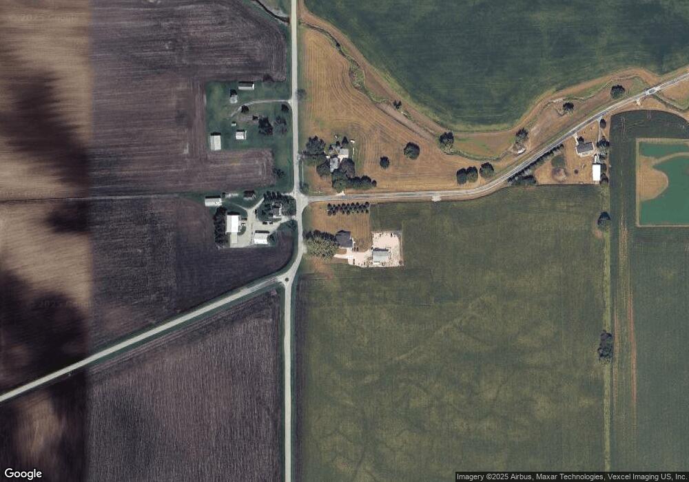
7990 Chicago Rd Minooka, IL 60447
North Minooka NeighborhoodEstimated Value: $344,000 - $608,656
4
Beds
3
Baths
2,036
Sq Ft
$242/Sq Ft
Est. Value
About This Home
This home is located at 7990 Chicago Rd, Minooka, IL 60447 and is currently estimated at $493,664, approximately $242 per square foot. 7990 Chicago Rd is a home located in Kendall County with nearby schools including Circle Center Grade School, Yorkville Intermediate School, and Yorkville Middle School.
Ownership History
Date
Name
Owned For
Owner Type
Purchase Details
Closed on
Jan 18, 2007
Sold by
Manning John D and Manning Nichole
Bought by
Manning John D and Manning Nichole
Current Estimated Value
Home Financials for this Owner
Home Financials are based on the most recent Mortgage that was taken out on this home.
Original Mortgage
$321,600
Interest Rate
6.27%
Mortgage Type
New Conventional
Create a Home Valuation Report for This Property
The Home Valuation Report is an in-depth analysis detailing your home's value as well as a comparison with similar homes in the area
Home Values in the Area
Average Home Value in this Area
Purchase History
| Date | Buyer | Sale Price | Title Company |
|---|---|---|---|
| Manning John D | -- | Law Title Oak Brook |
Source: Public Records
Mortgage History
| Date | Status | Borrower | Loan Amount |
|---|---|---|---|
| Closed | Manning John D | $321,600 |
Source: Public Records
Tax History Compared to Growth
Tax History
| Year | Tax Paid | Tax Assessment Tax Assessment Total Assessment is a certain percentage of the fair market value that is determined by local assessors to be the total taxable value of land and additions on the property. | Land | Improvement |
|---|---|---|---|---|
| 2024 | $9,371 | $133,604 | $34,675 | $98,929 |
| 2023 | $9,021 | $121,853 | $33,024 | $88,829 |
| 2022 | $9,021 | $112,495 | $28,627 | $83,868 |
| 2021 | $8,845 | $107,901 | $29,063 | $78,838 |
| 2020 | $8,041 | $101,498 | $27,338 | $74,160 |
| 2019 | $7,759 | $97,109 | $26,156 | $70,953 |
| 2018 | $7,507 | $93,493 | $26,156 | $67,337 |
| 2017 | $7,415 | $89,383 | $26,156 | $63,227 |
| 2016 | $6,912 | $76,608 | $25,833 | $50,775 |
| 2015 | $6,774 | $72,704 | $25,833 | $46,871 |
| 2014 | -- | $70,000 | $27,835 | $42,165 |
| 2013 | -- | $70,000 | $27,835 | $42,165 |
Source: Public Records
Map
Nearby Homes
- 15771 Brisbin Rd
- 15781 Brisbin Rd
- 1133 Coneflower Ct
- 12200 Newark Rd
- 14900 County Line Rd
- 8737 Buck Ct
- 0000 W Helmar and Lisbon Rd
- 0 Sherrill-Townhouse Rd Unit MRD11958009
- 8513 Sawyer Ct
- 8508 Sawyer Ct
- 2551 Fairfax Way
- 2050 Isabella Ln
- 194 acres W Holt Rd
- 2041 Isabella Ln
- Lot 1 Minooka Ridge & Jones Rd
- 2033 Isabella
- 901 Sable Ridge Dr
- 8413 Eva Ave
- 11382 Brighton Oaks Dr
- 2469 Fairfield Ave
- 0 Ashley Rd Unit 9795878
- 0 Ashley Rd Unit 9615257
- 0 Ashley Rd Unit 10541813
- 7770 Chicago Rd
- 13499 Ashley Rd
- 7770 Chicago Rd
- 7616 Chicago Rd
- 7580 Chicago Rd
- 13750 Ashley Rd
- 13090 Ashley Rd
- 000 Ashley Rd
- 7950 Plattville Rd
- 14024 Ashley Rd
- 14021 Ashley Rd
- 7701 Plattville Rd
- 8437 Chicago Rd
- 14085 Ashley Rd
- 8450 Chicago Rd
- 7775 Plattville Rd
- 7704 Plattville Rd
