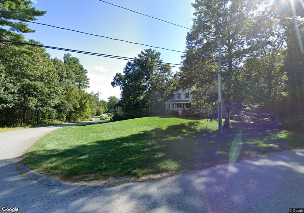
8 Brett Cir Pelham, NH 03076
Estimated Value: $595,925 - $698,000
3
Beds
2
Baths
1,632
Sq Ft
$395/Sq Ft
Est. Value
About This Home
This home is located at 8 Brett Cir, Pelham, NH 03076 and is currently estimated at $644,481, approximately $394 per square foot. 8 Brett Cir is a home with nearby schools including Pelham Elementary School, Pelham Memorial School, and Pelham High School.
Ownership History
Date
Name
Owned For
Owner Type
Purchase Details
Closed on
Dec 31, 1996
Sold by
Dmg Land Holdings Llc
Bought by
Campbell Timothy S and Campbell Cynthia M
Current Estimated Value
Home Financials for this Owner
Home Financials are based on the most recent Mortgage that was taken out on this home.
Original Mortgage
$94,000
Interest Rate
7.55%
Create a Home Valuation Report for This Property
The Home Valuation Report is an in-depth analysis detailing your home's value as well as a comparison with similar homes in the area
Home Values in the Area
Average Home Value in this Area
Purchase History
| Date | Buyer | Sale Price | Title Company |
|---|---|---|---|
| Campbell Timothy S | $148,600 | -- |
Source: Public Records
Mortgage History
| Date | Status | Borrower | Loan Amount |
|---|---|---|---|
| Open | Campbell Timothy S | $100,000 | |
| Closed | Campbell Timothy S | $94,000 |
Source: Public Records
Tax History Compared to Growth
Tax History
| Year | Tax Paid | Tax Assessment Tax Assessment Total Assessment is a certain percentage of the fair market value that is determined by local assessors to be the total taxable value of land and additions on the property. | Land | Improvement |
|---|---|---|---|---|
| 2024 | $8,121 | $442,800 | $157,700 | $285,100 |
| 2023 | $8,055 | $442,800 | $157,700 | $285,100 |
| 2022 | $7,569 | $434,500 | $157,700 | $276,800 |
| 2021 | $6,935 | $434,500 | $157,700 | $276,800 |
| 2020 | $6,357 | $314,700 | $126,300 | $188,400 |
| 2019 | $6,105 | $314,700 | $126,300 | $188,400 |
| 2018 | $6,208 | $289,300 | $126,300 | $163,000 |
| 2017 | $6,145 | $286,500 | $126,300 | $160,200 |
| 2016 | $6,002 | $286,500 | $126,300 | $160,200 |
| 2015 | $5,924 | $254,700 | $120,200 | $134,500 |
| 2014 | $5,825 | $254,700 | $120,200 | $134,500 |
| 2013 | $5,825 | $254,700 | $120,200 | $134,500 |
Source: Public Records
Map
Nearby Homes
- 280 & 290 Spring Rd
- 2 S Shore Dr
- 41A Ledge Rd
- 27 Wellesley Dr
- 351 Peters Pond Dr
- 34 Frontier Dr
- 128 West St
- Lot 4 Canterbury Rd Unit 4
- 50 & 51 Jane St
- 5 Bailey Rd
- 3 Kennedy Dr
- 96 Harris St
- 73 Myrtle St
- 71 Deer Hill Cir
- 0 Carmel Rd Unit 6
- 7 Dadak Dr
- 6 Dadak Dr
- 100 Salem Rd
- 26 Plower Rd Unit 6
- 11 Surrey Ln