Estimated Value: $1,782,000 - $2,826,000
4
Beds
5
Baths
6,056
Sq Ft
$355/Sq Ft
Est. Value
About This Home
This home is located at 8 Buttercup Ln, Dover, MA 02030 and is currently estimated at $2,152,001, approximately $355 per square foot. 8 Buttercup Ln is a home located in Norfolk County with nearby schools including Chickering Elementary School, Dover-Sherborn Regional Middle School, and Dover-Sherborn Regional High School.
Ownership History
Date
Name
Owned For
Owner Type
Purchase Details
Closed on
Jul 9, 2001
Sold by
Reines H David
Bought by
Dipetrillo Thomas A
Current Estimated Value
Home Financials for this Owner
Home Financials are based on the most recent Mortgage that was taken out on this home.
Original Mortgage
$750,000
Interest Rate
7.21%
Mortgage Type
Purchase Money Mortgage
Purchase Details
Closed on
Oct 1, 1992
Sold by
Breziner Elizabeth H
Bought by
Reines H David and Reines Gail S
Home Financials for this Owner
Home Financials are based on the most recent Mortgage that was taken out on this home.
Original Mortgage
$450,000
Interest Rate
7.83%
Mortgage Type
Purchase Money Mortgage
Create a Home Valuation Report for This Property
The Home Valuation Report is an in-depth analysis detailing your home's value as well as a comparison with similar homes in the area
Home Values in the Area
Average Home Value in this Area
Purchase History
| Date | Buyer | Sale Price | Title Company |
|---|---|---|---|
| Dipetrillo Thomas A | $1,160,000 | -- | |
| Reines H David | $565,000 | -- |
Source: Public Records
Mortgage History
| Date | Status | Borrower | Loan Amount |
|---|---|---|---|
| Open | Reines H David | $523,750 | |
| Closed | Reines H David | $750,000 | |
| Previous Owner | Reines H David | $450,000 |
Source: Public Records
Tax History Compared to Growth
Tax History
| Year | Tax Paid | Tax Assessment Tax Assessment Total Assessment is a certain percentage of the fair market value that is determined by local assessors to be the total taxable value of land and additions on the property. | Land | Improvement |
|---|---|---|---|---|
| 2025 | $17,553 | $1,557,500 | $714,200 | $843,300 |
| 2024 | $17,774 | $1,621,700 | $714,200 | $907,500 |
| 2023 | $17,333 | $1,421,900 | $647,300 | $774,600 |
| 2022 | $16,807 | $1,353,200 | $647,300 | $705,900 |
| 2021 | $17,443 | $1,353,200 | $647,300 | $705,900 |
| 2020 | $17,375 | $1,353,200 | $647,300 | $705,900 |
| 2019 | $17,497 | $1,353,200 | $647,300 | $705,900 |
| 2018 | $15,698 | $1,222,600 | $571,100 | $651,500 |
| 2017 | $15,763 | $1,207,900 | $560,200 | $647,700 |
| 2016 | $15,733 | $1,221,500 | $560,200 | $661,300 |
| 2015 | $15,513 | $1,221,500 | $560,200 | $661,300 |
Source: Public Records
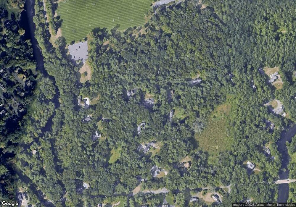
Map
Nearby Homes
- 8 Warren Rd
- 29 Water St
- 12 Winding River Cir
- 182 Winding River Rd
- 21 Eliot St
- 60 Locust Ln
- 55 Ridge Hill Farm Rd
- 91 Glen St
- 104 Glen St
- 18 Phillips Pond Rd
- 78 Pheasant Landing Rd
- 192 Pond Rd
- 39 Davis Brook Dr
- 60 Claybrook Rd
- 29 Cottage St
- 94 Woodland St
- 12 Cranberry Ln
- 365 Charles River St
- 609 Washington St Unit 303
- 200 Pond Rd