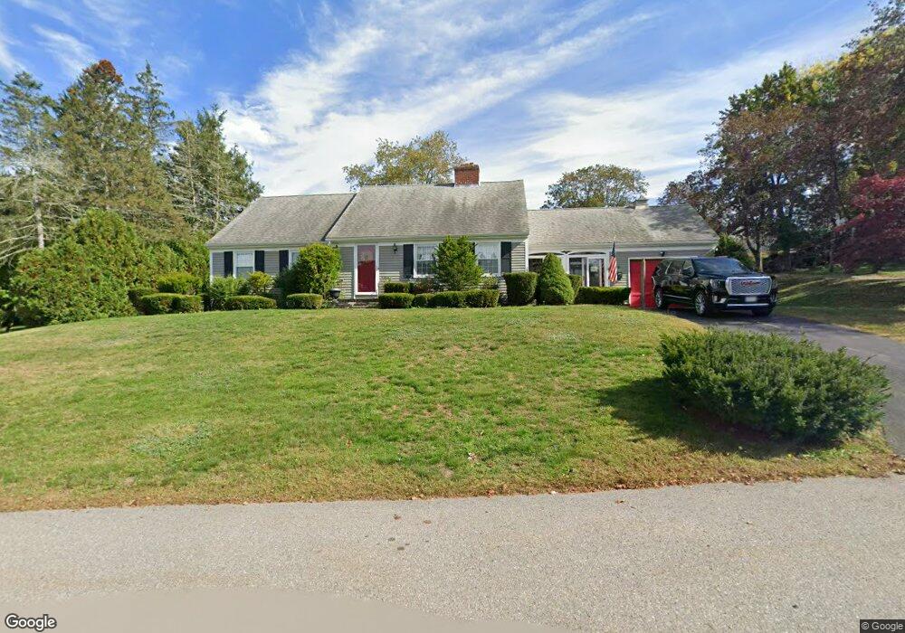
8 Cromie St Clinton, MA 01510
Estimated Value: $555,974 - $676,000
4
Beds
3
Baths
1,998
Sq Ft
$306/Sq Ft
Est. Value
About This Home
This home is located at 8 Cromie St, Clinton, MA 01510 and is currently estimated at $611,494, approximately $306 per square foot. 8 Cromie St is a home located in Worcester County with nearby schools including Clinton Elementary School, Clinton Senior High School, and Clinton Middle School.
Ownership History
Date
Name
Owned For
Owner Type
Purchase Details
Closed on
May 28, 2010
Sold by
Cromie St Rt and Marhefka Jean M
Bought by
Odonoghue Michael J
Current Estimated Value
Home Financials for this Owner
Home Financials are based on the most recent Mortgage that was taken out on this home.
Original Mortgage
$300,947
Outstanding Balance
$206,866
Interest Rate
5.5%
Mortgage Type
FHA
Estimated Equity
$404,628
Purchase Details
Closed on
Feb 25, 2000
Sold by
Schreiner Ralph W and Schreiner Regina A
Bought by
Cormie Street Rt and Schreiner Ralph W
Create a Home Valuation Report for This Property
The Home Valuation Report is an in-depth analysis detailing your home's value as well as a comparison with similar homes in the area
Home Values in the Area
Average Home Value in this Area
Purchase History
| Date | Buyer | Sale Price | Title Company |
|---|---|---|---|
| Odonoghue Michael J | $305,000 | -- | |
| Cormie Street Rt | $175,000 | -- |
Source: Public Records
Mortgage History
| Date | Status | Borrower | Loan Amount |
|---|---|---|---|
| Open | Odonoghue Michael J | $300,947 | |
| Previous Owner | Cormie Street Rt | $15,000 |
Source: Public Records
Tax History Compared to Growth
Tax History
| Year | Tax Paid | Tax Assessment Tax Assessment Total Assessment is a certain percentage of the fair market value that is determined by local assessors to be the total taxable value of land and additions on the property. | Land | Improvement |
|---|---|---|---|---|
| 2025 | $6,645 | $499,600 | $126,500 | $373,100 |
| 2024 | $6,369 | $484,700 | $126,500 | $358,200 |
| 2023 | $5,837 | $436,600 | $114,900 | $321,700 |
| 2022 | $5,928 | $397,600 | $104,500 | $293,100 |
| 2021 | $5,472 | $343,300 | $99,600 | $243,700 |
| 2020 | $5,157 | $332,900 | $99,600 | $233,300 |
| 2019 | $5,257 | $330,000 | $96,700 | $233,300 |
| 2018 | $5,109 | $300,900 | $96,700 | $204,200 |
| 2017 | $4,964 | $280,900 | $96,700 | $184,200 |
| 2016 | $4,568 | $264,500 | $96,700 | $167,800 |
| 2015 | $4,143 | $248,700 | $93,900 | $154,800 |
| 2014 | $4,017 | $248,700 | $93,900 | $154,800 |
Source: Public Records
Map
Nearby Homes
- 4 Jackie Way
- 18 Sargent Rd
- 6 Mcnulty Rd
- 118 Chace St
- 167 Lancaster Rd
- 28 Lindbergh St
- 200 Ridgefield Cir Unit C
- 405 Ridgefield Cir Unit C
- 11 Lindbergh Street Rear
- 19 Candice St
- 89 1/2 Walnut St
- 107 Ridgefield Cir Unit D
- 103 Ridgefield Cir Unit B
- 920 Ridgefield Cir Unit C
- 921 Ridgefield Cir Unit C
- 37 Grove St Unit 37
- 25 Collins Rd
- 109 Oak St
- 12 Woodruff Rd
- 70 Oak St Unit 70