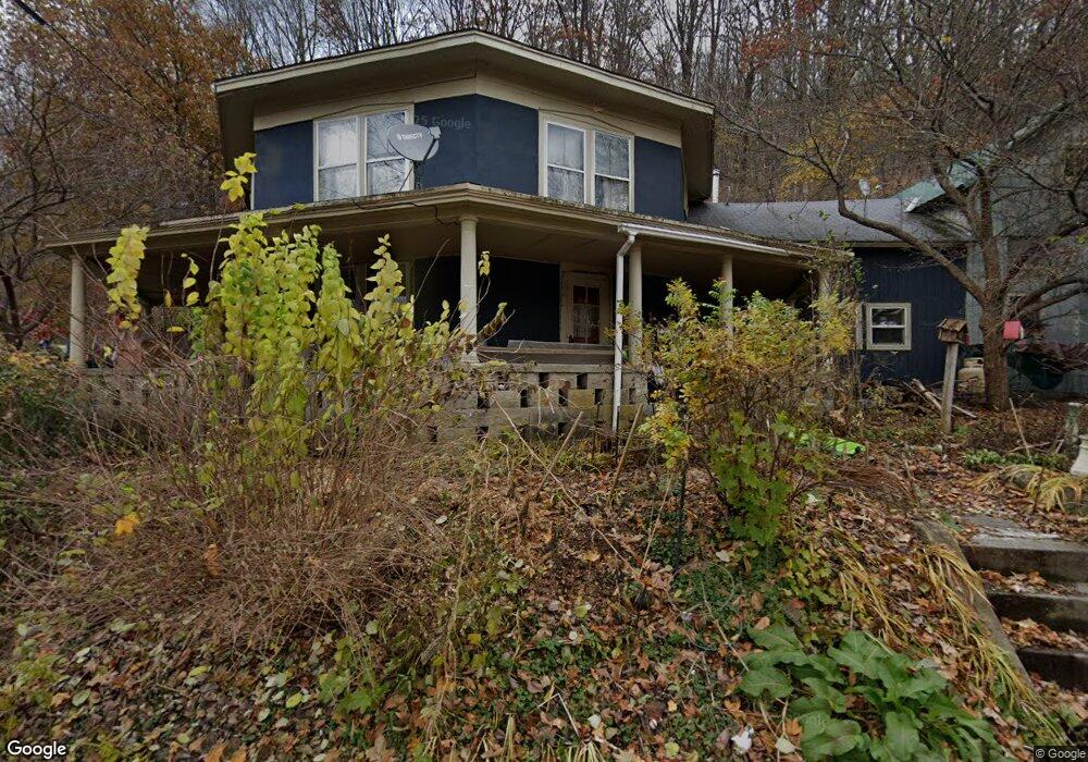
8 High St Colrain, MA 01340
Colrain NeighborhoodEstimated Value: $210,000 - $322,000
4
Beds
2
Baths
1,771
Sq Ft
$142/Sq Ft
Est. Value
About This Home
This home is located at 8 High St, Colrain, MA 01340 and is currently estimated at $251,646, approximately $142 per square foot. 8 High St is a home located in Franklin County with nearby schools including Mohawk Trail Regional High School.
Ownership History
Date
Name
Owned For
Owner Type
Purchase Details
Closed on
Aug 24, 1998
Sold by
Parker Gail M
Bought by
Adams Carole A and Utley William E
Current Estimated Value
Home Financials for this Owner
Home Financials are based on the most recent Mortgage that was taken out on this home.
Original Mortgage
$32,000
Outstanding Balance
$5,771
Interest Rate
6.86%
Mortgage Type
Purchase Money Mortgage
Estimated Equity
$245,875
Create a Home Valuation Report for This Property
The Home Valuation Report is an in-depth analysis detailing your home's value as well as a comparison with similar homes in the area
Home Values in the Area
Average Home Value in this Area
Purchase History
| Date | Buyer | Sale Price | Title Company |
|---|---|---|---|
| Adams Carole A | $40,000 | -- |
Source: Public Records
Mortgage History
| Date | Status | Borrower | Loan Amount |
|---|---|---|---|
| Open | Adams Carole A | $20,435 | |
| Open | Adams Carole A | $32,000 | |
| Previous Owner | Adams Carole A | $24,255 |
Source: Public Records
Tax History
| Year | Tax Paid | Tax Assessment Tax Assessment Total Assessment is a certain percentage of the fair market value that is determined by local assessors to be the total taxable value of land and additions on the property. | Land | Improvement |
|---|---|---|---|---|
| 2025 | $2,259 | $123,700 | $27,600 | $96,100 |
| 2024 | $2,348 | $123,700 | $27,600 | $96,100 |
| 2023 | $2,428 | $123,700 | $27,600 | $96,100 |
| 2022 | $2,533 | $123,700 | $27,600 | $96,100 |
| 2021 | $2,617 | $123,700 | $27,600 | $96,100 |
| 2020 | $2,465 | $123,700 | $27,600 | $96,100 |
| 2019 | $2,425 | $117,900 | $27,600 | $90,300 |
| 2018 | $2,237 | $110,500 | $20,200 | $90,300 |
| 2017 | $2,246 | $114,000 | $20,200 | $93,800 |
| 2016 | $1,909 | $102,200 | $20,200 | $82,000 |
| 2015 | $1,849 | $102,200 | $20,200 | $82,000 |
Source: Public Records
Map
Nearby Homes
- 2155 Massachusetts 2
- 2151 Route 2
- 30 Main St
- 295 Jacksonville Rd
- 10 Deerfield Ave Unit 2
- 8 Deer Run Path
- 23 E Brook Dr
- 151 Smead Hill Rd
- 71 George Lamb Rd
- 13 Bray Rd
- 0 W Oxbow Rd Unit 73453651
- 0 W Oxbow Rd Unit 248444
- 24 W Oxbow Rd
- 3 Flagg Hill Rd
- 9 Hancock Ln
- 714 Colrain Rd
- 25 Barton Rd
- 14 South Rd
- 7 Hog Hollow Rd
- 1451 Massachusetts 2
Your Personal Tour Guide
Ask me questions while you tour the home.