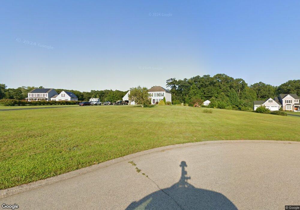
8 Jamies Way Oakdale, CT 06370
Estimated Value: $574,281 - $647,000
3
Beds
3
Baths
2,324
Sq Ft
$261/Sq Ft
Est. Value
About This Home
This home is located at 8 Jamies Way, Oakdale, CT 06370 and is currently estimated at $606,320, approximately $260 per square foot. 8 Jamies Way is a home located in New London County with nearby schools including Leonard J. Tyl Middle School, Montville High School, and St. Thomas More School.
Ownership History
Date
Name
Owned For
Owner Type
Purchase Details
Closed on
Apr 2, 2007
Sold by
Zito Builders Inc
Bought by
Crossno Robert R and Crossno Rachel A
Current Estimated Value
Home Financials for this Owner
Home Financials are based on the most recent Mortgage that was taken out on this home.
Original Mortgage
$366,300
Outstanding Balance
$223,659
Interest Rate
6.33%
Estimated Equity
$382,661
Create a Home Valuation Report for This Property
The Home Valuation Report is an in-depth analysis detailing your home's value as well as a comparison with similar homes in the area
Home Values in the Area
Average Home Value in this Area
Purchase History
| Date | Buyer | Sale Price | Title Company |
|---|---|---|---|
| Crossno Robert R | $407,000 | -- | |
| Crossno Robert R | $407,000 | -- |
Source: Public Records
Mortgage History
| Date | Status | Borrower | Loan Amount |
|---|---|---|---|
| Open | Crossno Robert R | $366,300 | |
| Closed | Crossno Robert R | $366,300 |
Source: Public Records
Tax History Compared to Growth
Tax History
| Year | Tax Paid | Tax Assessment Tax Assessment Total Assessment is a certain percentage of the fair market value that is determined by local assessors to be the total taxable value of land and additions on the property. | Land | Improvement |
|---|---|---|---|---|
| 2025 | $8,067 | $279,440 | $44,660 | $234,780 |
| 2024 | $7,760 | $279,440 | $44,660 | $234,780 |
| 2023 | $7,760 | $279,440 | $44,660 | $234,780 |
| 2022 | $7,464 | $279,440 | $44,660 | $234,780 |
| 2021 | $7,215 | $227,250 | $49,730 | $177,520 |
| 2020 | $7,358 | $227,250 | $49,730 | $177,520 |
| 2019 | $7,388 | $227,250 | $49,730 | $177,520 |
| 2018 | $7,211 | $227,250 | $49,720 | $177,530 |
| 2017 | $7,204 | $227,250 | $49,720 | $177,530 |
| 2016 | $7,262 | $237,250 | $64,180 | $173,070 |
| 2015 | $7,262 | $237,250 | $64,180 | $173,070 |
| 2014 | $6,968 | $237,250 | $64,180 | $173,070 |
Source: Public Records
Map
Nearby Homes
- 12 Church Rd
- 219 Doyle Rd
- 1578 Old Colchester Rd
- 8 Eddy Ct
- 12 Eddy Ct
- 52 Lake View Ave
- 87E Cottage Rd
- 33A Laurel Point Dr
- 33D Laurel Point Dr
- 156 Old Colchester Rd
- 20 Forest Dr
- 0 South Rd
- 306 Old Colchester Rd Unit 197
- 25 South Rd
- 69 Forsyth Rd
- 17 Manor Rd
- 343 Old Colchester Rd Unit R
- 19 New Hampshire Ln
- 29 Texas Dr
- 197 Connecticut Blvd
- 6 Jamies Way
- 4 Jamies Way
- 7 Jamies Way
- 5 Jamies Way
- 9 Jamies Way
- 10 Jamies Way
- 2 Jamies Way
- 3 Jamies Way
- 650 Norwich Salem Turnpike
- 675 Norwich-Salem Turnpike
- 1 Jamies Way
- 693 Norwich Salem Turnpike
- 675 Norwich Salem Turnpike
- 21 Church Rd
- 649 Norwich Salem Turnpike
- 640 Norwich Salem Turnpike
- 29 Church Rd
- 6 Church Rd
- 192 Doyle Rd
- 630 Oakdale Rd