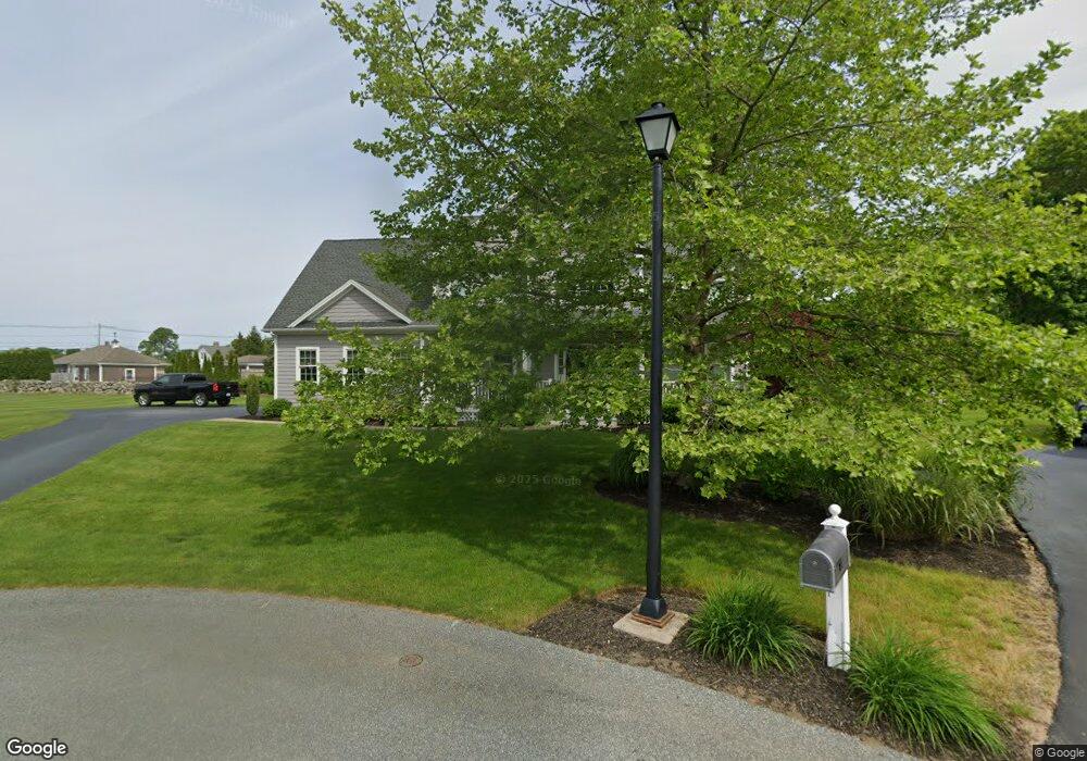
8 London Plane Ct Westerly, RI 02891
Estimated Value: $813,000 - $1,020,000
3
Beds
3
Baths
2,658
Sq Ft
$344/Sq Ft
Est. Value
About This Home
This home is located at 8 London Plane Ct, Westerly, RI 02891 and is currently estimated at $914,122, approximately $343 per square foot. 8 London Plane Ct is a home with nearby schools including Westerly High School and St. Michael School.
Ownership History
Date
Name
Owned For
Owner Type
Purchase Details
Closed on
May 5, 2021
Sold by
R A Sisco Lt and Sisco
Bought by
R A Sisco Lt and Sisco
Current Estimated Value
Home Financials for this Owner
Home Financials are based on the most recent Mortgage that was taken out on this home.
Original Mortgage
$267,000
Outstanding Balance
$199,470
Interest Rate
3.1%
Mortgage Type
New Conventional
Estimated Equity
$714,652
Create a Home Valuation Report for This Property
The Home Valuation Report is an in-depth analysis detailing your home's value as well as a comparison with similar homes in the area
Home Values in the Area
Average Home Value in this Area
Purchase History
| Date | Buyer | Sale Price | Title Company |
|---|---|---|---|
| R A Sisco Lt | -- | None Available |
Source: Public Records
Mortgage History
| Date | Status | Borrower | Loan Amount |
|---|---|---|---|
| Open | R A Sisco Lt | $267,000 |
Source: Public Records
Tax History Compared to Growth
Tax History
| Year | Tax Paid | Tax Assessment Tax Assessment Total Assessment is a certain percentage of the fair market value that is determined by local assessors to be the total taxable value of land and additions on the property. | Land | Improvement |
|---|---|---|---|---|
| 2025 | $5,900 | $758,300 | $230,500 | $527,800 |
| 2024 | $5,769 | $552,100 | $164,700 | $387,400 |
| 2023 | $5,609 | $552,100 | $164,700 | $387,400 |
| 2022 | $5,576 | $552,100 | $164,700 | $387,400 |
| 2021 | $5,608 | $465,000 | $143,200 | $321,800 |
| 2020 | $5,510 | $465,000 | $143,200 | $321,800 |
| 2019 | $5,459 | $465,000 | $143,200 | $321,800 |
| 2018 | $5,033 | $407,500 | $143,200 | $264,300 |
| 2017 | $4,890 | $407,500 | $143,200 | $264,300 |
| 2016 | $4,890 | $407,500 | $143,200 | $264,300 |
| 2015 | $4,718 | $420,100 | $146,200 | $273,900 |
| 2014 | $4,642 | $420,100 | $146,200 | $273,900 |
Source: Public Records
Map
Nearby Homes
- 11 Hubbard St
- 24 Abbey Ln Unit 13
- 23 Abbey Ln Unit 12
- 8 Seawinds Terrace
- 2 Brass Ring Rd
- 18 Timothy Dr
- 9 Cedar Crest Dr
- 28 Whipple Ave
- 14 Summertime Cir
- 22 Summertime Cir
- 23 Summertime Cir
- 39 Summertime Cir
- 16 Summertime Cir
- 38 Summertime Cir
- 45 Summertime Cir
- Monroe Plan at The Enclave at Barn Island
- Lincoln Plan at The Enclave at Barn Island
- Roosevelt Plan at The Enclave at Barn Island
- 2 Pawcatuck Ave
- 44 George St
- 6 London Plane Ct
- 7 London Plane Ct
- 5 Riverview Ave
- 5 London Plane Ct
- 134 Beach St Unit 3
- 134 Beach St
- 15 Riverview Ave
- 4 London Plane Ct
- 132 Beach St
- 130 Beach St
- 3 London Plane Ct
- 128 Beach St
- 4 Riverview Ave
- 14 Hubbard St
- 8 Riverview Ave
- 136 Beach St Unit 2
- 136 Beach St
- 138 Beach St
- 126 Beach St
- 1 London Plane Ct