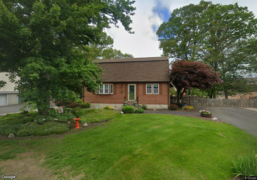
8 Northridge Rd Westfield, MA 01085
Estimated Value: $360,000 - $385,000
3
Beds
2
Baths
1,632
Sq Ft
$228/Sq Ft
Est. Value
About This Home
This home is located at 8 Northridge Rd, Westfield, MA 01085 and is currently estimated at $371,957, approximately $227 per square foot. 8 Northridge Rd is a home located in Hampden County with nearby schools including Westfield High School.
Ownership History
Date
Name
Owned For
Owner Type
Purchase Details
Closed on
Feb 18, 2010
Sold by
Daniels Michael D
Bought by
Daniels Michael D and Daniels Frances J
Current Estimated Value
Home Financials for this Owner
Home Financials are based on the most recent Mortgage that was taken out on this home.
Original Mortgage
$339,000
Outstanding Balance
$225,927
Interest Rate
5.17%
Mortgage Type
Reverse Mortgage Home Equity Conversion Mortgage
Estimated Equity
$146,030
Purchase Details
Closed on
Aug 22, 1985
Bought by
Daniels Michael D and Daniels Frances J
Create a Home Valuation Report for This Property
The Home Valuation Report is an in-depth analysis detailing your home's value as well as a comparison with similar homes in the area
Home Values in the Area
Average Home Value in this Area
Purchase History
| Date | Buyer | Sale Price | Title Company |
|---|---|---|---|
| Daniels Michael D | -- | -- | |
| Daniels Michael D | -- | -- |
Source: Public Records
Mortgage History
| Date | Status | Borrower | Loan Amount |
|---|---|---|---|
| Open | Daniels Michael D | $339,000 | |
| Previous Owner | Daniels Michael D | $35,000 | |
| Previous Owner | Daniels Michael D | $20,000 |
Source: Public Records
Tax History Compared to Growth
Tax History
| Year | Tax Paid | Tax Assessment Tax Assessment Total Assessment is a certain percentage of the fair market value that is determined by local assessors to be the total taxable value of land and additions on the property. | Land | Improvement |
|---|---|---|---|---|
| 2025 | $4,515 | $297,400 | $115,400 | $182,000 |
| 2024 | $4,504 | $282,000 | $104,900 | $177,100 |
| 2023 | $4,338 | $255,500 | $99,900 | $155,600 |
| 2022 | $4,162 | $225,100 | $89,000 | $136,100 |
| 2021 | $5,631 | $213,500 | $84,000 | $129,500 |
| 2020 | $3,919 | $203,600 | $84,000 | $119,600 |
| 2019 | $3,832 | $194,800 | $80,100 | $114,700 |
| 2018 | $3,771 | $194,800 | $80,100 | $114,700 |
| 2017 | $3,707 | $190,900 | $81,200 | $109,700 |
| 2016 | $3,711 | $190,900 | $81,200 | $109,700 |
| 2015 | $3,417 | $184,300 | $81,200 | $103,100 |
| 2014 | $2,554 | $184,300 | $81,200 | $103,100 |
Source: Public Records
Map
Nearby Homes
- 17 Jeanne Marie Dr
- 103 Feeding Hills Rd
- 0 Feeding Hills Rd
- 60 Shaker Rd
- 19 Locust St
- 27 Coyote Cir
- 0 E Mountain Rd
- 15 Laro Cir
- 60 Farmington Cir
- 94 Pineridge Dr
- 1085 N Street Extension
- 0 Little River Road ( Rear )
- 22 Beech Hill Rd
- 20 Raymond Cir
- 92 Juniper Ridge Dr
- 360 Falley Dr
- 123 Belknap Ave
- 103 Hillcrest Ave
- 346 E Mountain Rd
- 169 Chilson Rd