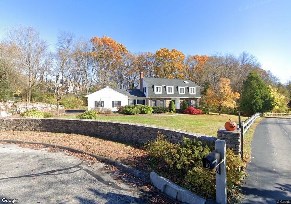
8 Old Stonebridge Path Westborough, MA 01581
Estimated Value: $1,042,226 - $1,216,000
4
Beds
5
Baths
3,236
Sq Ft
$353/Sq Ft
Est. Value
About This Home
This home is located at 8 Old Stonebridge Path, Westborough, MA 01581 and is currently estimated at $1,141,807, approximately $352 per square foot. 8 Old Stonebridge Path is a home located in Worcester County with nearby schools including Westborough High School, Ebridge Montessori School, and Westboro Knowledge Beginnings.
Ownership History
Date
Name
Owned For
Owner Type
Purchase Details
Closed on
Sep 17, 2020
Sold by
Karp Michael J and Karp Sheila G
Bought by
Buescher Michael B and Buescher Leah S
Current Estimated Value
Home Financials for this Owner
Home Financials are based on the most recent Mortgage that was taken out on this home.
Original Mortgage
$510,400
Outstanding Balance
$452,106
Interest Rate
2.8%
Mortgage Type
Purchase Money Mortgage
Estimated Equity
$689,701
Purchase Details
Closed on
Jun 28, 2018
Sold by
Karp Michael J and Karp Sheila G
Bought by
Karp Michael J and Karp Sheila
Purchase Details
Closed on
Jan 31, 2001
Sold by
Soderlund Martin I and Soderlund Shirley A
Bought by
Karp Michael J and Karp Sheila G
Create a Home Valuation Report for This Property
The Home Valuation Report is an in-depth analysis detailing your home's value as well as a comparison with similar homes in the area
Home Values in the Area
Average Home Value in this Area
Purchase History
| Date | Buyer | Sale Price | Title Company |
|---|---|---|---|
| Buescher Michael B | $749,900 | None Available | |
| Karp Michael J | -- | -- | |
| Karp Michael J | $471,000 | -- |
Source: Public Records
Mortgage History
| Date | Status | Borrower | Loan Amount |
|---|---|---|---|
| Open | Buescher Michael B | $510,400 | |
| Previous Owner | Karp Michael J | $295,000 | |
| Previous Owner | Karp Michael J | $372,000 | |
| Previous Owner | Karp Michael J | $50,000 |
Source: Public Records
Tax History Compared to Growth
Tax History
| Year | Tax Paid | Tax Assessment Tax Assessment Total Assessment is a certain percentage of the fair market value that is determined by local assessors to be the total taxable value of land and additions on the property. | Land | Improvement |
|---|---|---|---|---|
| 2025 | $15,686 | $962,900 | $363,800 | $599,100 |
| 2024 | $14,661 | $893,400 | $346,300 | $547,100 |
| 2023 | $13,972 | $829,700 | $326,700 | $503,000 |
| 2022 | $13,030 | $704,700 | $260,200 | $444,500 |
| 2021 | $12,870 | $694,200 | $249,700 | $444,500 |
| 2020 | $12,797 | $698,500 | $264,300 | $434,200 |
| 2019 | $12,483 | $681,000 | $260,100 | $420,900 |
| 2018 | $11,543 | $625,300 | $249,700 | $375,600 |
| 2017 | $11,130 | $625,300 | $249,700 | $375,600 |
| 2016 | $11,174 | $628,800 | $249,700 | $379,100 |
| 2015 | $10,760 | $578,800 | $220,600 | $358,200 |
Source: Public Records
Map
Nearby Homes
- 8 Olde Stonebridge Path
- 6 Old Stonebridge Path
- 30 Nourse St
- 4 Old Stonebridge Path
- 38 Nourse St
- 7 Olde Stonebridge Path
- 7 Old Stonebridge Path
- 10 Old Stonebridge Path
- 2 Old Stonebridge Path
- 5 Old Stonebridge Path
- 28 Nourse St
- 3 Olde Stonebridge Path
- 3 Old Stonebridge Path
- 1 Old Stonebridge Path
- 36 Old Nourse St
- 26 Nourse St
- 37 Old Nourse St
- 53 Nourse St
- 15 Capt Samuel Forbush Rd
- 44 Nourse St