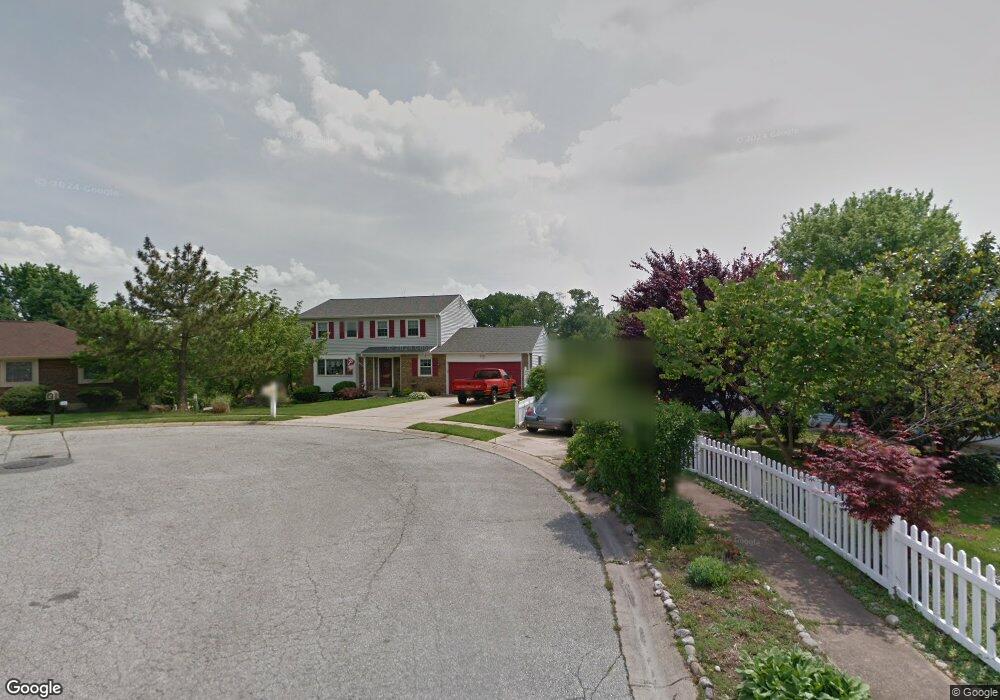
8 Philip Ct Claymont, DE 19703
Estimated Value: $445,000 - $528,000
4
Beds
3
Baths
2,075
Sq Ft
$230/Sq Ft
Est. Value
About This Home
This home is located at 8 Philip Ct, Claymont, DE 19703 and is currently estimated at $477,471, approximately $230 per square foot. 8 Philip Ct is a home located in New Castle County with nearby schools including Maple Lane Elementary School, Pierre S. Dupont Middle School, and Brandywine High School.
Ownership History
Date
Name
Owned For
Owner Type
Purchase Details
Closed on
Jul 10, 2009
Sold by
Stang Jeffrey W and Stang Lauren Modesto
Bought by
Trent Frank X and Trent Lucille N
Current Estimated Value
Home Financials for this Owner
Home Financials are based on the most recent Mortgage that was taken out on this home.
Original Mortgage
$259,920
Outstanding Balance
$171,953
Interest Rate
5.58%
Mortgage Type
Future Advance Clause Open End Mortgage
Estimated Equity
$305,518
Purchase Details
Closed on
Mar 31, 2005
Sold by
Roland Charles R and Roland Paula R
Bought by
Stang Jeffrey W and Modesto Lauren
Home Financials for this Owner
Home Financials are based on the most recent Mortgage that was taken out on this home.
Original Mortgage
$44,250
Interest Rate
5.61%
Mortgage Type
Credit Line Revolving
Create a Home Valuation Report for This Property
The Home Valuation Report is an in-depth analysis detailing your home's value as well as a comparison with similar homes in the area
Home Values in the Area
Average Home Value in this Area
Purchase History
| Date | Buyer | Sale Price | Title Company |
|---|---|---|---|
| Trent Frank X | $324,900 | None Available | |
| Stang Jeffrey W | $295,000 | -- |
Source: Public Records
Mortgage History
| Date | Status | Borrower | Loan Amount |
|---|---|---|---|
| Open | Trent Frank X | $259,920 | |
| Previous Owner | Stang Jeffrey W | $44,250 |
Source: Public Records
Tax History Compared to Growth
Tax History
| Year | Tax Paid | Tax Assessment Tax Assessment Total Assessment is a certain percentage of the fair market value that is determined by local assessors to be the total taxable value of land and additions on the property. | Land | Improvement |
|---|---|---|---|---|
| 2024 | $3,166 | $93,000 | $12,100 | $80,900 |
| 2023 | $2,863 | $93,000 | $12,100 | $80,900 |
| 2022 | $2,900 | $93,000 | $12,100 | $80,900 |
| 2021 | $2,996 | $93,000 | $12,100 | $80,900 |
| 2020 | $2,988 | $93,000 | $12,100 | $80,900 |
| 2019 | $3,125 | $93,000 | $12,100 | $80,900 |
| 2018 | $3,253 | $93,000 | $12,100 | $80,900 |
| 2017 | $3,204 | $93,000 | $12,100 | $80,900 |
| 2016 | $3,185 | $93,000 | $12,100 | $80,900 |
| 2015 | -- | $93,000 | $12,100 | $80,900 |
| 2014 | $2,941 | $93,000 | $12,100 | $80,900 |
Source: Public Records
Map
Nearby Homes
- 814 Naudain Ave
- 45 Osage Rd
- 707 Parkside Blvd
- 307 New York Ave
- 1602 Harvey Rd
- 2603 Lincoln Ave
- 2810 Green St
- 69 Indian Field Rd
- 120 Hilldale Ct
- 3048 Greenshire Ave
- 1904 Garfield Ave
- 48 4th Ave
- 2205 Lincoln Ave
- 1810 Garfield Ave
- 1607 Silverside Rd
- 1900 Beechwood Dr
- 1425 Bucknell Rd
- 8 Commonwealth Ave
- 1905 Harvey Rd
- 1400 Carson Rd