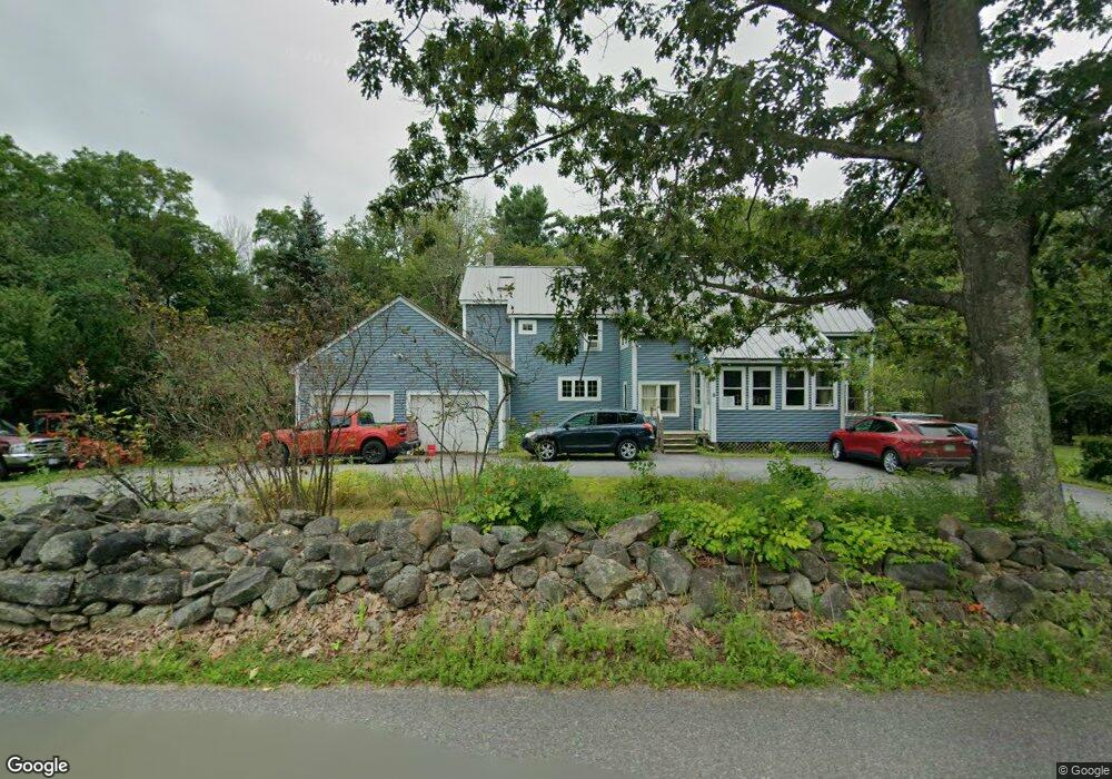
8 Potter Rd Wilton, NH 03086
Estimated Value: $550,000 - $707,000
4
Beds
3
Baths
3,328
Sq Ft
$193/Sq Ft
Est. Value
About This Home
This home is located at 8 Potter Rd, Wilton, NH 03086 and is currently estimated at $640,949, approximately $192 per square foot. 8 Potter Rd is a home located in Hillsborough County with nearby schools including Florence Rideout Elementary School, Wilton-Lyndeborough Cooperative Middle School, and Wilton-Lyndeborough Cooperative High School.
Ownership History
Date
Name
Owned For
Owner Type
Purchase Details
Closed on
Nov 3, 2000
Sold by
Carr Francis J and Carr Anne M
Bought by
Natola Greg A and Natola Joan
Current Estimated Value
Home Financials for this Owner
Home Financials are based on the most recent Mortgage that was taken out on this home.
Original Mortgage
$200,000
Outstanding Balance
$73,433
Interest Rate
7.83%
Estimated Equity
$567,516
Create a Home Valuation Report for This Property
The Home Valuation Report is an in-depth analysis detailing your home's value as well as a comparison with similar homes in the area
Home Values in the Area
Average Home Value in this Area
Purchase History
| Date | Buyer | Sale Price | Title Company |
|---|---|---|---|
| Natola Greg A | $270,000 | -- |
Source: Public Records
Mortgage History
| Date | Status | Borrower | Loan Amount |
|---|---|---|---|
| Open | Natola Greg A | $121,120 | |
| Open | Natola Greg A | $200,000 |
Source: Public Records
Tax History Compared to Growth
Tax History
| Year | Tax Paid | Tax Assessment Tax Assessment Total Assessment is a certain percentage of the fair market value that is determined by local assessors to be the total taxable value of land and additions on the property. | Land | Improvement |
|---|---|---|---|---|
| 2024 | $12,442 | $500,300 | $123,800 | $376,500 |
| 2023 | $11,107 | $500,300 | $123,800 | $376,500 |
| 2022 | $9,923 | $480,300 | $123,800 | $356,500 |
| 2021 | $9,231 | $480,300 | $123,800 | $356,500 |
| 2020 | $9,716 | $330,600 | $91,000 | $239,600 |
| 2019 | $9,531 | $328,200 | $91,000 | $237,200 |
| 2018 | $9,439 | $328,200 | $91,000 | $237,200 |
| 2017 | $8,917 | $328,200 | $91,000 | $237,200 |
| 2016 | $8,645 | $328,200 | $91,000 | $237,200 |
| 2015 | $7,934 | $301,200 | $89,200 | $212,000 |
| 2014 | $7,650 | $296,500 | $89,200 | $207,300 |
| 2013 | $7,715 | $296,500 | $89,200 | $207,300 |
Source: Public Records
Map
Nearby Homes
- 18 Richfield Way
- 30 Holden Ln
- 119 Boynton Hill Rd
- 126 Boynton Hill Rd
- Lot F-88-9 Aria Hill Dr
- F-88-10 Aria Hill Dr
- 88 McGettigan Rd Unit 88-6-1
- 81 Abbot Hill Acres
- F/88-5 McGettigan Rd
- F/88-4 McGettigan Rd
- F-88-11 Aria Hill Dr
- F-88-12 Aria Hill Dr
- F-88-7 Aria Hill Dr
- Lots 4 & 7 Gibbons & Robbins Rd
- 94 Wilton Center Rd
- 27 Island St
- 10 Mill St
- 8 Maple St
- 60 Goldsmith Rd
- 59 Goldsmith Rd
- 589 Abbot Hill Rd
- 16 Potter Rd
- 592 Abbot Hill Rd
- 592 Abbot Hill Rd
- 589 Abbott Hill Rd
- 599 Abbot Hill Rd
- 19 Potter Rd
- 26 Potter Rd
- 609 Abbot Hill Rd
- 5 Potter Rd
- 619 Abbot Hill Rd
- 36 Potter Rd
- 36 Potter Rd
- 629 Abbot Hill Rd
- 564 Abbot Hill Rd
- 20 Highfields Rd
- 608 Abbot Hill Rd
- 626 Abbot Hill Rd
- 47 Potter Rd
- 33 Highfields Rd