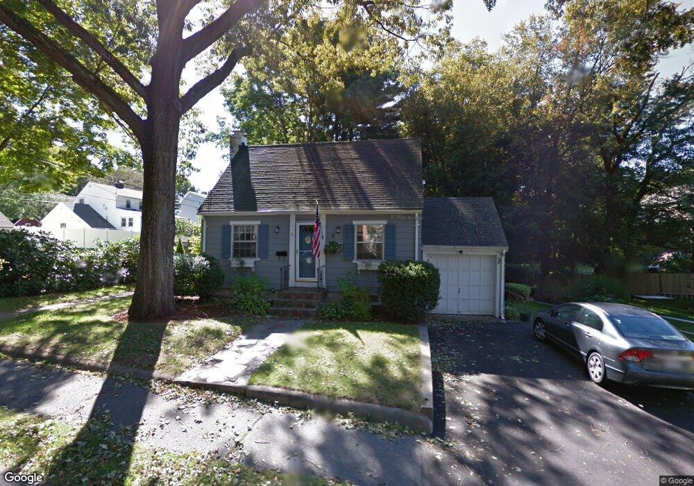
8 Robert St Wakefield, MA 01880
Greenwood NeighborhoodEstimated Value: $918,000 - $1,098,000
4
Beds
4
Baths
2,396
Sq Ft
$416/Sq Ft
Est. Value
About This Home
This home is located at 8 Robert St, Wakefield, MA 01880 and is currently estimated at $997,150, approximately $416 per square foot. 8 Robert St is a home located in Middlesex County with nearby schools including Wakefield Memorial High School, St Joseph School, and St. Patrick Elementary School.
Ownership History
Date
Name
Owned For
Owner Type
Purchase Details
Closed on
Sep 19, 1994
Sold by
Delson Jeffrey H and Delson Samantha M
Bought by
Crump Jeffrey M and Crump Mary J
Current Estimated Value
Home Financials for this Owner
Home Financials are based on the most recent Mortgage that was taken out on this home.
Original Mortgage
$160,800
Interest Rate
8.38%
Mortgage Type
Purchase Money Mortgage
Purchase Details
Closed on
Jul 29, 1988
Sold by
Vitti Ralph A
Bought by
Delson Jeffrey H
Home Financials for this Owner
Home Financials are based on the most recent Mortgage that was taken out on this home.
Original Mortgage
$120,000
Interest Rate
10.39%
Mortgage Type
Purchase Money Mortgage
Create a Home Valuation Report for This Property
The Home Valuation Report is an in-depth analysis detailing your home's value as well as a comparison with similar homes in the area
Home Values in the Area
Average Home Value in this Area
Purchase History
| Date | Buyer | Sale Price | Title Company |
|---|---|---|---|
| Crump Jeffrey M | $178,700 | -- | |
| Delson Jeffrey H | $172,200 | -- |
Source: Public Records
Mortgage History
| Date | Status | Borrower | Loan Amount |
|---|---|---|---|
| Open | Delson Jeffrey H | $232,000 | |
| Closed | Delson Jeffrey H | $160,800 | |
| Previous Owner | Delson Jeffrey H | $116,000 | |
| Previous Owner | Delson Jeffrey H | $120,000 |
Source: Public Records
Tax History Compared to Growth
Tax History
| Year | Tax Paid | Tax Assessment Tax Assessment Total Assessment is a certain percentage of the fair market value that is determined by local assessors to be the total taxable value of land and additions on the property. | Land | Improvement |
|---|---|---|---|---|
| 2025 | $9,651 | $850,300 | $419,700 | $430,600 |
| 2024 | $8,900 | $791,100 | $390,400 | $400,700 |
| 2023 | $8,663 | $738,500 | $364,400 | $374,100 |
| 2022 | $8,126 | $659,600 | $325,400 | $334,200 |
| 2021 | $7,761 | $609,700 | $297,500 | $312,200 |
| 2020 | $7,298 | $571,500 | $278,900 | $292,600 |
| 2019 | $6,845 | $533,500 | $260,300 | $273,200 |
| 2018 | $6,599 | $509,600 | $248,700 | $260,900 |
| 2017 | $6,206 | $476,300 | $232,400 | $243,900 |
| 2016 | $6,209 | $460,300 | $229,400 | $230,900 |
| 2015 | $5,799 | $430,200 | $214,400 | $215,800 |
| 2014 | $5,365 | $419,800 | $209,200 | $210,600 |
Source: Public Records
Map
Nearby Homes
- 61 Forest St
- 772 Main St Unit 2
- 3 Hickory Hill Rd Unit 1
- 762 Main St
- 9 Lovis Ave
- 1 Sidney St
- 18 Crosby Rd
- 6 Lovis Ave
- 12 Lovis Ave
- 24 Myrtle Ave
- 95 Greenwood Ave
- 19 Fellsmere Ave
- 1 Ludlow Ave
- 81 Spring St
- 39 Tamarock Terrace
- 4 Gavin Cir
- 134 Nahant St Unit B
- 14 Dinanno Rd
- 4 Vernon Ave
- 38 Bennett St Unit 3D