8 Swanswood Ln Old Lyme, CT 06371
Estimated Value: $647,000 - $1,001,000
3
Beds
3
Baths
2,979
Sq Ft
$273/Sq Ft
Est. Value
About This Home
This home is located at 8 Swanswood Ln, Old Lyme, CT 06371 and is currently estimated at $814,089, approximately $273 per square foot. 8 Swanswood Ln is a home located in New London County with nearby schools including Mile Creek School, Lyme-Old Lyme Middle School, and Lyme-Old Lyme High School.
Ownership History
Date
Name
Owned For
Owner Type
Purchase Details
Closed on
May 26, 1993
Sold by
Old Lyme Dev Corp
Bought by
Russell Andrew L and Russell Pamela S R
Current Estimated Value
Home Financials for this Owner
Home Financials are based on the most recent Mortgage that was taken out on this home.
Original Mortgage
$188,000
Interest Rate
7.41%
Mortgage Type
Unknown
Create a Home Valuation Report for This Property
The Home Valuation Report is an in-depth analysis detailing your home's value as well as a comparison with similar homes in the area
Home Values in the Area
Average Home Value in this Area
Purchase History
| Date | Buyer | Sale Price | Title Company |
|---|---|---|---|
| Russell Andrew L | $255,500 | -- | |
| Old Lyme Dev Corp | $69,900 | -- |
Source: Public Records
Mortgage History
| Date | Status | Borrower | Loan Amount |
|---|---|---|---|
| Open | Old Lyme Dev Corp | $100,000 | |
| Closed | Old Lyme Dev Corp | $50,000 | |
| Closed | Old Lyme Dev Corp | $270,000 | |
| Closed | Old Lyme Dev Corp | $188,000 |
Source: Public Records
Tax History Compared to Growth
Tax History
| Year | Tax Paid | Tax Assessment Tax Assessment Total Assessment is a certain percentage of the fair market value that is determined by local assessors to be the total taxable value of land and additions on the property. | Land | Improvement |
|---|---|---|---|---|
| 2025 | $7,850 | $483,700 | $125,200 | $358,500 |
| 2024 | $7,296 | $299,000 | $101,100 | $197,900 |
| 2023 | $7,027 | $299,000 | $101,100 | $197,900 |
| 2022 | $7,027 | $299,000 | $101,100 | $197,900 |
| 2021 | $6,967 | $299,000 | $101,100 | $197,900 |
| 2020 | $6,937 | $299,000 | $101,100 | $197,900 |
| 2019 | $6,949 | $310,100 | $101,100 | $209,000 |
| 2018 | $6,794 | $310,100 | $101,100 | $209,000 |
| 2017 | $6,745 | $310,100 | $101,100 | $209,000 |
| 2016 | $6,574 | $310,100 | $101,100 | $209,000 |
| 2015 | $6,394 | $310,100 | $101,100 | $209,000 |
| 2014 | $6,059 | $308,200 | $101,100 | $207,100 |
Source: Public Records
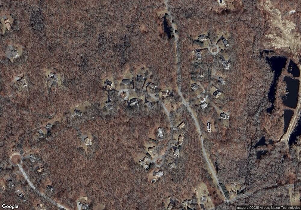
Map
Nearby Homes
- 2 Riverdale Landing
- 4 Jean Dr
- 22 Riverdale Landing
- 231 Mile Creek Rd
- 15 Short Hills Rd
- 14 Colton Rd
- 284 Shore Rd
- 188 4 Mile River Rd
- 15 Freedom Way Unit 92
- 30 Hartford Ave Unit B
- 44 Hartford Ave
- 223 Giants Neck Rd
- 224 Shore Rd
- 56 Columbus Ave
- 18 Twin Valley Rd
- 16 Twin Valley Rd
- Waramaug Plan at Riverside Reserve
- Highland Plan at Riverside Reserve
- Hayward Plan at Riverside Reserve
- Ashford Plan at Riverside Reserve