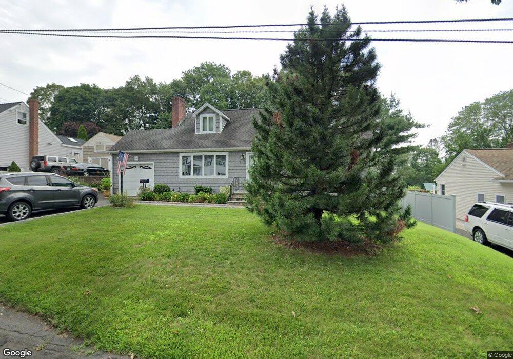
8 Tilden Rd Danbury, CT 06810
Germantown NeighborhoodEstimated Value: $464,303 - $585,000
3
Beds
2
Baths
1,850
Sq Ft
$290/Sq Ft
Est. Value
About This Home
This home is located at 8 Tilden Rd, Danbury, CT 06810 and is currently estimated at $536,576, approximately $290 per square foot. 8 Tilden Rd is a home located in Fairfield County with nearby schools including Ellsworth Avenue School, Broadview Middle School, and Danbury High School.
Ownership History
Date
Name
Owned For
Owner Type
Purchase Details
Closed on
Aug 6, 2024
Sold by
Dacosta Azene F
Bought by
Dacosta Silvestre
Current Estimated Value
Purchase Details
Closed on
Sep 19, 2011
Sold by
Carey Robert F and Carey Barbara B
Bought by
Dacostaqazene Silvestre
Home Financials for this Owner
Home Financials are based on the most recent Mortgage that was taken out on this home.
Original Mortgage
$130,000
Interest Rate
4.38%
Purchase Details
Closed on
Nov 10, 1993
Sold by
Mooney Ann Est
Bought by
Carey Robert and Carey Barbara
Create a Home Valuation Report for This Property
The Home Valuation Report is an in-depth analysis detailing your home's value as well as a comparison with similar homes in the area
Home Values in the Area
Average Home Value in this Area
Purchase History
| Date | Buyer | Sale Price | Title Company |
|---|---|---|---|
| Dacosta Silvestre | -- | None Available | |
| Dacosta Silvestre | -- | None Available | |
| Dacostaqazene Silvestre | $298,000 | -- | |
| Carey Robert | $133,500 | -- | |
| Dacostaqazene Silvestre | $298,000 | -- | |
| Carey Robert | $133,500 | -- |
Source: Public Records
Mortgage History
| Date | Status | Borrower | Loan Amount |
|---|---|---|---|
| Previous Owner | Carey Robert | $130,000 | |
| Previous Owner | Carey Robert | $114,000 | |
| Previous Owner | Carey Robert | $155,000 |
Source: Public Records
Tax History Compared to Growth
Tax History
| Year | Tax Paid | Tax Assessment Tax Assessment Total Assessment is a certain percentage of the fair market value that is determined by local assessors to be the total taxable value of land and additions on the property. | Land | Improvement |
|---|---|---|---|---|
| 2025 | $5,920 | $236,880 | $63,420 | $173,460 |
| 2024 | $5,789 | $236,880 | $63,420 | $173,460 |
| 2023 | $5,526 | $236,880 | $63,420 | $173,460 |
| 2022 | $5,091 | $180,400 | $66,300 | $114,100 |
| 2021 | $4,979 | $180,400 | $66,300 | $114,100 |
| 2020 | $4,979 | $180,400 | $66,300 | $114,100 |
| 2019 | $4,979 | $180,400 | $66,300 | $114,100 |
| 2018 | $4,979 | $180,400 | $66,300 | $114,100 |
| 2017 | $4,826 | $166,700 | $63,100 | $103,600 |
| 2016 | $4,781 | $166,700 | $63,100 | $103,600 |
| 2015 | $4,711 | $166,700 | $63,100 | $103,600 |
| 2014 | $4,601 | $166,700 | $63,100 | $103,600 |
Source: Public Records
Map
Nearby Homes
- 16 Springside Ave
- 7 Tilden Rd
- 34 Morgan Ave
- 20 Oak Ridge Gate
- 30 Grove Place
- 20 Meadow St
- 18 Meadow St
- 14 Locust Ave
- 156 Triangle St
- 40 Great Plain Rd
- 25 E Cross Trail Unit 25
- 22 Brentwood Cir Unit 22
- 61 Brentwood Cir Unit 66
- 101 Brentwood Cir Unit 101
- 5 W Cross Trail Unit 5
- 55 Cross St Unit B6
- 127 Triangle St
- 5 Woodside Ave Unit 41
- 51 Wildman St Unit 407
- 8 Briarwood Dr