8 Towle Rd Intervale, NH 03845
Estimated Value: $1,075,000 - $1,224,031
4
Beds
4
Baths
4,728
Sq Ft
$240/Sq Ft
Est. Value
About This Home
This home is located at 8 Towle Rd, Intervale, NH 03845 and is currently estimated at $1,135,508, approximately $240 per square foot. 8 Towle Rd is a home with nearby schools including Josiah Bartlett Elementary School.
Ownership History
Date
Name
Owned For
Owner Type
Purchase Details
Closed on
Jul 2, 2020
Sold by
Sartory Thomas J and Sartory David E
Bought by
Foley Peter J and Russell Ellen K
Current Estimated Value
Home Financials for this Owner
Home Financials are based on the most recent Mortgage that was taken out on this home.
Original Mortgage
$510,000
Outstanding Balance
$453,073
Interest Rate
3.2%
Mortgage Type
New Conventional
Estimated Equity
$682,435
Purchase Details
Closed on
Sep 17, 2002
Sold by
Zimmerman Robert A and Zimmerman Kathleen
Bought by
Sartory Thomas J
Create a Home Valuation Report for This Property
The Home Valuation Report is an in-depth analysis detailing your home's value as well as a comparison with similar homes in the area
Home Values in the Area
Average Home Value in this Area
Purchase History
| Date | Buyer | Sale Price | Title Company |
|---|---|---|---|
| Foley Peter J | $640,000 | None Available | |
| Sartory Thomas J | $148,000 | -- |
Source: Public Records
Mortgage History
| Date | Status | Borrower | Loan Amount |
|---|---|---|---|
| Open | Foley Peter J | $510,000 | |
| Previous Owner | Sartory Thomas J | $50,000 | |
| Previous Owner | Sartory Thomas J | $110,000 |
Source: Public Records
Tax History
| Year | Tax Paid | Tax Assessment Tax Assessment Total Assessment is a certain percentage of the fair market value that is determined by local assessors to be the total taxable value of land and additions on the property. | Land | Improvement |
|---|---|---|---|---|
| 2024 | $6,471 | $1,159,600 | $395,500 | $764,100 |
| 2023 | $5,984 | $1,159,600 | $395,500 | $764,100 |
| 2022 | $5,763 | $1,159,600 | $395,500 | $764,100 |
| 2021 | $6,357 | $667,100 | $302,900 | $364,200 |
| 2020 | $6,444 | $667,100 | $302,900 | $364,200 |
| 2019 | $6,231 | $667,100 | $302,900 | $364,200 |
| 2018 | $6,091 | $667,100 | $302,900 | $364,200 |
| 2016 | $4,988 | $525,100 | $146,700 | $378,400 |
| 2015 | $5,009 | $525,100 | $146,700 | $378,400 |
| 2014 | $5,141 | $525,100 | $146,700 | $378,400 |
| 2010 | $4,907 | $536,300 | $145,400 | $390,900 |
Source: Public Records
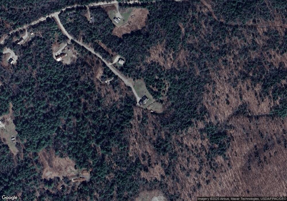
Map
Nearby Homes
- 464 Town Hall Rd
- 83 Towle Rd
- 00 Dundee Rd Unit R00
- 5 Holiday Ridge Rd
- 20 Highwoods Dr
- 17 Highwoods Dr Unit 16 and 17
- 00 Moat Mountain Circle Rd Unit 15
- 3 Beechwoods Dr
- 46 Alpine Dr
- 378 New Hampshire 16a Unit 4
- 00 Thorn Hill Rd Unit LOE
- 00 Mather Way Unit A
- 1 Woodland Pines Rd Unit 1
- 00 Tin Mine Rd Unit 3
- 21 Hidden Glade Dr
- 31 Juniper Way
- 17 Hidden Glade Dr Unit 1
- 20 Hochland Dr
- G60 Eagle Ridge Rd
- 16 Burdett Rd
Your Personal Tour Guide
Ask me questions while you tour the home.