8 Wedges Field Weston, CT 06883
Estimated Value: $2,734,000 - $3,648,000
6
Beds
7
Baths
6,136
Sq Ft
$526/Sq Ft
Est. Value
About This Home
This home is located at 8 Wedges Field, Weston, CT 06883 and is currently estimated at $3,230,229, approximately $526 per square foot. 8 Wedges Field is a home located in Fairfield County with nearby schools including Hurlbutt Elementary School, Weston Intermediate School, and Weston Middle School.
Ownership History
Date
Name
Owned For
Owner Type
Purchase Details
Closed on
Jul 16, 2014
Sold by
Tauck Robley
Bought by
Romano Peter T
Current Estimated Value
Purchase Details
Closed on
Nov 19, 1999
Sold by
Jack Karin and Jack Bradley
Bought by
Tanck Robley and Romano Peter
Purchase Details
Closed on
Jul 21, 1993
Sold by
Westbrook Dev
Bought by
Jack Bradley and Jack Karin
Home Financials for this Owner
Home Financials are based on the most recent Mortgage that was taken out on this home.
Original Mortgage
$1,000,000
Interest Rate
4.25%
Mortgage Type
Unknown
Create a Home Valuation Report for This Property
The Home Valuation Report is an in-depth analysis detailing your home's value as well as a comparison with similar homes in the area
Home Values in the Area
Average Home Value in this Area
Purchase History
| Date | Buyer | Sale Price | Title Company |
|---|---|---|---|
| Romano Peter T | -- | -- | |
| Tanck Robley | $3,050,000 | -- | |
| Jack Bradley | $1,671,000 | -- |
Source: Public Records
Mortgage History
| Date | Status | Borrower | Loan Amount |
|---|---|---|---|
| Previous Owner | Jack Bradley | $1,250,000 | |
| Previous Owner | Jack Bradley | $1,000,000 | |
| Previous Owner | Jack Bradley | $1,000,000 |
Source: Public Records
Tax History Compared to Growth
Tax History
| Year | Tax Paid | Tax Assessment Tax Assessment Total Assessment is a certain percentage of the fair market value that is determined by local assessors to be the total taxable value of land and additions on the property. | Land | Improvement |
|---|---|---|---|---|
| 2025 | $51,052 | $2,136,050 | $381,430 | $1,754,620 |
| 2024 | $50,133 | $2,136,050 | $381,430 | $1,754,620 |
| 2023 | $50,957 | $1,541,350 | $381,430 | $1,159,920 |
| 2022 | $50,818 | $1,541,350 | $381,430 | $1,159,920 |
| 2021 | $50,741 | $1,541,350 | $381,430 | $1,159,920 |
| 2020 | $49,893 | $1,541,350 | $381,430 | $1,159,920 |
| 2019 | $49,893 | $1,541,350 | $381,430 | $1,159,920 |
| 2018 | $7,209 | $1,665,900 | $370,000 | $1,295,900 |
| 2017 | $48,161 | $1,665,900 | $370,000 | $1,295,900 |
| 2016 | $47,578 | $1,665,900 | $370,000 | $1,295,900 |
| 2015 | $47,761 | $1,665,900 | $370,000 | $1,295,900 |
| 2014 | $47,045 | $1,665,900 | $370,000 | $1,295,900 |
Source: Public Records
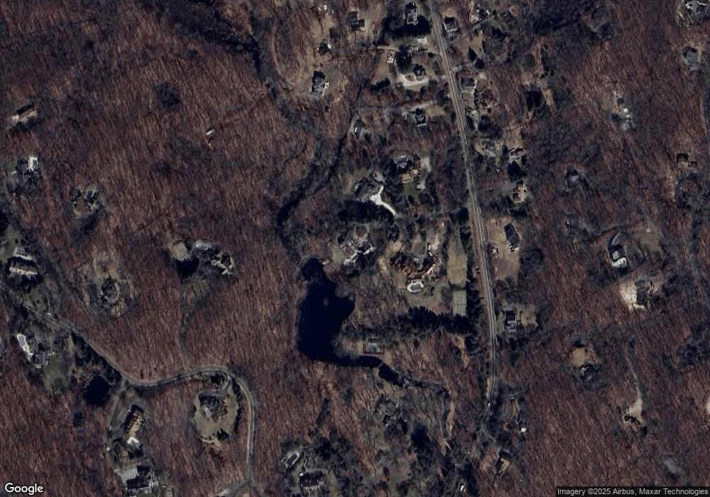
Map
Nearby Homes
- 28 Old Orchard Dr
- 27 Rogues Ridge
- 15 Mountain View Dr
- 193 Newtown Turnpike
- 76 Lords Hwy
- 326 Georgetown Rd
- 335 Georgetown Rd
- 4 Trails End Rd
- 29 Salem Rd
- 5 Walker Ln
- 30 Black Alder Ln
- 30 Coley Rd
- 225 Good Hill Rd
- 41 Calvin Rd
- 8 Hedgerow Common
- 185 Sturges Ridge Rd
- 214 Good Hill Rd
- 198 Steep Hill Rd
- 191 Steep Hill Rd
- 23 Wilson Rd
- 7 Wedges Field
- 6 Wedges Field
- 3 Wedges Field
- 264 Newtown Turnpike
- 29 Michaels Way
- 251 Newtown Turnpike
- 245 Newtown Turnpike
- 245 Newtown Turnpike Unit 1
- 10 Dillon Pass
- 262 Newtown Turnpike
- 257 Newtown Turnpike
- 263 Newtown Turnpike
- 232 Newtown Turnpike
- 259 Newtown Turnpike
- 266 Newtown Turnpike
- 268 Newtown Turnpike
- 22 Michaels Way
- 50 Michaels Way
- 56 Birch Hill Rd
- 239 Newtown Turnpike