8 Westport Dr Whiting, NJ 08759
Manchester Township NeighborhoodEstimated Value: $228,000 - $243,000
2
Beds
1
Bath
858
Sq Ft
$274/Sq Ft
Est. Value
About This Home
This home is located at 8 Westport Dr, Whiting, NJ 08759 and is currently estimated at $235,323, approximately $274 per square foot. 8 Westport Dr is a home located in Ocean County with nearby schools including Manchester Township High School.
Ownership History
Date
Name
Owned For
Owner Type
Purchase Details
Closed on
Apr 13, 2022
Sold by
Vinciguerra Anthony
Bought by
Baylis George and Baylis Linda
Current Estimated Value
Purchase Details
Closed on
Feb 28, 2007
Sold by
Meacle Anna D
Bought by
Vinciguerra Anthony
Purchase Details
Closed on
Oct 8, 2004
Sold by
Mcguire Caroline M
Bought by
Meacle Anna D
Purchase Details
Closed on
Aug 28, 1998
Sold by
Meadows Sadie
Bought by
Mcguire Caroline M
Create a Home Valuation Report for This Property
The Home Valuation Report is an in-depth analysis detailing your home's value as well as a comparison with similar homes in the area
Home Values in the Area
Average Home Value in this Area
Purchase History
| Date | Buyer | Sale Price | Title Company |
|---|---|---|---|
| Baylis George | $127,500 | Afrm Title & Abstract | |
| Baylis George | $127,500 | Afrm Title & Abstract | |
| Vinciguerra Anthony | $100,000 | Commonwealth Land Title Insu | |
| Meacle Anna D | $104,888 | None Available | |
| Mcguire Caroline M | $42,000 | -- |
Source: Public Records
Tax History Compared to Growth
Tax History
| Year | Tax Paid | Tax Assessment Tax Assessment Total Assessment is a certain percentage of the fair market value that is determined by local assessors to be the total taxable value of land and additions on the property. | Land | Improvement |
|---|---|---|---|---|
| 2025 | $2,077 | $178,400 | $56,000 | $122,400 |
| 2024 | $1,971 | $84,600 | $9,000 | $75,600 |
| 2023 | $1,874 | $84,600 | $9,000 | $75,600 |
| 2022 | $1,874 | $84,600 | $9,000 | $75,600 |
| 2021 | $1,833 | $84,600 | $9,000 | $75,600 |
| 2020 | $1,785 | $84,600 | $9,000 | $75,600 |
| 2019 | $1,444 | $56,300 | $8,500 | $47,800 |
| 2018 | $1,438 | $56,300 | $8,500 | $47,800 |
| 2017 | $1,444 | $56,300 | $8,500 | $47,800 |
| 2016 | $1,427 | $56,300 | $8,500 | $47,800 |
| 2015 | $1,400 | $56,300 | $8,500 | $47,800 |
| 2014 | $1,371 | $56,300 | $8,500 | $47,800 |
Source: Public Records
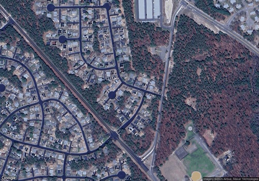
Map
Nearby Homes
- 6 N Chestnut Ave
- 18 Westport Dr Unit 71
- 24 Churchill Rd Sec 71
- 24 Churchill Rd Unit 71
- 36 Westport Dr
- 48 Westport Dr
- 48 Westport Dr Unit 71
- 27 Keene St Unit 70
- 46 Keene St
- 43 S Chestnut Ave Unit 72
- 1 Chelsea Dr
- 26 A Franklin Ln
- 11 Hartford Rd Unit 70
- 23 Brentwood St Unit 73
- 20 Falmouth Ave Unit 72
- 74 Chelsea Dr
- 69 Chelsea Dr Unit 72
- 58 St John Place Unit C
- 53 St John Place Unit B
- 2 Verbena Ct Unit B
- 10 Westport Dr
- 10 Westport Dr Unit 71
- 6 Westport Dr
- 16 N Chestnut Ave
- 10 Natick Ln
- 17 Westport Dr
- 20 N Chestnut Ave
- 11 Westport Dr
- 11 Westport Dr Unit 71
- 9 Natick Ln
- 18 N Chestnut Ave
- 14 N Chestnut Ave
- 14 N Chestnut Ave Unit 71
- 12 Westport Dr
- 19 Westport Dr
- 9 Westport Dr
- 15 Westport Dr
- 1 Natick Ln
- 1 Natick Ln Unit 71
- 13 Westport Dr