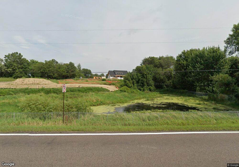
80 150th St W Shakopee, MN 55379
Estimated Value: $707,000 - $821,000
--
Bed
--
Bath
--
Sq Ft
5.2
Acres
About This Home
This home is located at 80 150th St W, Shakopee, MN 55379 and is currently estimated at $746,356. 80 150th St W is a home located in Scott County with nearby schools including Sweeney Elementary School, East Middle School, and Shakopee Senior High School.
Ownership History
Date
Name
Owned For
Owner Type
Purchase Details
Closed on
May 27, 2025
Sold by
James K Welch Family Trust and Welch Karen L
Bought by
Karen L Welch Trust
Current Estimated Value
Purchase Details
Closed on
May 16, 2022
Sold by
James K Welch Trust
Bought by
James K Welch Family Trust
Purchase Details
Closed on
Jun 4, 2021
Sold by
Welch James K and Welch Karen L
Bought by
James K Welch Trust
Purchase Details
Closed on
Dec 14, 2001
Sold by
Fournier Thomas A
Bought by
Welch James K and Welch Karen L
Purchase Details
Closed on
Mar 28, 1997
Sold by
Crooks Nothan E
Bought by
Fournier Thomas A
Create a Home Valuation Report for This Property
The Home Valuation Report is an in-depth analysis detailing your home's value as well as a comparison with similar homes in the area
Home Values in the Area
Average Home Value in this Area
Purchase History
| Date | Buyer | Sale Price | Title Company |
|---|---|---|---|
| Karen L Welch Trust | $708,800 | None Listed On Document | |
| James K Welch Family Trust | $500 | None Listed On Document | |
| James K Welch Trust | $500 | None Listed On Document | |
| Welch James K | $324,000 | -- | |
| Fournier Thomas A | $130,000 | -- |
Source: Public Records
Tax History Compared to Growth
Tax History
| Year | Tax Paid | Tax Assessment Tax Assessment Total Assessment is a certain percentage of the fair market value that is determined by local assessors to be the total taxable value of land and additions on the property. | Land | Improvement |
|---|---|---|---|---|
| 2025 | $6,662 | $694,700 | $694,700 | $0 |
| 2024 | $6,490 | $708,800 | $708,800 | $0 |
| 2023 | $6,594 | $675,700 | $675,700 | $0 |
| 2022 | $5,964 | $675,700 | $675,700 | $0 |
| 2021 | $5,916 | $518,200 | $518,200 | $0 |
| 2020 | $6,732 | $558,000 | $558,000 | $0 |
| 2019 | $4,490 | $540,000 | $540,000 | $0 |
| 2018 | $3,202 | $0 | $0 | $0 |
| 2016 | $3,264 | $0 | $0 | $0 |
Source: Public Records
Map
Nearby Homes
- 265 Mallard Dr
- 746 Peninsula Point Rd
- 1017 Vista Ridge Ln
- 981 Peninsula Point Rd
- 14020 Townline Ave
- 2657 Aspen Dr
- 13864 Stonebrooke Curve
- 13599 Stonebrooke Curve
- 1XX Stonebrooke Curve
- 3XX Stonebrooke Curve
- 2043 Eaglewood Dr
- 2624 Lakeview Dr
- 13950 Marystown Rd
- XXX 160th St
- XXX Marschall Rd
- 13400 Townline Ave
- 13720 Marystown Rd
- 2390 Jennifer Ln
- 2425 Peace Cir
- 1353 Ridge Ln
- 507 Vista Ridge Ln
- 527 Vista Ridge Ln
- 547 Vista Ridge Ln
- 544 Vista Ridge Ln
- 524 Vista Ridge Ln
- 567 Vista Ridge Ln
- 105 Mallard Dr
- 37 Mallard Dr
- 564 Vista Ridge Ln
- 14901 Ridge Ct
- 14925 Ridge Ct
- 587 Vista Ridge Ln
- 50 Mallard Dr
- 92 Mallard Dr
- 584 Vista Ridge Ln
- 140 Mallard Dr
- 14936 Ridge Ct
- 7496 Ridge Ct
- 677 Vista Ridge Ln
- 674 Vista Ridge Ln