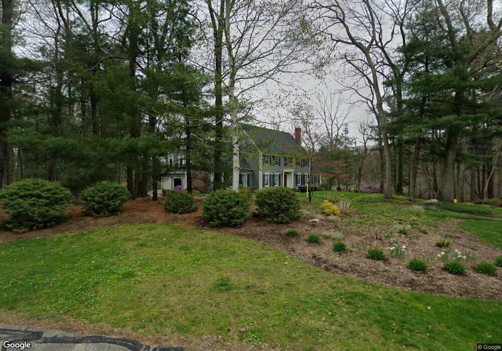
80 Alford Cir Concord, MA 01742
Estimated Value: $2,273,118 - $3,510,000
4
Beds
4
Baths
5,130
Sq Ft
$540/Sq Ft
Est. Value
About This Home
This home is located at 80 Alford Cir, Concord, MA 01742 and is currently estimated at $2,768,030, approximately $539 per square foot. 80 Alford Cir is a home located in Middlesex County with nearby schools including Willard School, Concord Middle School, and Corwin-Russell School at Broccoli Hall.
Ownership History
Date
Name
Owned For
Owner Type
Purchase Details
Closed on
Jan 22, 2004
Sold by
Gillis Lindsay M and Gillis Scott H
Bought by
Gillis Lindsay M and Gillis Scott H
Current Estimated Value
Create a Home Valuation Report for This Property
The Home Valuation Report is an in-depth analysis detailing your home's value as well as a comparison with similar homes in the area
Home Values in the Area
Average Home Value in this Area
Purchase History
| Date | Buyer | Sale Price | Title Company |
|---|---|---|---|
| Gillis Lindsay M | -- | -- |
Source: Public Records
Tax History Compared to Growth
Tax History
| Year | Tax Paid | Tax Assessment Tax Assessment Total Assessment is a certain percentage of the fair market value that is determined by local assessors to be the total taxable value of land and additions on the property. | Land | Improvement |
|---|---|---|---|---|
| 2025 | $280 | $2,112,700 | $578,400 | $1,534,300 |
| 2024 | $25,052 | $1,908,000 | $578,400 | $1,329,600 |
| 2023 | $20,450 | $1,577,900 | $525,700 | $1,052,200 |
| 2022 | $19,700 | $1,334,700 | $374,900 | $959,800 |
| 2021 | $19,960 | $1,356,000 | $409,000 | $947,000 |
| 2020 | $19,656 | $1,381,300 | $409,000 | $972,300 |
| 2019 | $18,500 | $1,303,700 | $380,300 | $923,400 |
| 2018 | $18,346 | $1,283,800 | $372,600 | $911,200 |
| 2017 | $17,519 | $1,245,100 | $355,000 | $890,100 |
| 2016 | $18,223 | $1,309,100 | $395,000 | $914,100 |
| 2015 | $17,184 | $1,202,500 | $365,900 | $836,600 |
Source: Public Records
Map
Nearby Homes
- 37 Wolf Pine Way
- 497 Old Road to 9 Acre Corner
- 40 Rookery Ln Unit 5
- 72 Rookery Ln Unit 3
- 24 Rookery Ln Unit 6
- 56 Rookery Ln Unit 4
- 121 White Pond Way Unit 121
- 12 S Meadow Ridge Unit 12
- 12 S Meadow Ridge
- 401 Emery Ln Unit 104
- 114 Upland Rd
- 111 Central St
- 1053 Main St
- 24 Concord Greene Unit 7
- 70 McCallar Ln
- 29 Concord Greene Unit 3
- 16 Concord Greene Unit 5
- 42 Dakin Rd
- 102 Highland St
- 236 Fairhaven Rd
- 31 Alford Cir
- 26 Alford Cir
- 70 Alford Cir
- 27 Alford Cir
- 66 Alford Cir
- 145 Mattison Dr
- 98 Peter Bulkeley Rd
- 195 Mattison Dr
- 156 Mattison Dr
- 14B Mattison Dr
- 200 Mattison Dr
- 121 Mattison Dr
- 91 Peter Bulkeley Rd
- 86 Peter Bulkeley Rd
- 203 Mattison Dr
- 205 Mattison Dr
- 105 Mattison Dr
- 70 Peter Bulkeley Rd
- 63 Peter Bulkeley Rd
- 240 Mattison Dr