80 Kings Point Rd West Bath, ME 04530
Estimated Value: $541,000 - $652,844
2
Beds
1
Bath
1,268
Sq Ft
$482/Sq Ft
Est. Value
About This Home
This home is located at 80 Kings Point Rd, West Bath, ME 04530 and is currently estimated at $610,961, approximately $481 per square foot. 80 Kings Point Rd is a home located in Sagadahoc County with nearby schools including Morse High School.
Ownership History
Date
Name
Owned For
Owner Type
Purchase Details
Closed on
Jul 14, 2008
Sold by
Mayo Valerie A
Bought by
Maclean Stephen M
Current Estimated Value
Home Financials for this Owner
Home Financials are based on the most recent Mortgage that was taken out on this home.
Original Mortgage
$193,500
Outstanding Balance
$125,212
Interest Rate
6.13%
Mortgage Type
Purchase Money Mortgage
Estimated Equity
$485,749
Create a Home Valuation Report for This Property
The Home Valuation Report is an in-depth analysis detailing your home's value as well as a comparison with similar homes in the area
Home Values in the Area
Average Home Value in this Area
Purchase History
| Date | Buyer | Sale Price | Title Company |
|---|---|---|---|
| Maclean Stephen M | -- | -- |
Source: Public Records
Mortgage History
| Date | Status | Borrower | Loan Amount |
|---|---|---|---|
| Open | Maclean Stephen M | $193,500 |
Source: Public Records
Tax History Compared to Growth
Tax History
| Year | Tax Paid | Tax Assessment Tax Assessment Total Assessment is a certain percentage of the fair market value that is determined by local assessors to be the total taxable value of land and additions on the property. | Land | Improvement |
|---|---|---|---|---|
| 2024 | $4,857 | $592,300 | $437,300 | $155,000 |
| 2023 | $4,028 | $592,300 | $437,300 | $155,000 |
| 2022 | $3,562 | $332,900 | $248,700 | $84,200 |
| 2021 | $3,046 | $290,100 | $205,900 | $84,200 |
| 2020 | $3,046 | $290,100 | $205,900 | $84,200 |
| 2019 | $3,046 | $290,100 | $205,900 | $84,200 |
| 2018 | $3,220 | $290,100 | $205,900 | $84,200 |
| 2017 | $3,249 | $290,100 | $205,900 | $84,200 |
| 2016 | $2,959 | $290,100 | $205,900 | $84,200 |
| 2015 | $3,017 | $290,100 | $205,900 | $84,200 |
| 2014 | $2,959 | $290,100 | $205,900 | $84,200 |
| 2013 | $2,945 | $290,100 | $205,900 | $84,200 |
Source: Public Records
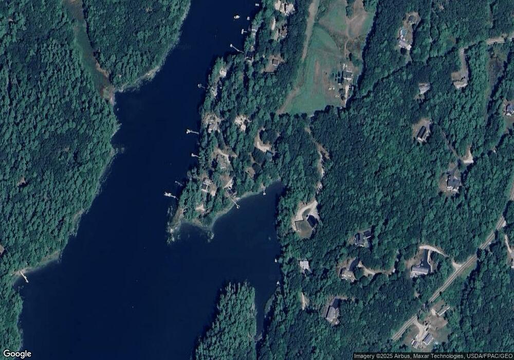
Map
Nearby Homes
- Lot 27 Howards Point Ln
- 60 Rosedale Rd
- Lot 18 Beacon Dr
- Lot 11 Beacon Dr
- Lot 23 Beacon Dr
- 47 Cluf Bay Rd
- 19 Ward Cir
- 38 Ward Cir
- 11 Beacon Dr
- 31 Beacon Dr
- 106 Rita Way
- 45 Harding Rd
- 6 Balsam Ave
- 51 & 53 Rock Haven Dr
- 2 Chickadee Cir Unit 2
- 42 Guadalcanal St Unit 42
- 69 Long St
- 15 Pond Dr
- 11 Neptune Dr
- 15 Neptune Dr
- 84 Kings Point Rd
- 66 Kings Point Rd
- 81 Kings Point Rd
- 75 Kings Point Rd
- 83 Kings Point Rd
- 85 Kings Point Rd
- 92 Kings Point Rd
- 73 Kings Point Rd
- 16 Shunpike Ln
- 0 Rosedale Rd Unit 522609
- 0 Rosedale Rd Unit 776104
- 0 Rosedale Rd Unit 929321
- 0 Rosedale Rd Unit 978736
- 0 Rosedale Rd Unit 1012180
- 91 Kings Point Rd
- 69 & 71 Kings Point Rd
- 71 Kings Point Rd
- 69 Kings Point Rd
- 14 Rosedale Rd
- 55 Wright Dr