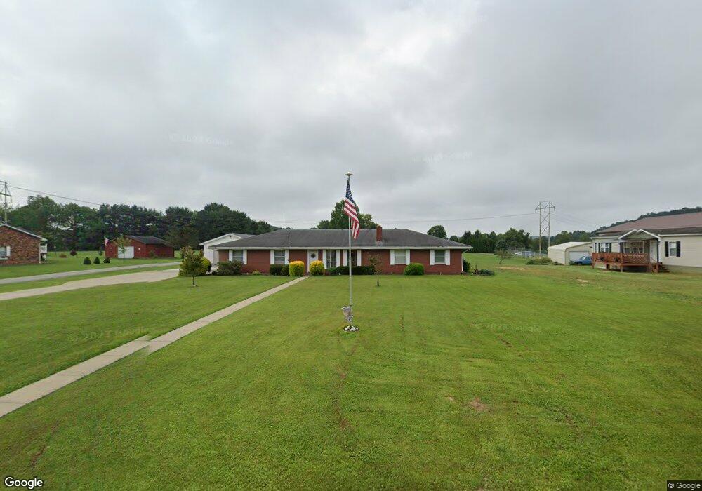
80 Mill Branch Rd Belpre, OH 45714
Estimated Value: $216,000 - $313,000
3
Beds
2
Baths
1,860
Sq Ft
$137/Sq Ft
Est. Value
About This Home
This home is located at 80 Mill Branch Rd, Belpre, OH 45714 and is currently estimated at $254,399, approximately $136 per square foot. 80 Mill Branch Rd is a home located in Washington County with nearby schools including Belpre Elementary School and Belpre High School.
Ownership History
Date
Name
Owned For
Owner Type
Purchase Details
Closed on
Jan 20, 2010
Sold by
Deuley Robert G
Bought by
Deuley Theda A
Current Estimated Value
Purchase Details
Closed on
Oct 8, 2008
Sold by
Beverly Lyle G and June Beverly M
Bought by
Deuley Robert G and Deuley Theda A
Home Financials for this Owner
Home Financials are based on the most recent Mortgage that was taken out on this home.
Original Mortgage
$118,000
Interest Rate
5.96%
Mortgage Type
Purchase Money Mortgage
Purchase Details
Closed on
Oct 12, 1999
Bought by
Deuley Robert G and Deuley Theda
Purchase Details
Closed on
Aug 17, 1994
Bought by
Stone Connie
Purchase Details
Closed on
Jun 17, 1986
Create a Home Valuation Report for This Property
The Home Valuation Report is an in-depth analysis detailing your home's value as well as a comparison with similar homes in the area
Home Values in the Area
Average Home Value in this Area
Purchase History
| Date | Buyer | Sale Price | Title Company |
|---|---|---|---|
| Deuley Theda A | -- | Attorney | |
| Deuley Robert G | $150,000 | Attorney | |
| Deuley Robert G | $93,500 | -- | |
| Deuley Robert G | $93,500 | -- | |
| Stone Connie | $78,800 | -- | |
| Stone Connie | $78,800 | -- | |
| -- | -- | -- | |
| -- | -- | -- |
Source: Public Records
Mortgage History
| Date | Status | Borrower | Loan Amount |
|---|---|---|---|
| Closed | Deuley Robert G | $118,000 |
Source: Public Records
Tax History
| Year | Tax Paid | Tax Assessment Tax Assessment Total Assessment is a certain percentage of the fair market value that is determined by local assessors to be the total taxable value of land and additions on the property. | Land | Improvement |
|---|---|---|---|---|
| 2024 | $3,353 | $64,790 | $6,330 | $58,460 |
| 2023 | $2,190 | $64,790 | $6,330 | $58,460 |
| 2022 | $2,219 | $64,790 | $6,330 | $58,460 |
| 2021 | $1,858 | $52,790 | $4,470 | $48,320 |
| 2020 | $1,750 | $52,790 | $4,470 | $48,320 |
| 2019 | $1,743 | $52,790 | $4,470 | $48,320 |
| 2018 | $1,685 | $49,900 | $3,720 | $46,180 |
| 2017 | $1,355 | $49,900 | $3,720 | $46,180 |
| 2016 | $2,503 | $49,900 | $3,720 | $46,180 |
| 2015 | $1,137 | $43,060 | $3,540 | $39,520 |
| 2014 | $2,140 | $42,600 | $3,540 | $39,060 |
| 2013 | $853 | $42,600 | $3,540 | $39,060 |
Source: Public Records
Map
Nearby Homes
- 234 Woodlawn Ave
- 80 Hannah Place Rd
- 240 Hollywood Dr
- 155 Ridgewood Blvd
- 631 Short Brook Rd
- 56 Carson Ln
- 120 Carson Ln
- 0 Carson Ln
- 1556 Mcgill Rd
- 195 N Bruce St
- 111 T322
- 2526 Valley View Dr
- 2811 Washington Blvd
- 1103 Farson St
- 0 T1309
- 265 James Ln
- 2853 Lake Washington Rd
- 82 Highland Lake Cir
- 232 Mcgill Rd
- 2313 Washington Blvd
- 60 Mill Branch Rd
- 98 Mill Branch Rd
- 77 Mill Branch Rd
- 128 Mill Branch Rd
- 128 Mill Branch Rd
- 47 Mill Branch Rd
- 97 Mill Branch Rd
- 20 Mill Branch Rd
- 93 Mill Branch Rd
- 153 Mill Branch Rd
- 250 T289
- 86 Mill Branch Rd
- 1962 State Route 339
- 1641 Drag Strip Rd
- 1962 Ohio 339
- 1764 State Route 339
- 1980 State Route 339
- 1980 Ohio 339
- 1776 State Route 339
- 1746 State Route 339
Your Personal Tour Guide
Ask me questions while you tour the home.