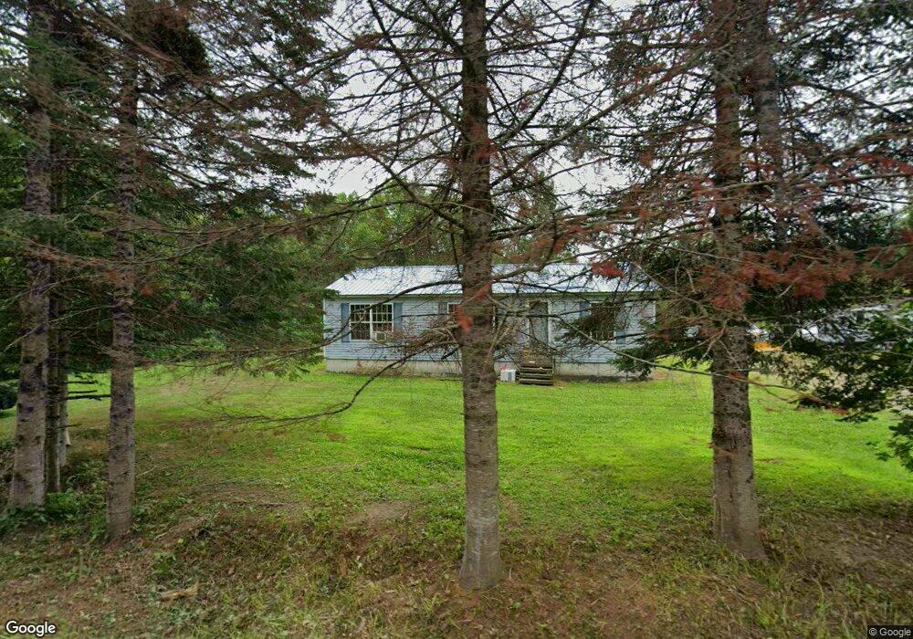
80 Wyman Rd Palmyra, ME 04965
Estimated Value: $121,000 - $319,000
Studio
--
Bath
--
Sq Ft
1.02
Acres
About This Home
This home is located at 80 Wyman Rd, Palmyra, ME 04965 and is currently estimated at $194,666. 80 Wyman Rd is a home with nearby schools including Hartland Consolidated School, Somerset Elementary School, and Nokomis Regional Middle School/High School.
Ownership History
Date
Name
Owned For
Owner Type
Purchase Details
Closed on
Mar 31, 2017
Sold by
Call Dale O and Watson Nancy I
Bought by
Call Dale O
Current Estimated Value
Purchase Details
Closed on
Mar 14, 2006
Sold by
Shaw Robert A and Shaw Wealthy O
Bought by
Call Dale O and Call Laurie A
Home Financials for this Owner
Home Financials are based on the most recent Mortgage that was taken out on this home.
Original Mortgage
$121,800
Outstanding Balance
$67,974
Interest Rate
6.15%
Mortgage Type
FHA
Estimated Equity
$126,692
Create a Home Valuation Report for This Property
The Home Valuation Report is an in-depth analysis detailing your home's value as well as a comparison with similar homes in the area
Purchase History
| Date | Buyer | Sale Price | Title Company |
|---|---|---|---|
| Call Dale O | -- | -- | |
| Call Dale O | -- | -- |
Source: Public Records
Mortgage History
| Date | Status | Borrower | Loan Amount |
|---|---|---|---|
| Open | Call Dale O | $121,800 |
Source: Public Records
Tax History
| Year | Tax Paid | Tax Assessment Tax Assessment Total Assessment is a certain percentage of the fair market value that is determined by local assessors to be the total taxable value of land and additions on the property. | Land | Improvement |
|---|---|---|---|---|
| 2025 | $1,511 | $152,670 | $33,620 | $119,050 |
| 2024 | $1,400 | $127,230 | $28,020 | $99,210 |
| 2023 | $1,400 | $127,230 | $28,020 | $99,210 |
| 2022 | $1,244 | $73,200 | $19,600 | $53,600 |
| 2021 | $1,299 | $73,200 | $19,600 | $53,600 |
| 2020 | $1,318 | $73,200 | $19,600 | $53,600 |
| 2019 | $1,288 | $73,200 | $19,600 | $53,600 |
| 2018 | $1,316 | $70,200 | $16,600 | $53,600 |
| 2017 | $1,264 | $70,200 | $16,600 | $53,600 |
| 2016 | $1,219 | $68,700 | $15,100 | $53,600 |
| 2015 | $1,140 | $68,700 | $15,100 | $53,600 |
| 2012 | $1,031 | $68,700 | $15,100 | $53,600 |
Source: Public Records
Map
Nearby Homes
- 630C Warren Hill Rd
- 630B Warren Hill Rd
- 67 Tacconet Rd
- 59 Camp Rd
- 700 Warren Hill Rd
- M5, L87-1 Main St
- 47 Higgins Rd
- M 14 L 09 Camp Rd
- M2 L21-2 S Ridge Rd
- M1 L36-3 Main St
- 296 Lang Hill Rd
- 154 Main St
- 1 Gleneagle Ct Unit 1
- 71 Pittsfield Ave
- 49 Main St
- 83 Commercial St
- 26 Mill St
- 119 Commercial St
- 37 North St
- 50 Pleasant St
Your Personal Tour Guide
Ask me questions while you tour the home.