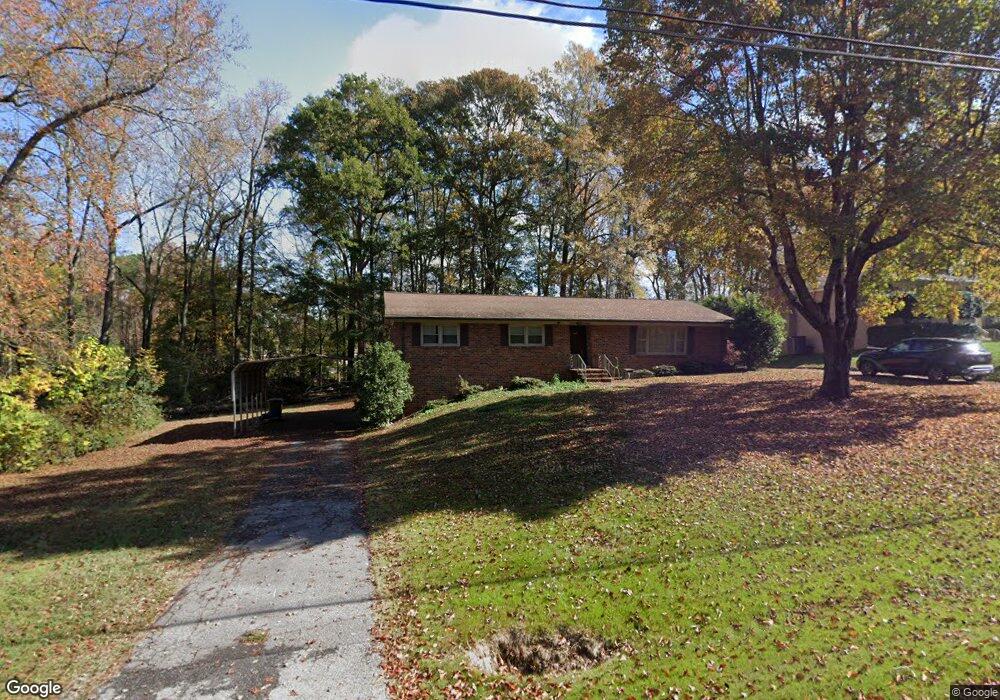
800 Central Ave Mauldin, SC 29662
Estimated Value: $291,000 - $312,000
3
Beds
2
Baths
2,740
Sq Ft
$111/Sq Ft
Est. Value
About This Home
This home is located at 800 Central Ave, Mauldin, SC 29662 and is currently estimated at $304,338, approximately $111 per square foot. 800 Central Ave is a home located in Greenville County with nearby schools including Bethel Elementary School, Mauldin Middle School, and Mauldin High School.
Ownership History
Date
Name
Owned For
Owner Type
Purchase Details
Closed on
Feb 21, 2019
Sold by
Spikes Jessica
Bought by
Patrick Spikes Jessica and Patrick Richard
Current Estimated Value
Purchase Details
Closed on
Sep 10, 2015
Sold by
Jones Meghan L
Bought by
Spikes Jessica
Home Financials for this Owner
Home Financials are based on the most recent Mortgage that was taken out on this home.
Original Mortgage
$145,319
Outstanding Balance
$114,796
Interest Rate
4.4%
Mortgage Type
FHA
Estimated Equity
$189,542
Purchase Details
Closed on
Aug 27, 2009
Sold by
Blanton Buford W and Blanton Gail M
Bought by
Jones Meghan L
Home Financials for this Owner
Home Financials are based on the most recent Mortgage that was taken out on this home.
Original Mortgage
$116,000
Interest Rate
5.11%
Mortgage Type
New Conventional
Create a Home Valuation Report for This Property
The Home Valuation Report is an in-depth analysis detailing your home's value as well as a comparison with similar homes in the area
Home Values in the Area
Average Home Value in this Area
Purchase History
| Date | Buyer | Sale Price | Title Company |
|---|---|---|---|
| Patrick Spikes Jessica | -- | None Available | |
| Spikes Jessica | $148,000 | -- | |
| Jones Meghan L | $145,000 | -- |
Source: Public Records
Mortgage History
| Date | Status | Borrower | Loan Amount |
|---|---|---|---|
| Open | Spikes Jessica | $145,319 | |
| Previous Owner | Jones Meghan L | $116,000 |
Source: Public Records
Tax History
| Year | Tax Paid | Tax Assessment Tax Assessment Total Assessment is a certain percentage of the fair market value that is determined by local assessors to be the total taxable value of land and additions on the property. | Land | Improvement |
|---|---|---|---|---|
| 2025 | $1,105 | $6,640 | $2,100 | $4,540 |
| 2024 | $1,105 | $5,780 | $1,080 | $4,700 |
| 2023 | $1,061 | $5,780 | $1,080 | $4,700 |
| 2022 | $1,000 | $5,780 | $1,080 | $4,700 |
| 2021 | $1,000 | $5,780 | $1,080 | $4,700 |
| 2020 | $1,046 | $5,710 | $820 | $4,890 |
| 2019 | $1,047 | $5,710 | $820 | $4,890 |
| 2018 | $1,044 | $5,710 | $820 | $4,890 |
| 2017 | $1,044 | $5,710 | $820 | $4,890 |
| 2016 | $1,003 | $142,740 | $20,500 | $122,240 |
| 2015 | $822 | $116,280 | $20,500 | $95,780 |
| 2014 | $885 | $126,320 | $20,500 | $105,820 |
Source: Public Records
Map
Nearby Homes
- 702 Central Ave
- 100 Fernande Dr
- 116 Baldwin Cir
- 110 Cambria Ct
- 516 Bethel Dr
- 2016 Spring Wood Dr Unit 2016
- 227 E Butler Rd
- 9 Bethel Oaks Ct
- 113 Heather Ln
- 418 Erbosco Dr
- 400 Hill Ln
- 102 Greenapple Way
- 4 Connaught Ct
- 145 Oak Park Dr
- 44 Connaught Ct
- 61 Connaught Ct
- 105 Mauldin Cir
- 1816 Bethel Rd
- 242 Santorini Way
- 254 Santorini Way
Your Personal Tour Guide
Ask me questions while you tour the home.