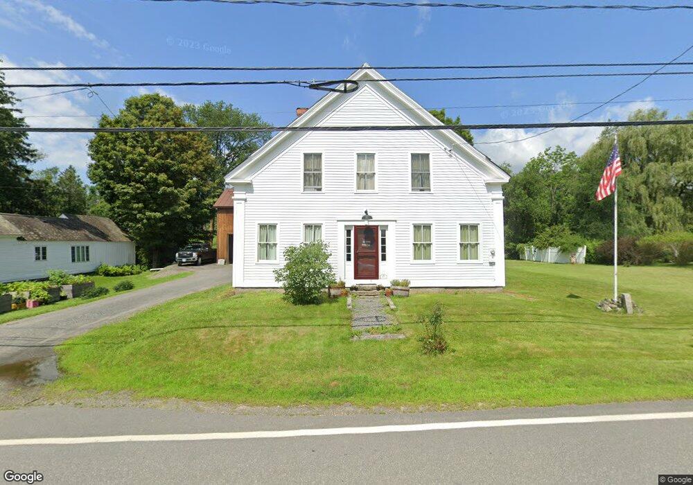
800 Route 63 Westmoreland, NH 03467
Estimated Value: $479,000 - $870,000
3
Beds
2
Baths
2,998
Sq Ft
$233/Sq Ft
Est. Value
About This Home
This home is located at 800 Route 63, Westmoreland, NH 03467 and is currently estimated at $698,373, approximately $232 per square foot. 800 Route 63 is a home with nearby schools including Mayland Early College High School, Keene High School, and Pioneer Junior Academy.
Ownership History
Date
Name
Owned For
Owner Type
Purchase Details
Closed on
Apr 9, 1998
Sold by
Acerno Theresa M
Bought by
Gitchell Graham J
Current Estimated Value
Home Financials for this Owner
Home Financials are based on the most recent Mortgage that was taken out on this home.
Original Mortgage
$85,000
Outstanding Balance
$15,966
Interest Rate
6.98%
Mortgage Type
Purchase Money Mortgage
Estimated Equity
$682,407
Create a Home Valuation Report for This Property
The Home Valuation Report is an in-depth analysis detailing your home's value as well as a comparison with similar homes in the area
Home Values in the Area
Average Home Value in this Area
Purchase History
| Date | Buyer | Sale Price | Title Company |
|---|---|---|---|
| Gitchell Graham J | $115,000 | -- |
Source: Public Records
Mortgage History
| Date | Status | Borrower | Loan Amount |
|---|---|---|---|
| Open | Gitchell Graham J | $25,000 | |
| Open | Gitchell Graham J | $85,000 |
Source: Public Records
Tax History Compared to Growth
Tax History
| Year | Tax Paid | Tax Assessment Tax Assessment Total Assessment is a certain percentage of the fair market value that is determined by local assessors to be the total taxable value of land and additions on the property. | Land | Improvement |
|---|---|---|---|---|
| 2024 | $7,898 | $342,500 | $75,200 | $267,300 |
| 2023 | $7,292 | $342,500 | $75,200 | $267,300 |
| 2022 | $7,038 | $342,500 | $75,200 | $267,300 |
| 2021 | $6,522 | $319,700 | $75,200 | $244,500 |
| 2020 | $6,878 | $270,800 | $66,600 | $204,200 |
| 2019 | $7,271 | $270,800 | $66,600 | $204,200 |
| 2018 | $6,900 | $270,800 | $66,600 | $204,200 |
| 2017 | $6,770 | $270,800 | $66,600 | $204,200 |
| 2016 | $6,724 | $270,800 | $66,600 | $204,200 |
| 2015 | $5,038 | $231,000 | $70,600 | $160,400 |
| 2014 | $5,031 | $231,000 | $70,600 | $160,400 |
| 2012 | $4,881 | $231,000 | $70,600 | $160,400 |
Source: Public Records
Map
Nearby Homes
- 000 S Village Rd Unit 13
- 601 River Rd S
- 14 Hurricane Rd
- 00 S Pine Banks Rd
- 43 Westmoreland Rd
- 36 Canal St
- 563 N Shore Rd
- 85 Foley Rd
- 48 Church St
- 1123 River Rd
- 212 S Pine Banks Rd
- 119 Main St
- 13 Kimball Hill
- 40 E Putney Brook Rd
- 62 Westminster Rd
- 00 E Putney Brook Rd
- 4 Signal Pine Rd
- 37 Fred Houghton Rd
- 95 Blackjack Crossing
- 123 Poocham Rd