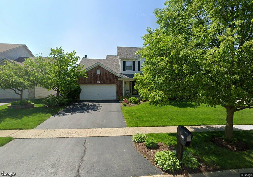
801 Columbus Dr Oswego, IL 60543
Northwest Oswego NeighborhoodEstimated Value: $451,000 - $490,000
4
Beds
3
Baths
3,132
Sq Ft
$150/Sq Ft
Est. Value
About This Home
This home is located at 801 Columbus Dr, Oswego, IL 60543 and is currently estimated at $470,268, approximately $150 per square foot. 801 Columbus Dr is a home located in Kendall County with nearby schools including Fox Chase Elementary School, Traughber Junior High School, and Oswego High School.
Ownership History
Date
Name
Owned For
Owner Type
Purchase Details
Closed on
Jan 8, 2024
Sold by
Peters John S and Peters Joann M
Bought by
Jj Sa Ga Living Trust
Current Estimated Value
Purchase Details
Closed on
Dec 30, 2005
Sold by
Richard Smykal Inc
Bought by
Peters John S and Peters Joann M
Home Financials for this Owner
Home Financials are based on the most recent Mortgage that was taken out on this home.
Original Mortgage
$255,920
Interest Rate
6.4%
Mortgage Type
Fannie Mae Freddie Mac
Create a Home Valuation Report for This Property
The Home Valuation Report is an in-depth analysis detailing your home's value as well as a comparison with similar homes in the area
Home Values in the Area
Average Home Value in this Area
Purchase History
| Date | Buyer | Sale Price | Title Company |
|---|---|---|---|
| Jj Sa Ga Living Trust | -- | None Listed On Document | |
| Peters John S | $320,000 | Chicago Title Insurance Co |
Source: Public Records
Mortgage History
| Date | Status | Borrower | Loan Amount |
|---|---|---|---|
| Previous Owner | Peters John S | $255,920 |
Source: Public Records
Tax History Compared to Growth
Tax History
| Year | Tax Paid | Tax Assessment Tax Assessment Total Assessment is a certain percentage of the fair market value that is determined by local assessors to be the total taxable value of land and additions on the property. | Land | Improvement |
|---|---|---|---|---|
| 2024 | $10,346 | $134,560 | $25,312 | $109,248 |
| 2023 | $9,323 | $119,080 | $22,400 | $96,680 |
| 2022 | $9,323 | $109,247 | $20,550 | $88,697 |
| 2021 | $9,267 | $105,046 | $19,760 | $85,286 |
| 2020 | $8,977 | $101,006 | $19,000 | $82,006 |
| 2019 | $9,280 | $102,680 | $19,000 | $83,680 |
| 2018 | $9,075 | $99,820 | $25,664 | $74,156 |
| 2017 | $8,773 | $91,578 | $23,545 | $68,033 |
| 2016 | $8,624 | $88,910 | $22,859 | $66,051 |
| 2015 | $8,495 | $83,877 | $21,565 | $62,312 |
| 2014 | -- | $79,129 | $20,344 | $58,785 |
| 2013 | -- | $79,928 | $20,549 | $59,379 |
Source: Public Records
Map
Nearby Homes
- 173 Dolores St
- 102 Mary St
- 409 Fawn Dr
- 435 Fawn Dr
- 2100 Light Rd Unit 109
- 602 Clearwater Ct Unit 2
- 238 Willowwood Dr
- 338 Millstream Ln Unit 1
- 608 Clearwater Ct
- 1721 State Route 31
- 411 Bayberry Dr
- 7.43 Acres Vacant La State Route 31
- 11-13 W Anchor Rd
- 403 Lake Ct
- 5.43 B-3 Commercial State Route 31
- 514 Bentson St
- 505 Parkland Ct
- 125 Presidential Blvd Unit 3248
- 133 River Mist Dr Unit 3
- 2110 State Route 31
- 803 Columbus Dr Unit 2
- 641 Manhattan Cir
- 805 Columbus Dr Unit 2
- 640 Manhattan Cir
- 635 Manhattan Cir Unit 2
- 643 Manhattan Cir
- 638 Manhattan Cir
- 642 Manhattan Cir
- 636 Manhattan Cir
- 807 Columbus Dr
- 644 Manhattan Cir
- 645 Manhattan Cir Unit 2
- 806 Columbus Dr
- 634 Manhattan Cir Unit 2
- 633 Manhattan Cir
- 646 Manhattan Cir
- 189 Dolores St
- 187 Dolores St
- 632 Manhattan Cir Unit 2
- 809 Columbus Dr