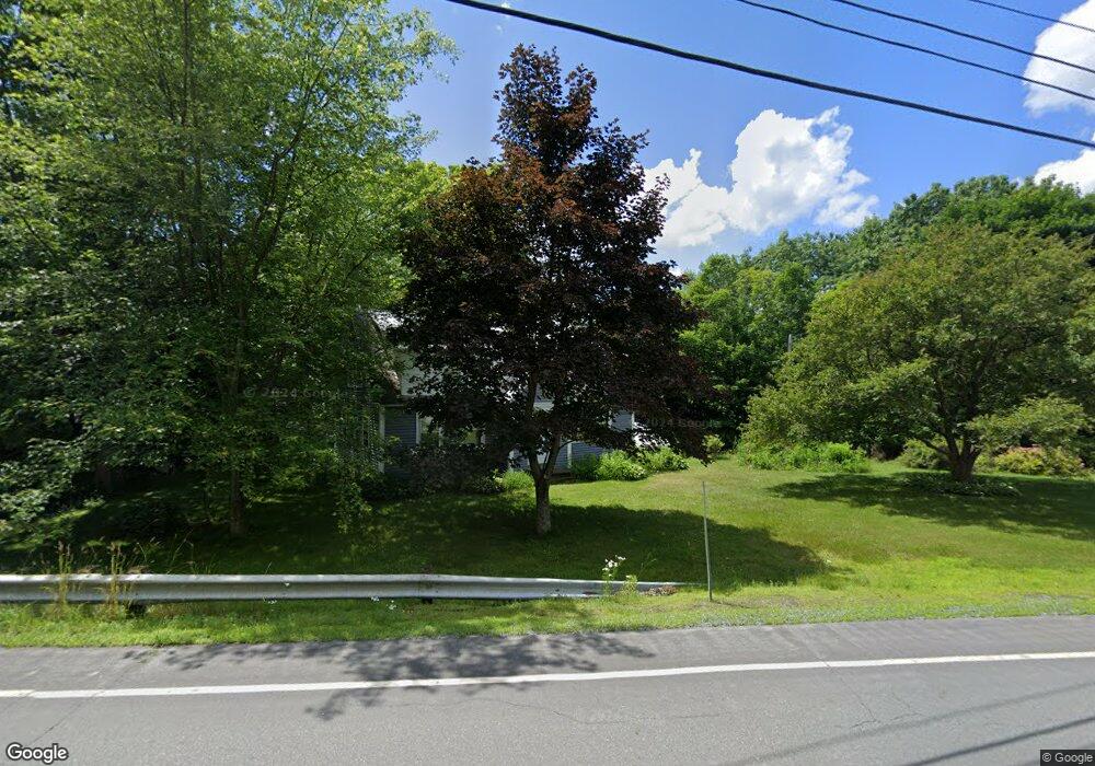
801 Littleton Rd Monroe, NH 03771
Estimated Value: $358,192 - $440,000
4
Beds
1
Bath
2,033
Sq Ft
$194/Sq Ft
Est. Value
About This Home
This home is located at 801 Littleton Rd, Monroe, NH 03771 and is currently estimated at $395,048, approximately $194 per square foot. 801 Littleton Rd is a home with nearby schools including Monroe Consolidated School.
Ownership History
Date
Name
Owned For
Owner Type
Purchase Details
Closed on
Nov 7, 2018
Sold by
Lang John G and Lang Sandra A
Bought by
Lang Ft
Current Estimated Value
Purchase Details
Closed on
Sep 20, 2016
Sold by
Est Munson Marlene B and Munson Deborah J
Bought by
Lang John G and Lang Sandra A
Home Financials for this Owner
Home Financials are based on the most recent Mortgage that was taken out on this home.
Original Mortgage
$60,000
Interest Rate
3.43%
Mortgage Type
Purchase Money Mortgage
Create a Home Valuation Report for This Property
The Home Valuation Report is an in-depth analysis detailing your home's value as well as a comparison with similar homes in the area
Home Values in the Area
Average Home Value in this Area
Purchase History
| Date | Buyer | Sale Price | Title Company |
|---|---|---|---|
| Lang Ft | -- | -- | |
| Lang John G | $159,400 | -- |
Source: Public Records
Mortgage History
| Date | Status | Borrower | Loan Amount |
|---|---|---|---|
| Previous Owner | Lang John G | $60,000 |
Source: Public Records
Tax History Compared to Growth
Tax History
| Year | Tax Paid | Tax Assessment Tax Assessment Total Assessment is a certain percentage of the fair market value that is determined by local assessors to be the total taxable value of land and additions on the property. | Land | Improvement |
|---|---|---|---|---|
| 2024 | $3,270 | $306,800 | $66,700 | $240,100 |
| 2023 | $2,985 | $306,800 | $66,700 | $240,100 |
| 2022 | $2,172 | $178,200 | $56,900 | $121,300 |
| 2020 | $2,135 | $178,200 | $56,900 | $121,300 |
| 2019 | $2,021 | $178,200 | $56,900 | $121,300 |
| 2018 | $1,905 | $178,200 | $56,900 | $121,300 |
| 2016 | $1,803 | $159,000 | $47,300 | $111,700 |
| 2015 | $1,677 | $159,400 | $47,300 | $112,100 |
| 2014 | $1,911 | $159,400 | $47,300 | $112,100 |
| 2012 | $2,335 | $206,100 | $62,200 | $143,900 |
Source: Public Records
Map
Nearby Homes
- 1291 Littleton Rd
- 342 Grange Hall Rd
- 433 Grange Hall Rd
- 286 Carter St
- 88 Mill Hill
- 391 Bimson Dr
- 1573 Us Route 5 S
- 4615 U S 5
- 4706 Us Route 5 S
- 396 Nelson Rd
- 00 Coppermine Rd Unit 59
- 630 Plains Rd
- 00 Woodsville Rd
- 663 Ferguson Rd
- 201 Under the Mountain Rd
- 0 Denio Rd Unit 5059200
- 0 Denio Rd Unit 5059211
- 0 Denio Rd Unit 5059215
- 0 Denio Rd Unit 24587948
- 0 Denio Rd
- 842 Littleton Rd
- 706 Littleton Rd
- 935 Littleton Rd
- 647 Littleton Rd
- 676 Littleton Rd
- 41 Barnet Rd
- 75 Barnet Rd
- 1031 Littleton Rd
- 4149 U S 5
- 1050 Littleton Rd
- 2888 Us Route 5 S
- 2742 Us Route 5 S
- 1068 Littleton Rd
- 1069 Littleton Rd
- 523 Littleton Rd
- 3036 U S 5
- 3036 Us Route 5 S
- 3034 Us Route 5 S
- 0 Bimson Dr
- 3246 Us Route 5 S