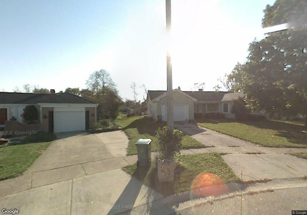
801 Melrose Ct McHenry, IL 60050
Estimated Value: $269,066 - $312,000
--
Bed
2
Baths
1,343
Sq Ft
$217/Sq Ft
Est. Value
About This Home
This home is located at 801 Melrose Ct, McHenry, IL 60050 and is currently estimated at $291,767, approximately $217 per square foot. 801 Melrose Ct is a home located in McHenry County with nearby schools including Riverwood Elementary School, Parkland School, and McHenry Community High School - Upper Campus.
Ownership History
Date
Name
Owned For
Owner Type
Purchase Details
Closed on
Jan 26, 2018
Sold by
Vanvancleave Cynthia Van and Heimosth Cynthia B
Bought by
Heimsoth Cynthia B and Heimsoth Peter N
Current Estimated Value
Home Financials for this Owner
Home Financials are based on the most recent Mortgage that was taken out on this home.
Original Mortgage
$83,000
Outstanding Balance
$58,971
Interest Rate
3.99%
Mortgage Type
New Conventional
Estimated Equity
$232,796
Purchase Details
Closed on
Mar 21, 1997
Sold by
Vancleave Cynthia and Vancleave Donald E
Bought by
Vancleave Cynthia
Create a Home Valuation Report for This Property
The Home Valuation Report is an in-depth analysis detailing your home's value as well as a comparison with similar homes in the area
Home Values in the Area
Average Home Value in this Area
Purchase History
| Date | Buyer | Sale Price | Title Company |
|---|---|---|---|
| Heimsoth Cynthia B | -- | Fidelity National Title | |
| Vancleave Cynthia | -- | -- |
Source: Public Records
Mortgage History
| Date | Status | Borrower | Loan Amount |
|---|---|---|---|
| Open | Heimsoth Cynthia B | $83,000 |
Source: Public Records
Tax History Compared to Growth
Tax History
| Year | Tax Paid | Tax Assessment Tax Assessment Total Assessment is a certain percentage of the fair market value that is determined by local assessors to be the total taxable value of land and additions on the property. | Land | Improvement |
|---|---|---|---|---|
| 2024 | $6,057 | $79,596 | $17,381 | $62,215 |
| 2023 | $5,848 | $71,310 | $15,572 | $55,738 |
| 2022 | $5,715 | $66,157 | $14,447 | $51,710 |
| 2021 | $5,441 | $61,610 | $13,454 | $48,156 |
| 2020 | $5,253 | $59,042 | $12,893 | $46,149 |
| 2019 | $5,387 | $58,238 | $15,520 | $42,718 |
| 2018 | $5,074 | $50,278 | $14,816 | $35,462 |
| 2017 | $4,862 | $47,187 | $13,905 | $33,282 |
| 2016 | $4,685 | $44,100 | $12,995 | $31,105 |
| 2013 | -- | $43,419 | $12,795 | $30,624 |
Source: Public Records
Map
Nearby Homes
- 4913 W Oakwood Dr Unit B
- 607 Silbury Ct
- 915 Royal Dr Unit 2
- 4618 W Northfox Ln Unit 6
- 5011 Sandburg Dr
- 4602 W Northfox Ln Unit 7
- 205 Augusta Dr
- 4718 W Cumberland Cir
- 301 N Huntington Dr Unit 3
- 1320 Meadow Ln
- 4604 Sussex Dr
- 4621 Bonner Dr
- 5114 W Malibu Ct
- 4507 Ponca St
- 207 N Creekside Trail Unit B
- 5101 W Elm St
- 1246 Draper Rd
- 217 Barnwood Trail
- 615 Cartwright Trail
- 4517 Home Ave
- 803 Melrose Ct
- 5012 W Oakwood Dr
- 5014 W Oakwood Dr
- 802 Melrose Ct
- 5010 W Oakwood Dr
- 5016 W Oakwood Dr
- 805 Melrose Ct
- 804 N Oakwood Dr
- 5008 W Oakwood Dr
- 802 N Oakwood Dr
- 5018 W Oakwood Dr
- 806 N Oakwood Dr
- 804 Melrose Ct
- 9999 W Oakwood Dr
- 806 Melrose Ct
- 809 Melrose Ct
- 808 N Oakwood Dr
- 808 Melrose Ct
- 5006 W Oakwood Dr
- 5004 W Oakwood Dr