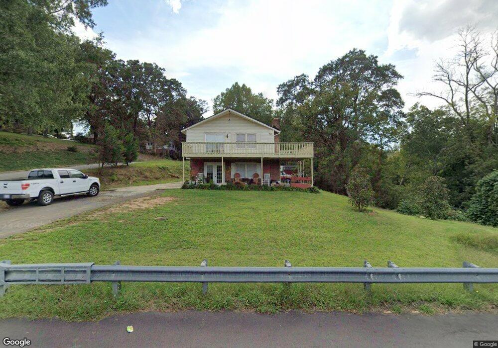
801 N Grove St Unit A & B Lincolnton, NC 28092
Estimated Value: $243,000 - $296,000
3
Beds
2
Baths
1,407
Sq Ft
$188/Sq Ft
Est. Value
About This Home
This home is located at 801 N Grove St Unit A & B, Lincolnton, NC 28092 and is currently estimated at $264,894, approximately $188 per square foot. 801 N Grove St Unit A & B is a home located in Lincoln County with nearby schools including Battleground Elementary School, Lincolnton Middle School, and Lincolnton High School.
Ownership History
Date
Name
Owned For
Owner Type
Purchase Details
Closed on
Feb 11, 2022
Sold by
Opendoor Property Trust
Bought by
Gag Llc
Current Estimated Value
Purchase Details
Closed on
Aug 6, 2021
Sold by
Velazquez Doreen and Velazquez Analy
Bought by
Opendoor Property Trust I
Purchase Details
Closed on
May 18, 2013
Sold by
Velazquez Israel and Perez Velazquez Vidalina
Bought by
Velazquez Doreen
Purchase Details
Closed on
Jul 19, 2005
Sold by
Self James W and Self Nancy W
Bought by
Velazquez Doreen and Velazquez Israel
Home Financials for this Owner
Home Financials are based on the most recent Mortgage that was taken out on this home.
Original Mortgage
$122,970
Interest Rate
5.51%
Mortgage Type
FHA
Create a Home Valuation Report for This Property
The Home Valuation Report is an in-depth analysis detailing your home's value as well as a comparison with similar homes in the area
Home Values in the Area
Average Home Value in this Area
Purchase History
| Date | Buyer | Sale Price | Title Company |
|---|---|---|---|
| Gag Llc | $201,500 | Chicago Title | |
| Opendoor Property Trust I | $188,000 | Chicago Title Insurance Co | |
| Opendoor Property Trust | $188,000 | Chicago Title | |
| Velazquez Doreen | -- | None Available | |
| Velazquez Doreen | $125,000 | None Available |
Source: Public Records
Mortgage History
| Date | Status | Borrower | Loan Amount |
|---|---|---|---|
| Previous Owner | Velazquez Doreen | $122,970 |
Source: Public Records
Tax History Compared to Growth
Tax History
| Year | Tax Paid | Tax Assessment Tax Assessment Total Assessment is a certain percentage of the fair market value that is determined by local assessors to be the total taxable value of land and additions on the property. | Land | Improvement |
|---|---|---|---|---|
| 2025 | $2,324 | $204,637 | $28,015 | $176,622 |
| 2024 | $2,396 | $215,791 | $28,015 | $187,776 |
| 2023 | $2,386 | $215,791 | $28,015 | $187,776 |
| 2022 | $2,098 | $158,398 | $22,212 | $136,186 |
| 2021 | $2,098 | $158,398 | $22,212 | $136,186 |
| 2020 | $1,836 | $158,398 | $22,212 | $136,186 |
| 2019 | $1,836 | $158,398 | $22,212 | $136,186 |
| 2018 | $1,705 | $128,315 | $18,479 | $109,836 |
| 2017 | $1,503 | $128,315 | $18,479 | $109,836 |
| 2016 | $1,503 | $128,315 | $18,479 | $109,836 |
| 2015 | $1,645 | $128,315 | $18,479 | $109,836 |
| 2014 | $1,433 | $116,629 | $19,568 | $97,061 |
Source: Public Records
Map
Nearby Homes
- 801 N Grove St
- 502 Forney Ave
- 524 Bonview Ave
- 535 Norman Fair Ave
- 327 Bonview Ave
- 743 Lore Rd
- 411 W Sycamore St
- 316 N Government St
- 627 W Main St
- 668 Riverside Dr
- 317 S High St
- 423 N Cedar St
- 815 N Laurel St
- 665 S Grove St
- 681 S Grove St
- 689 S Grove St
- 697 S Grove St
- 1074 Better Brook Ln
- 826 E Alexander St
- 515 S Academy St
- 101 W Brookside St
- 712 Grovedale Dr
- 719 Grovedale Dr
- 736 N Grove St
- 711 Grovedale Dr
- 720 N Grove St
- Lot #1 Reepsville Rd
- 0000 W Reepsville Rd Unit 1
- Lot #2 Reepsville Rd
- 404 Victor St
- 428 Victor St
- 402 Victor St
- 430 Victor St
- 0 Victor St Unit 836623
- 500 Victor St
- 708 N Grove St
- 610 Elm Grove Rd
- 423 Victor St
- 502 Victor St
- 619 N Grove St