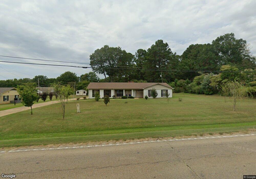
801 State Highway 30 W New Albany, MS 38652
Estimated Value: $151,786 - $238,000
--
Bed
2
Baths
1,650
Sq Ft
$130/Sq Ft
Est. Value
About This Home
This home is located at 801 State Highway 30 W, New Albany, MS 38652 and is currently estimated at $213,697, approximately $129 per square foot. 801 State Highway 30 W is a home located in Union County with nearby schools including New Albany Elementary School, New Albany/S.Tippah/Union County Alternative School, and New Albany Middle School.
Ownership History
Date
Name
Owned For
Owner Type
Purchase Details
Closed on
Nov 15, 2017
Sold by
Tune Ray and Tune Nancy
Bought by
Harris Betty D
Current Estimated Value
Home Financials for this Owner
Home Financials are based on the most recent Mortgage that was taken out on this home.
Original Mortgage
$118,745
Outstanding Balance
$99,345
Interest Rate
3.88%
Mortgage Type
New Conventional
Estimated Equity
$114,352
Purchase Details
Closed on
Oct 13, 2015
Bought by
Charlotte Charlotte T and Charlotte Sherry D
Purchase Details
Closed on
Oct 5, 2015
Bought by
Ray and Ray Nancy
Create a Home Valuation Report for This Property
The Home Valuation Report is an in-depth analysis detailing your home's value as well as a comparison with similar homes in the area
Home Values in the Area
Average Home Value in this Area
Purchase History
| Date | Buyer | Sale Price | Title Company |
|---|---|---|---|
| Harris Betty D | -- | None Available | |
| Charlotte Charlotte T | -- | -- | |
| Ray | -- | -- |
Source: Public Records
Mortgage History
| Date | Status | Borrower | Loan Amount |
|---|---|---|---|
| Open | Harris Betty D | $118,745 |
Source: Public Records
Tax History Compared to Growth
Tax History
| Year | Tax Paid | Tax Assessment Tax Assessment Total Assessment is a certain percentage of the fair market value that is determined by local assessors to be the total taxable value of land and additions on the property. | Land | Improvement |
|---|---|---|---|---|
| 2025 | $108 | $10,662 | $0 | $0 |
| 2024 | $105 | $10,662 | $0 | $0 |
| 2023 | $106 | $10,662 | $0 | $0 |
| 2022 | $106 | $8,692 | $0 | $0 |
| 2021 | $103 | $8,692 | $0 | $0 |
| 2020 | $103 | $8,692 | $0 | $0 |
| 2019 | $103 | $8,692 | $0 | $0 |
| 2018 | $103 | $8,236 | $0 | $0 |
| 2017 | $1,682 | $12,354 | $0 | $0 |
| 2016 | $1,626 | $12,354 | $0 | $0 |
| 2015 | -- | $8,175 | $0 | $0 |
| 2014 | -- | $7,557 | $0 | $0 |
Source: Public Records
Map
Nearby Homes
- 803 Oxford Loop
- 717 Oxford Loop
- 405 Ray St
- 711 Oxford Loop
- 0 Hwy 30 West - 2 Acres Unit 25-34
- 621 Glendale Rd
- 404 Glenhaven Dr
- 403 Bristol Ave
- 301 Starlyn Ave
- 520 Walker Cir
- 1202 Martintown Rd
- 0 Bratton Rd
- Tract 2 Cr 54
- Tract 3 Cr 54
- 403 Doctors Dr
- 0 Park Plaza Dr
- 816 W Bankhead St
- 0 Coulter Dr Denton Rd Unit 24-3689
- Lot 84 Greenhaven Dr
- Lot 100 Greenhaven Dr
- 803 State Highway 30 W
- 804 W Shady
- 804 W Shady Ln
- 717 State Highway 30 W
- 805 State Highway 30 W
- 806 W Shady Ln
- 718 Hwy 30 W
- 800 Hwy 30 W
- 715 State Highway 30 W
- 715 State Highway 30 W
- 718 State Highway 30 W
- 800 State Highway 30 W
- 805 W Shady Ln
- 503 Lakeview Cove
- 714 W Shady Ln
- 807 State Highway 30 W
- 712 State Highway 30 W
- 712 State Highway 30 W
- 712 State Highway 30 W
- 810 W Shady Ln