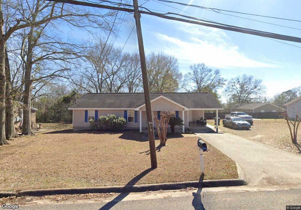
801 W Watts St Enterprise, AL 36330
Estimated Value: $141,986 - $163,000
--
Bed
--
Bath
1,296
Sq Ft
$114/Sq Ft
Est. Value
About This Home
This home is located at 801 W Watts St, Enterprise, AL 36330 and is currently estimated at $148,247, approximately $114 per square foot. 801 W Watts St is a home with nearby schools including Hillcrest Elementary School, Dauphin Junior High School, and Enterprise High School.
Ownership History
Date
Name
Owned For
Owner Type
Purchase Details
Closed on
Apr 16, 2015
Sold by
Farlow Darryl
Bought by
Farlow Annette
Current Estimated Value
Purchase Details
Closed on
Dec 18, 2007
Sold by
Habitat For Humanity Of Coffee County Al
Bought by
Farlow Darryl and Farlow Annette
Home Financials for this Owner
Home Financials are based on the most recent Mortgage that was taken out on this home.
Original Mortgage
$9,500
Interest Rate
5.79%
Mortgage Type
Second Mortgage Made To Cover Down Payment
Create a Home Valuation Report for This Property
The Home Valuation Report is an in-depth analysis detailing your home's value as well as a comparison with similar homes in the area
Home Values in the Area
Average Home Value in this Area
Purchase History
| Date | Buyer | Sale Price | Title Company |
|---|---|---|---|
| Farlow Annette | $84,440 | -- | |
| Farlow Darryl | -- | -- |
Source: Public Records
Mortgage History
| Date | Status | Borrower | Loan Amount |
|---|---|---|---|
| Previous Owner | Farlow Darryl | $9,500 | |
| Previous Owner | Farlow Darryl | $30,000 |
Source: Public Records
Tax History Compared to Growth
Tax History
| Year | Tax Paid | Tax Assessment Tax Assessment Total Assessment is a certain percentage of the fair market value that is determined by local assessors to be the total taxable value of land and additions on the property. | Land | Improvement |
|---|---|---|---|---|
| 2024 | $499 | $10,780 | $600 | $10,180 |
| 2023 | $458 | $9,827 | $600 | $9,227 |
| 2022 | $458 | $9,840 | $0 | $0 |
| 2021 | $0 | $8,460 | $0 | $0 |
| 2020 | $0 | $8,540 | $0 | $0 |
| 2019 | $0 | $8,540 | $0 | $0 |
| 2018 | $0 | $8,740 | $0 | $0 |
| 2017 | $0 | $8,220 | $0 | $0 |
| 2016 | $0 | $8,380 | $0 | $0 |
| 2015 | -- | $8,460 | $0 | $0 |
| 2014 | -- | $8,880 | $0 | $0 |
| 2013 | -- | $0 | $0 | $0 |
Source: Public Records
Map
Nearby Homes
- 529 Damascus Rd
- 110 Cody Dr
- 104 Cody Dr
- 108 Lowery St
- 514 Fleming St
- 511 W Watts St
- 507 W Watts St
- 104 Falcon Dr
- 157 Cody Dr
- 102 Azalea Dr
- 213 Meadowbrook Dr
- 602 W Lee St
- 621 A and B N Main St
- 102 S Hill St
- 151 Rosemount Ct
- 505 W College St
- 109 Byrd St
- 141 Rosemount Ct
- 302 W College St
- 102 Lakeview Dr
- 0 W Watts Conner Brunson Unit W20141565
- 144 Nann St
- 802 W Watts St
- 142 Nann St
- 707 W Watts St
- 105 Inez St
- 901 W Watts St
- 138 Nann St
- 131 Nann St
- 808 W Watts St
- 705 W Watts St
- 136 Nann St
- 129 Nann St
- 703 Damascus Rd
- 705 Damascus Rd
- 134 Nann St
- 127 Nann St
- 104 Stonewall St
- 104 Stonewall St
- 529 Damascus Rd