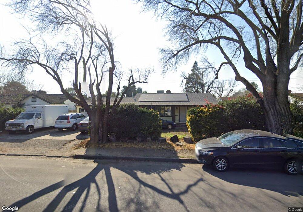
8015 Thornton Rd Stockton, CA 95209
Colonial Heights NeighborhoodEstimated Value: $330,000 - $432,000
3
Beds
1
Bath
1,064
Sq Ft
$359/Sq Ft
Est. Value
About This Home
This home is located at 8015 Thornton Rd, Stockton, CA 95209 and is currently estimated at $382,095, approximately $359 per square foot. 8015 Thornton Rd is a home located in San Joaquin County with nearby schools including Colonial Heights School, Sierra Middle School, and Lincoln High School.
Ownership History
Date
Name
Owned For
Owner Type
Purchase Details
Closed on
Sep 29, 2020
Sold by
Thomson Phil and Thomson Mary A
Bought by
Thomson Terrence P and Thomson Mary A
Current Estimated Value
Purchase Details
Closed on
Oct 9, 2002
Sold by
Thomson Phil and Thomson Mary A
Bought by
Thomson Phil and Thomson Mary A
Home Financials for this Owner
Home Financials are based on the most recent Mortgage that was taken out on this home.
Original Mortgage
$128,000
Interest Rate
6.05%
Create a Home Valuation Report for This Property
The Home Valuation Report is an in-depth analysis detailing your home's value as well as a comparison with similar homes in the area
Home Values in the Area
Average Home Value in this Area
Purchase History
| Date | Buyer | Sale Price | Title Company |
|---|---|---|---|
| Thomson Terrence P | -- | None Available | |
| Thomson Phil | -- | Fidelity Natl Title Ins Co |
Source: Public Records
Mortgage History
| Date | Status | Borrower | Loan Amount |
|---|---|---|---|
| Closed | Thomson Phil | $128,000 |
Source: Public Records
Tax History Compared to Growth
Tax History
| Year | Tax Paid | Tax Assessment Tax Assessment Total Assessment is a certain percentage of the fair market value that is determined by local assessors to be the total taxable value of land and additions on the property. | Land | Improvement |
|---|---|---|---|---|
| 2025 | $4,636 | $210,462 | $76,874 | $133,588 |
| 2024 | $4,537 | $206,336 | $75,367 | $130,969 |
| 2023 | $4,469 | $202,291 | $73,890 | $128,401 |
| 2022 | $4,330 | $198,326 | $72,442 | $125,884 |
| 2021 | $4,254 | $194,438 | $71,022 | $123,416 |
| 2020 | $4,209 | $192,445 | $70,294 | $122,151 |
| 2019 | $4,173 | $188,672 | $68,916 | $119,756 |
| 2018 | $4,076 | $184,973 | $67,565 | $117,408 |
| 2017 | $3,996 | $181,347 | $66,241 | $115,106 |
| 2016 | $3,677 | $177,791 | $64,942 | $112,849 |
| 2014 | $3,299 | $133,000 | $40,000 | $93,000 |
Source: Public Records
Map
Nearby Homes
- 8160 Encino Ave
- 1355 Paloma Ave
- 8011 N Pershing Ave
- 8350 Encino Ave
- 8324 Rothesay Place
- 8518 Burns Place
- 948 Macduff Ave
- 8013 El Cajon St
- 8306 Galloway Dr
- 1617 Seville Ave
- 1629 Cortez Ave
- 764 Macduff Ave
- 1816 Cortez Ave
- 327 Arc Ave
- 8441 Skye Dr
- 8603 Acapulco Way
- 7638 Santa Ines Ct
- 8811 Davis Rd
- 8715 Eastwood Ct
- 220 San Carlos Way
- 8029 Thornton Rd
- 8003 Thornton Rd
- 8039 Thornton Rd
- 8016 Valencia Ave
- 8028 Valencia Ave
- 8002 Valencia Ave
- 7985 Thornton Rd
- 8040 Valencia Ave
- 8049 Thornton Rd
- 1093 El Camino Ave
- 8052 Valencia Ave
- 1134 El Camino Ave
- 7975 Thornton Rd
- 8057 Thornton Rd
- 8050 Thornton Rd
- 1207 El Camino Ave
- 1069 El Camino Ave
- 8062 Valencia Ave
- 7965 Thornton Rd
- 7974 Thornton Rd