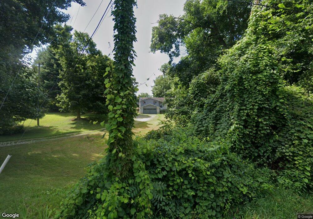
8017 James Rd Wooster, OH 44691
Estimated Value: $321,000 - $359,000
3
Beds
3
Baths
1,240
Sq Ft
$275/Sq Ft
Est. Value
About This Home
This home is located at 8017 James Rd, Wooster, OH 44691 and is currently estimated at $341,478, approximately $275 per square foot. 8017 James Rd is a home located in Wayne County with nearby schools including Triway High School, Sunny Meadow, and Moreland School.
Ownership History
Date
Name
Owned For
Owner Type
Purchase Details
Closed on
Jul 29, 2005
Sold by
Litteral Charles M and Litteral Gloria Jean
Bought by
Marchand Jeffrey A and Marchand Gerri
Current Estimated Value
Home Financials for this Owner
Home Financials are based on the most recent Mortgage that was taken out on this home.
Original Mortgage
$141,000
Outstanding Balance
$74,069
Interest Rate
5.66%
Mortgage Type
Fannie Mae Freddie Mac
Estimated Equity
$267,409
Purchase Details
Closed on
Aug 20, 1993
Sold by
Stidham James W and Stidham Judith
Bought by
Litteral Charles M and Litteral Glor
Create a Home Valuation Report for This Property
The Home Valuation Report is an in-depth analysis detailing your home's value as well as a comparison with similar homes in the area
Purchase History
| Date | Buyer | Sale Price | Title Company |
|---|---|---|---|
| Marchand Jeffrey A | $170,000 | Wayne County Title Agency | |
| Litteral Charles M | $80,000 | -- |
Source: Public Records
Mortgage History
| Date | Status | Borrower | Loan Amount |
|---|---|---|---|
| Open | Marchand Jeffrey A | $141,000 |
Source: Public Records
Tax History
| Year | Tax Paid | Tax Assessment Tax Assessment Total Assessment is a certain percentage of the fair market value that is determined by local assessors to be the total taxable value of land and additions on the property. | Land | Improvement |
|---|---|---|---|---|
| 2024 | $3,377 | $97,940 | $45,830 | $52,110 |
| 2023 | $3,403 | $97,940 | $45,830 | $52,110 |
| 2022 | $2,544 | $67,080 | $31,390 | $35,690 |
| 2021 | $2,549 | $67,080 | $31,390 | $35,690 |
| 2020 | $2,580 | $67,080 | $31,390 | $35,690 |
| 2019 | $2,440 | $61,560 | $29,440 | $32,120 |
| 2018 | $2,484 | $61,560 | $29,440 | $32,120 |
| 2017 | $2,302 | $61,560 | $29,440 | $32,120 |
| 2016 | $2,179 | $53,530 | $25,600 | $27,930 |
| 2015 | $2,129 | $53,530 | $25,600 | $27,930 |
| 2014 | $2,131 | $53,530 | $25,600 | $27,930 |
| 2013 | $2,244 | $56,140 | $25,000 | $31,140 |
Source: Public Records
Map
Nearby Homes
- 8791 James Rd
- 0 Nonpariel Rd
- 8965 State Route 83
- 8963 Ohio 83
- 4348 Buss Rd
- 3585 Shreve Eastern Rd
- 283 E Wood St
- 292 E Mcconkey St
- 3065 Dover Rd
- 2717 Timothy Place
- 141 Orchard St
- 5001 S Jefferson Rd
- 1034 Blachleyville Rd
- 6810 S Elyria Rd
- 8070 County Road 318
- 132 Villard St
- 339 Villard St
- 140 Ohio St
- 318 S Grant St
- 3299 Crestview Dr
