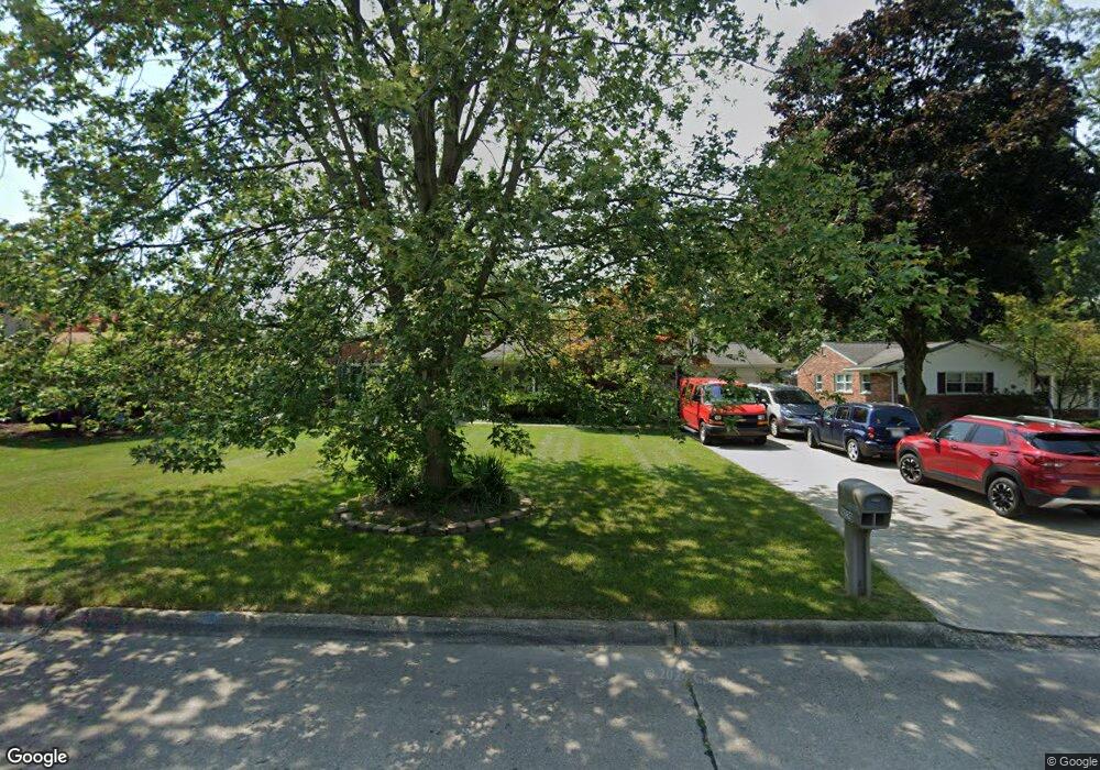
8029 Odonnell Dr Grosse Ile, MI 48138
Estimated Value: $346,000 - $383,000
Studio
1
Bath
1,920
Sq Ft
$190/Sq Ft
Est. Value
About This Home
This home is located at 8029 Odonnell Dr, Grosse Ile, MI 48138 and is currently estimated at $364,105, approximately $189 per square foot. 8029 Odonnell Dr is a home located in Wayne County with nearby schools including St. Cyprian Elementary School.
Ownership History
Date
Name
Owned For
Owner Type
Purchase Details
Closed on
Jun 14, 2024
Sold by
Robinson David Lee and Robinson Lynne C
Bought by
Robinson Lynne C
Current Estimated Value
Purchase Details
Closed on
May 17, 2004
Sold by
Bowles Paul and Bowles Jennifer
Bought by
Robinson David L
Purchase Details
Closed on
Apr 30, 2001
Sold by
Showler Mark
Bought by
Bowles Jennifer
Create a Home Valuation Report for This Property
The Home Valuation Report is an in-depth analysis detailing your home's value as well as a comparison with similar homes in the area
Home Values in the Area
Average Home Value in this Area
Purchase History
| Date | Buyer | Sale Price | Title Company |
|---|---|---|---|
| Robinson Lynne C | -- | None Listed On Document | |
| Robinson David L | $277,000 | Multiple | |
| Bowles Jennifer | $239,000 | -- |
Source: Public Records
Tax History
| Year | Tax Paid | Tax Assessment Tax Assessment Total Assessment is a certain percentage of the fair market value that is determined by local assessors to be the total taxable value of land and additions on the property. | Land | Improvement |
|---|---|---|---|---|
| 2025 | $2,002 | $185,900 | $0 | $0 |
| 2024 | $1,949 | $179,700 | $0 | $0 |
| 2023 | $2,229 | $169,900 | $0 | $0 |
| 2022 | $5,188 | $157,200 | $0 | $0 |
| 2021 | $4,963 | $156,000 | $0 | $0 |
| 2019 | $4,922 | $135,300 | $0 | $0 |
| 2018 | $2,117 | $136,400 | $0 | $0 |
| 2017 | $5,466 | $131,100 | $0 | $0 |
| 2016 | $4,837 | $130,500 | $0 | $0 |
| 2015 | $10,300 | $117,200 | $0 | $0 |
| 2013 | $9,979 | $108,300 | $0 | $0 |
| 2012 | $1,945 | $104,500 | $27,100 | $77,400 |
Source: Public Records
Map
Nearby Homes
- 20766 Hcl Jackson
- 7949 Church Rd
- 21527 Parke Ln
- 21071 Thorofare Rd
- 8258 Concord Rd
- 21599 Parke Ln
- 21774 E River Rd
- 21524 Thorofare Rd
- 9355 Highland Dr
- 22220 E River Rd
- 7806 Island Blvd
- 9447 Whitall Ln
- 0 West River Unit 20250008619
- 9281 Island Dr
- 9000 Ferry Rd
- 00000 Magnolia Ln
- VACANT Oriole Ave
- Lot 2 Bridge
- 8842 Thorntree Dr
- 0 Ferry Rd Unit 20250033371
- 8051 Odonnell Dr
- 20960 Parke Ln
- 8069 Odonnell Dr
- 8036 Woodcrest Dr
- 8060 Woodcrest Dr
- 8012 Woodcrest Dr
- 8030 Odonnell Dr
- 8012 Odonnell Dr
- 8091 Odonnell Dr
- 8072 Odonnell Dr
- 8052 Odonnell Dr
- 8100 Woodcrest Dr
- 8107 Odonnell Dr
- 8122 Woodcrest Dr
- 8092 Odonnell Dr
- 20755 Parke Ln
- 21035 Parke Ln
- 8035 Woodcrest Dr
- 20701 Parke Ln
- 8110 Odonnell Dr
Your Personal Tour Guide
Ask me questions while you tour the home.