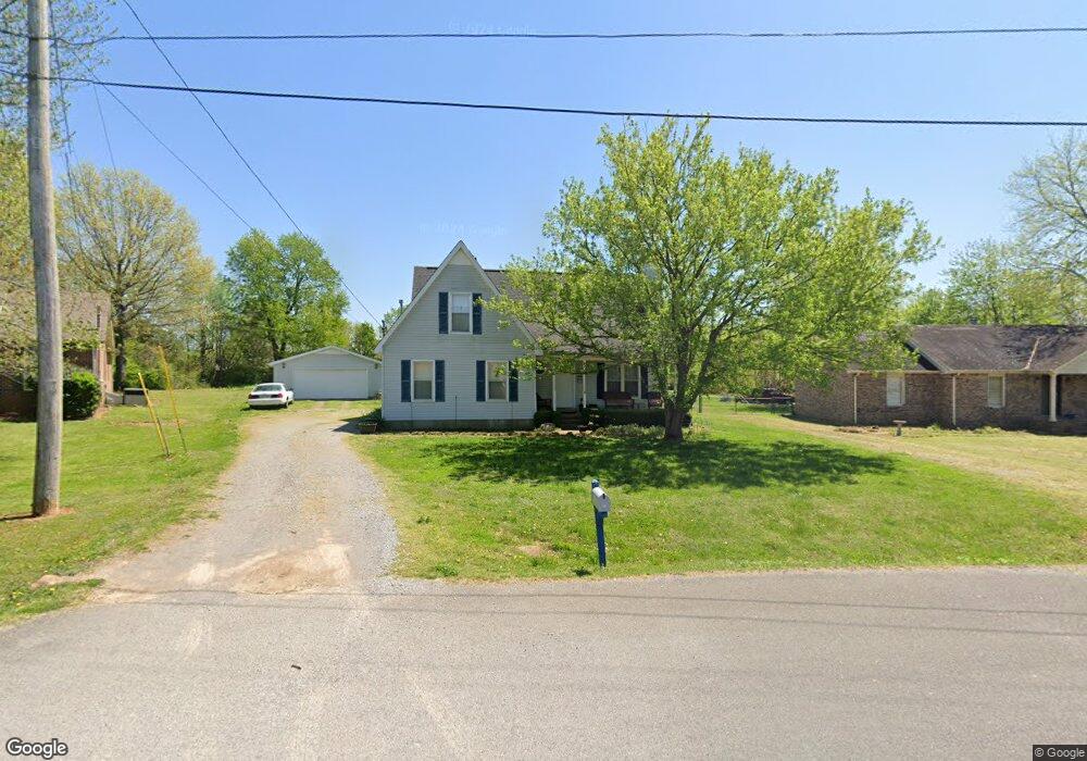
803 Spike Trail Murfreesboro, TN 37129
Estimated Value: $376,341 - $429,000
Studio
2
Baths
2,259
Sq Ft
$181/Sq Ft
Est. Value
About This Home
This home is located at 803 Spike Trail, Murfreesboro, TN 37129 and is currently estimated at $408,085, approximately $180 per square foot. 803 Spike Trail is a home located in Rutherford County with nearby schools including Blackman Elementary School, Blackman Middle School, and Blackman High School.
Ownership History
Date
Name
Owned For
Owner Type
Purchase Details
Closed on
Jan 27, 2003
Sold by
Elliott Larry W and Elliott Cheryl R
Bought by
Burleyson John W
Current Estimated Value
Home Financials for this Owner
Home Financials are based on the most recent Mortgage that was taken out on this home.
Original Mortgage
$92,242
Outstanding Balance
$39,678
Interest Rate
6.01%
Estimated Equity
$368,407
Create a Home Valuation Report for This Property
The Home Valuation Report is an in-depth analysis detailing your home's value as well as a comparison with similar homes in the area
Home Values in the Area
Average Home Value in this Area
Purchase History
| Date | Buyer | Sale Price | Title Company |
|---|---|---|---|
| Burleyson John W | $95,700 | -- |
Source: Public Records
Mortgage History
| Date | Status | Borrower | Loan Amount |
|---|---|---|---|
| Open | Burleyson John W | $92,242 |
Source: Public Records
Tax History
| Year | Tax Paid | Tax Assessment Tax Assessment Total Assessment is a certain percentage of the fair market value that is determined by local assessors to be the total taxable value of land and additions on the property. | Land | Improvement |
|---|---|---|---|---|
| 2025 | $1,503 | $80,125 | $13,750 | $66,375 |
| 2024 | $1,503 | $80,125 | $13,750 | $66,375 |
| 2023 | $1,503 | $80,125 | $13,750 | $66,375 |
| 2022 | $1,295 | $80,125 | $13,750 | $66,375 |
| 2021 | $1,230 | $55,425 | $9,250 | $46,175 |
| 2020 | $1,230 | $55,425 | $9,250 | $46,175 |
| 2019 | $1,230 | $55,425 | $9,250 | $46,175 |
| 2018 | $1,164 | $55,425 | $0 | $0 |
| 2017 | $1,053 | $39,275 | $0 | $0 |
| 2016 | $1,053 | $39,275 | $0 | $0 |
| 2015 | $1,053 | $39,275 | $0 | $0 |
| 2014 | $977 | $39,275 | $0 | $0 |
| 2013 | -- | $34,875 | $0 | $0 |
Source: Public Records
Map
Nearby Homes
- 3719 Red Willow Ct
- 1011 Maricopa Dr
- 701 Spike Trail
- 561 Campfire Dr
- 1026 Wolves Den Place
- 810 Staten Dr
- 876 Wolves Den Place
- 1022 Sitting Bull Crossing
- 1038 Sitting Bull Crossing
- 1039 Sitting Bull Crossing
- 3741 Southbend Dr
- 689 Doe Dr
- 825 Kaylee Cir
- 4014 Cannonsgate Ln
- 452 Campfire Dr
- 411 Campfire Dr
- 920 Manson Crossing Dr
- 945 Manson Crossing Dr
- 4116 Maximillion Cir
- 1118 Averwater Run
- 809 Spike Trail
- 743 Spike Trail
- 815 Spike Trail
- 804 Spike Trail
- 737 Spike Trail
- 605 Spike Trail
- 732 Spike Trail
- 835 Spike Trail
- 595 Spike Trail
- 731 Spike Trail
- 615 Spike Trail
- 816 Spike Trail
- 2610 Foxfire Ct
- 2616 Foxfire Ct
- 585 Spike Trail
- 2622 Foxfire Ct
- 2604 Foxfire Ct
- 625 Spike Trail
- 577 Spike Trail
- 725 Spike Trail
Your Personal Tour Guide
Ask me questions while you tour the home.