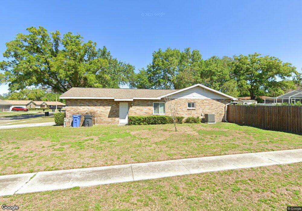
805 Bills Cir Brandon, FL 33511
Estimated Value: $386,000 - $408,000
3
Beds
2
Baths
1,747
Sq Ft
$227/Sq Ft
Est. Value
About This Home
This home is located at 805 Bills Cir, Brandon, FL 33511 and is currently estimated at $396,626, approximately $227 per square foot. 805 Bills Cir is a home located in Hillsborough County with nearby schools including Brooker Elementary School, Burns Middle School, and Bloomingdale High School.
Ownership History
Date
Name
Owned For
Owner Type
Purchase Details
Closed on
Mar 13, 2009
Sold by
Flanagin Marvena
Bought by
Craycraft Jessica and Brandon John
Current Estimated Value
Home Financials for this Owner
Home Financials are based on the most recent Mortgage that was taken out on this home.
Original Mortgage
$139,428
Outstanding Balance
$88,516
Interest Rate
5.1%
Mortgage Type
FHA
Estimated Equity
$308,110
Purchase Details
Closed on
Jun 25, 2001
Sold by
Wentz Carlton T and Wentz E
Bought by
Wentz Mildred E
Create a Home Valuation Report for This Property
The Home Valuation Report is an in-depth analysis detailing your home's value as well as a comparison with similar homes in the area
Home Values in the Area
Average Home Value in this Area
Purchase History
| Date | Buyer | Sale Price | Title Company |
|---|---|---|---|
| Craycraft Jessica | $142,000 | Hillsborough Title Of Brando | |
| Wentz Mildred E | -- | -- |
Source: Public Records
Mortgage History
| Date | Status | Borrower | Loan Amount |
|---|---|---|---|
| Open | Craycraft Jessica | $139,428 |
Source: Public Records
Tax History Compared to Growth
Tax History
| Year | Tax Paid | Tax Assessment Tax Assessment Total Assessment is a certain percentage of the fair market value that is determined by local assessors to be the total taxable value of land and additions on the property. | Land | Improvement |
|---|---|---|---|---|
| 2024 | $1,900 | $114,522 | -- | -- |
| 2023 | $1,817 | $111,851 | $0 | $0 |
| 2022 | $1,673 | $108,593 | $0 | $0 |
| 2021 | $1,626 | $105,430 | $0 | $0 |
| 2020 | $1,546 | $103,974 | $0 | $0 |
| 2019 | $1,463 | $101,636 | $0 | $0 |
| 2018 | $1,411 | $99,741 | $0 | $0 |
| 2017 | $1,382 | $154,401 | $0 | $0 |
| 2016 | $1,347 | $95,681 | $0 | $0 |
| 2015 | $1,360 | $95,016 | $0 | $0 |
| 2014 | $1,336 | $94,262 | $0 | $0 |
| 2013 | -- | $92,869 | $0 | $0 |
Source: Public Records
Map
Nearby Homes
- 803 Bills Cir
- 712 Lithia Pinecrest Rd
- 828 Terra Vista St
- 620 Lithia Pinecrest Rd
- 0 Dew Bloom Rd Unit MFRL4947412
- 808 Vittorio Place
- 1022 Oliveto Verdi Ct
- 703 E Lumsden Rd
- 411 Bryan Rd
- 523 Coulter Rd
- 1044 Oliveto Verdi Ct
- 1029 Sonesta Ave
- 1107 Southside Dr
- 601 Fairmont Dr
- 1111 Bryan Rd
- 217 Bryan Rd
- 1105 Briarwood Rd
- 736 Tuscanny St
- 207 Glendale Dr
- 308 Lake Parsons Green Unit 106