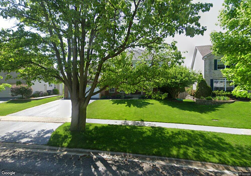
805 Columbus Dr Unit 2 Oswego, IL 60543
Northwest Oswego NeighborhoodEstimated Value: $488,000 - $505,000
4
Beds
3
Baths
3,285
Sq Ft
$151/Sq Ft
Est. Value
About This Home
This home is located at 805 Columbus Dr Unit 2, Oswego, IL 60543 and is currently estimated at $496,777, approximately $151 per square foot. 805 Columbus Dr Unit 2 is a home located in Kendall County with nearby schools including Fox Chase Elementary School, Traughber Junior High School, and Oswego High School.
Ownership History
Date
Name
Owned For
Owner Type
Purchase Details
Closed on
Aug 13, 2004
Sold by
Richard Smykal Inc
Bought by
West Lonnie G and West Marianne
Current Estimated Value
Home Financials for this Owner
Home Financials are based on the most recent Mortgage that was taken out on this home.
Original Mortgage
$310,555
Outstanding Balance
$148,864
Interest Rate
5.5%
Mortgage Type
Purchase Money Mortgage
Estimated Equity
$347,913
Create a Home Valuation Report for This Property
The Home Valuation Report is an in-depth analysis detailing your home's value as well as a comparison with similar homes in the area
Home Values in the Area
Average Home Value in this Area
Purchase History
| Date | Buyer | Sale Price | Title Company |
|---|---|---|---|
| West Lonnie G | $327,000 | Chicago Title Insurance Co |
Source: Public Records
Mortgage History
| Date | Status | Borrower | Loan Amount |
|---|---|---|---|
| Open | West Lonnie G | $310,555 |
Source: Public Records
Tax History Compared to Growth
Tax History
| Year | Tax Paid | Tax Assessment Tax Assessment Total Assessment is a certain percentage of the fair market value that is determined by local assessors to be the total taxable value of land and additions on the property. | Land | Improvement |
|---|---|---|---|---|
| 2024 | $11,398 | $147,636 | $29,309 | $118,327 |
| 2023 | $10,282 | $130,651 | $25,937 | $104,714 |
| 2022 | $10,282 | $119,863 | $23,795 | $96,068 |
| 2021 | $10,222 | $115,253 | $22,880 | $92,373 |
| 2020 | $9,904 | $110,820 | $22,000 | $88,820 |
| 2019 | $10,236 | $112,633 | $22,000 | $90,633 |
| 2018 | $9,905 | $108,372 | $28,514 | $79,858 |
| 2017 | $9,577 | $99,424 | $26,160 | $73,264 |
| 2016 | $9,416 | $96,528 | $25,398 | $71,130 |
| 2015 | $9,279 | $91,064 | $23,960 | $67,104 |
| 2014 | -- | $85,910 | $22,604 | $63,306 |
| 2013 | -- | $86,777 | $22,832 | $63,945 |
Source: Public Records
Map
Nearby Homes
- 409 Fawn Dr
- 435 Fawn Dr
- 107 Kristine St
- 805 Cougar Ln
- 458 Greenview Ln
- 2100 Light Rd Unit 109
- 2300 Light Rd Unit 209
- 2600 Light Rd Unit 210
- 602 Clearwater Ct Unit 2
- 238 Willowwood Dr
- 338 Millstream Ln Unit 1
- 608 Clearwater Ct
- 1415 State Route 31
- 7.43 Acres Vacant La State Route 31
- 11-13 W Anchor Rd
- 514 Bentson St
- 505 Parkland Ct
- 5.43 B-3 Commercial State Route 31
- 125 Presidential Blvd Unit 3248
- 141 River Mist Dr
- 803 Columbus Dr Unit 2
- 807 Columbus Dr
- 801 Columbus Dr
- 809 Columbus Dr
- 641 Manhattan Cir
- 806 Columbus Dr
- 635 Manhattan Cir Unit 2
- 643 Manhattan Cir
- 811 Columbus Dr Unit 2
- 645 Manhattan Cir Unit 2
- 633 Manhattan Cir
- 814 Columbus Dr
- 813 Columbus Dr Unit 2
- 689 Manhattan Cir
- 640 Manhattan Cir
- 638 Manhattan Cir
- 687 Manhattan Cir
- 642 Manhattan Cir
- 636 Manhattan Cir
- 631 Manhattan Cir