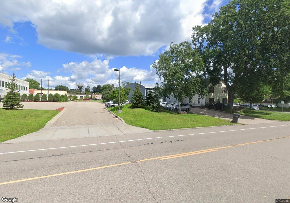
805 Pierce Butler Route Saint Paul, MN 55104
Frogtown NeighborhoodEstimated Value: $311,806
--
Bed
--
Bath
3,040
Sq Ft
$103/Sq Ft
Est. Value
About This Home
This home is located at 805 Pierce Butler Route, Saint Paul, MN 55104 and is currently estimated at $311,806, approximately $102 per square foot. 805 Pierce Butler Route is a home located in Ramsey County with nearby schools including Como Park Elementary School, Murray Middle School, and Como Park Senior High School.
Ownership History
Date
Name
Owned For
Owner Type
Purchase Details
Closed on
May 11, 2016
Sold by
Anderson Theodora
Bought by
Premium Management Llc
Current Estimated Value
Home Financials for this Owner
Home Financials are based on the most recent Mortgage that was taken out on this home.
Original Mortgage
$140,800
Interest Rate
3.66%
Create a Home Valuation Report for This Property
The Home Valuation Report is an in-depth analysis detailing your home's value as well as a comparison with similar homes in the area
Home Values in the Area
Average Home Value in this Area
Purchase History
| Date | Buyer | Sale Price | Title Company |
|---|---|---|---|
| Premium Management Llc | $195,000 | Realstar Title | |
| Premium Management Llc | $195,000 | Realstar Title |
Source: Public Records
Mortgage History
| Date | Status | Borrower | Loan Amount |
|---|---|---|---|
| Previous Owner | Premium Management Llc | $140,800 |
Source: Public Records
Tax History Compared to Growth
Tax History
| Year | Tax Paid | Tax Assessment Tax Assessment Total Assessment is a certain percentage of the fair market value that is determined by local assessors to be the total taxable value of land and additions on the property. | Land | Improvement |
|---|---|---|---|---|
| 2025 | $9,452 | $329,500 | $31,400 | $298,100 |
| 2023 | $9,452 | $336,000 | $31,400 | $304,600 |
| 2022 | $7,832 | $281,400 | $31,400 | $250,000 |
| 2021 | $6,790 | $263,500 | $31,400 | $232,100 |
| 2020 | $6,942 | $237,000 | $31,400 | $205,600 |
| 2019 | $5,904 | $229,700 | $31,400 | $198,300 |
| 2018 | $4,178 | $199,800 | $31,400 | $168,400 |
| 2017 | $3,966 | $152,000 | $31,400 | $120,600 |
| 2016 | $4,494 | $0 | $0 | $0 |
| 2015 | $4,562 | $125,000 | $31,400 | $93,600 |
| 2014 | $4,766 | $0 | $0 | $0 |
Source: Public Records
Map
Nearby Homes
- 751 Van Buren Ave
- 646 Van Buren Ave
- 710 Lafond Ave
- 631 Van Buren Ave
- 895 Front Ave
- 999 Minnehaha Ave W
- 989 Barrett St
- 1030 Englewood Ave
- 885 Edmund Ave
- 951 Front Ave
- 816 Edmund Ave
- 818 Edmund Ave
- 852 Edmund Ave
- 653 Thomas Ave
- 730 Edmund Ave
- 679 Edmund Ave
- 877 Charles Ave
- 352 Como Ave
- 740 Como Ave
- 723 Charles Ave
- 801 Pierce Butler Route
- 799 Pierce Butler Route
- 804 Hubbard Ave
- 795 795 Pierce Butler Route
- 795 Pierce Butler Route
- 781 W Pierce Butler Route
- 781 Pierce Butler Route
- 803 Englewood Ave
- 815 Englewood Ave
- 799 Englewood Ave
- 823 Englewood Ave
- 793 Englewood Ave
- 795 Englewood Ave
- 771 Pierce Butler Route
- 787 Englewood Ave
- 833 Englewood Ave
- 846 Pierce Butler Route
- 767 Pierce Butler Route
- 781 Englewood Ave
- 843 Englewood Ave