805 W Forrest St La Follette, TN 37766
Estimated Value: $115,000 - $183,000
--
Bed
2
Baths
1,211
Sq Ft
$121/Sq Ft
Est. Value
About This Home
This home is located at 805 W Forrest St, La Follette, TN 37766 and is currently estimated at $146,000, approximately $120 per square foot. 805 W Forrest St is a home located in Campbell County with nearby schools including Calvary Christian Academy.
Ownership History
Date
Name
Owned For
Owner Type
Purchase Details
Closed on
Mar 3, 2022
Sold by
Warren Heatherly
Bought by
Byrge Donnie
Current Estimated Value
Purchase Details
Closed on
Jan 4, 2018
Sold by
Williams Ulis E and Williams Gail
Bought by
Byrge Donnie
Purchase Details
Closed on
May 2, 2011
Sold by
Williams Ulis E
Bought by
Williams Ulis E
Purchase Details
Closed on
Feb 25, 2000
Sold by
Smith Novella
Bought by
Williams Ulis
Purchase Details
Closed on
Aug 21, 1990
Bought by
Smith Novella
Purchase Details
Closed on
Feb 6, 1981
Bought by
Williams Ulis E and Williams Gail L
Purchase Details
Closed on
Apr 21, 1980
Create a Home Valuation Report for This Property
The Home Valuation Report is an in-depth analysis detailing your home's value as well as a comparison with similar homes in the area
Home Values in the Area
Average Home Value in this Area
Purchase History
| Date | Buyer | Sale Price | Title Company |
|---|---|---|---|
| Byrge Donnie | $4,054 | Winchester David A | |
| Byrge Donnie | $11,000 | None Available | |
| Williams Ulis E | -- | -- | |
| Williams Ulis | $12,000 | -- | |
| Smith Novella | $100 | -- | |
| Williams Ulis E | -- | -- | |
| -- | -- | -- |
Source: Public Records
Tax History Compared to Growth
Tax History
| Year | Tax Paid | Tax Assessment Tax Assessment Total Assessment is a certain percentage of the fair market value that is determined by local assessors to be the total taxable value of land and additions on the property. | Land | Improvement |
|---|---|---|---|---|
| 2025 | -- | $26,725 | $0 | $0 |
| 2024 | -- | $26,725 | $4,200 | $22,525 |
| 2023 | $411 | $12,225 | $1,875 | $10,350 |
| 2022 | $411 | $12,225 | $1,875 | $10,350 |
| 2021 | $411 | $12,225 | $1,875 | $10,350 |
| 2020 | $403 | $12,225 | $1,875 | $10,350 |
| 2019 | $411 | $12,225 | $1,875 | $10,350 |
| 2018 | $374 | $10,550 | $1,500 | $9,050 |
| 2017 | $374 | $10,550 | $1,500 | $9,050 |
| 2016 | $374 | $10,550 | $1,500 | $9,050 |
| 2015 | $347 | $10,550 | $1,500 | $9,050 |
| 2014 | $347 | $10,550 | $1,500 | $9,050 |
| 2013 | -- | $10,550 | $1,500 | $9,050 |
Source: Public Records
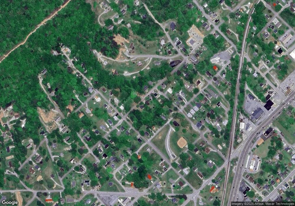
Map
Nearby Homes
- 307 N 21st St
- 508 Short St
- 504 Short St
- 926 W Walden St
- 109 N 23rd St
- 721 Cherry St
- 550 N 13th St
- 0 W St
- 0 Highland Dr Unit 1291296
- 544 N 27th St
- 0 W Hemlock St
- 412 W Hemlock St
- 115 Paul Ln
- 810 S 17th St
- 213 W Fir St
- 914 S 13th St
- 122 Regan Ln
- 0 Loop Rd Unit 1315263
- lot 12 Hickory Hill
- 306 E Walden St
- 803 W Forrest St
- 809 W Forrest St
- 311 N 17th St
- 806 W Prospect St
- 802 W Prospect St
- 802 W Forrest St W
- 806 W Forrest St
- 813 W Forrest St
- 310 N 17th St
- 812 W Prospect St
- 714 W Prospect St
- 716 W Forrest St
- 402 N 19th St
- 712 W Prospect St
- 306 N 17th St
- 816 W Prospect St
- 406 N 19th St
- 311 N 19th St
- 307 N 19th St
- 710 W Prospect St