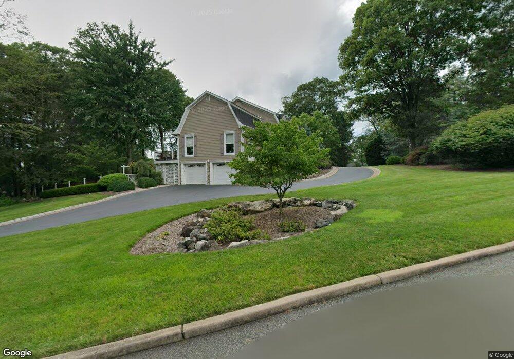
806 Minsi Trail Franklin Lakes, NJ 07417
Estimated Value: $1,884,296 - $2,111,000
5
Beds
5
Baths
4,563
Sq Ft
$447/Sq Ft
Est. Value
About This Home
This home is located at 806 Minsi Trail, Franklin Lakes, NJ 07417 and is currently estimated at $2,038,574, approximately $446 per square foot. 806 Minsi Trail is a home located in Bergen County with nearby schools including High Mountain Road Elementary School, Franklin Avenue Middle School, and Ramapo High School.
Ownership History
Date
Name
Owned For
Owner Type
Purchase Details
Closed on
Aug 14, 2020
Sold by
Miano Robert and Miano Anna Frazzetto
Bought by
Powers Daniel and Powers Lauren
Current Estimated Value
Home Financials for this Owner
Home Financials are based on the most recent Mortgage that was taken out on this home.
Original Mortgage
$1,056,800
Interest Rate
2.8%
Mortgage Type
New Conventional
Purchase Details
Closed on
Jun 5, 2006
Sold by
Gerstle Ellen Lee
Bought by
Gerstle Claude and Gerstle Ellen Lee
Create a Home Valuation Report for This Property
The Home Valuation Report is an in-depth analysis detailing your home's value as well as a comparison with similar homes in the area
Home Values in the Area
Average Home Value in this Area
Purchase History
| Date | Buyer | Sale Price | Title Company |
|---|---|---|---|
| Powers Daniel | $1,321,000 | Westcor Land Title Ins Co | |
| Gerstle Claude | -- | -- | |
| -- | $1,460,000 | -- |
Source: Public Records
Mortgage History
| Date | Status | Borrower | Loan Amount |
|---|---|---|---|
| Previous Owner | Powers Daniel | $1,056,800 |
Source: Public Records
Tax History Compared to Growth
Tax History
| Year | Tax Paid | Tax Assessment Tax Assessment Total Assessment is a certain percentage of the fair market value that is determined by local assessors to be the total taxable value of land and additions on the property. | Land | Improvement |
|---|---|---|---|---|
| 2025 | $20,070 | $1,117,500 | $434,000 | $683,500 |
| 2024 | $19,333 | $1,117,500 | $434,000 | $683,500 |
| 2023 | $18,841 | $1,117,500 | $434,000 | $683,500 |
| 2022 | $18,841 | $1,117,500 | $434,000 | $683,500 |
| 2021 | $18,573 | $1,117,500 | $434,000 | $683,500 |
| 2020 | $18,120 | $1,099,500 | $434,000 | $665,500 |
| 2019 | $18,054 | $1,099,500 | $434,000 | $665,500 |
| 2018 | $17,867 | $1,099,500 | $434,000 | $665,500 |
| 2017 | $17,988 | $1,099,500 | $434,000 | $665,500 |
| 2016 | $18,043 | $1,099,500 | $434,000 | $665,500 |
| 2015 | $17,581 | $1,099,500 | $434,000 | $665,500 |
| 2014 | $17,284 | $1,099,500 | $434,000 | $665,500 |
Source: Public Records
Map
Nearby Homes
- 620 Grandview Terrace
- 707 Black Hawk Ln
- 223 Terrace Rd
- 740 Van Houten Ave
- 265 Terrace Rd
- 613 Knollwood Rd
- 6 Northwood Dr
- 847 Apache Rd
- 564 Highway208
- 564 Highway 208
- 760 Smoke Hollow Trail
- 576 Haddon Place
- 907 Scioto Dr
- 510 Sicomac Ave
- 240 Ottowa Ln
- 865 Olentangy Rd
- 1055 High Mountain Rd
- 587 High Mountain Rd
- 538 Franklin Ave
- 951 Scioto Dr