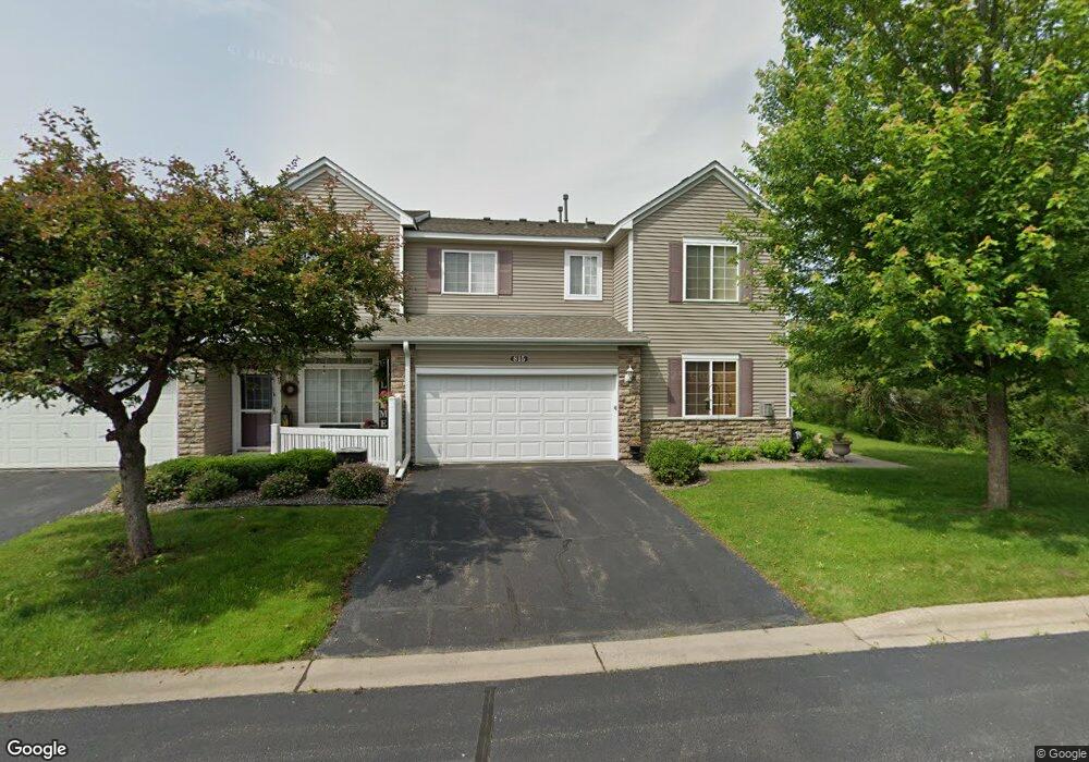
807 10th St S Buffalo, MN 55313
Estimated Value: $249,000 - $257,865
2
Beds
2
Baths
1,628
Sq Ft
$156/Sq Ft
Est. Value
About This Home
This home is located at 807 10th St S, Buffalo, MN 55313 and is currently estimated at $253,716, approximately $155 per square foot. 807 10th St S is a home located in Wright County with nearby schools including Parkside Elementary School, Buffalo Community Middle School, and Buffalo Senior High School.
Ownership History
Date
Name
Owned For
Owner Type
Purchase Details
Closed on
Nov 29, 2016
Sold by
Roth Mari W
Bought by
Krug Rhonda S
Current Estimated Value
Purchase Details
Closed on
Feb 5, 2009
Sold by
Nelson Donald J
Bought by
Roth Mari W
Purchase Details
Closed on
Jan 22, 2009
Sold by
Nelson Donald J
Bought by
Roth Mari W
Purchase Details
Closed on
Mar 25, 2005
Sold by
Centex Homes Minnesota Division
Bought by
Nelson Donald
Create a Home Valuation Report for This Property
The Home Valuation Report is an in-depth analysis detailing your home's value as well as a comparison with similar homes in the area
Home Values in the Area
Average Home Value in this Area
Purchase History
| Date | Buyer | Sale Price | Title Company |
|---|---|---|---|
| Krug Rhonda S | -- | Central Land Title | |
| Roth Mari W | $131,000 | -- | |
| Roth Mari W | $131,000 | -- | |
| Nelson Donald | $179,335 | -- |
Source: Public Records
Tax History
| Year | Tax Paid | Tax Assessment Tax Assessment Total Assessment is a certain percentage of the fair market value that is determined by local assessors to be the total taxable value of land and additions on the property. | Land | Improvement |
|---|---|---|---|---|
| 2025 | $2,734 | $240,900 | $30,000 | $210,900 |
| 2024 | $2,882 | $236,000 | $30,000 | $206,000 |
| 2023 | $2,842 | $250,600 | $35,000 | $215,600 |
| 2022 | $2,450 | $231,000 | $30,000 | $201,000 |
| 2021 | $2,468 | $184,000 | $30,000 | $154,000 |
| 2020 | $2,332 | $182,000 | $30,000 | $152,000 |
| 2019 | $2,062 | $168,600 | $0 | $0 |
| 2018 | $1,776 | $138,400 | $0 | $0 |
| 2017 | $1,578 | $118,500 | $0 | $0 |
| 2016 | $1,456 | $0 | $0 | $0 |
| 2015 | $1,278 | $0 | $0 | $0 |
| 2014 | -- | $0 | $0 | $0 |
Source: Public Records
Map
Nearby Homes
- 905 Harvest Trail
- 703 Erickson Ln
- 907 Harvest Trail
- 912 Harvest Trail
- 911 Harvest Trail
- 915 Harvest Trail
- 609 Lake Blvd S
- 705 4th St S
- 316 Creekside Dr
- 308 Creekside Dr
- 406 4th St S
- 517 Buffalo Run Rd
- 200 6th Ave S
- 1611 10th St NE
- 202 Lake Blvd S
- 1910 Buffalo Run Rd
- 607 1st St NE
- 305 18th St S
- 107 2nd Ave NE
- 305 14th Ave NE
- 807 10th St S
- 815 10th St S
- 805 10th St S
- 805 10th St S Unit 307
- 813 10th St S
- 815 10th St S
- 803 10th St S
- 811 10th St S
- 811 10th St S
- 811 10th St S Unit 303
- 801 10th St S
- 809 10th St S
- 753 10th St S
- 757 10th St S
- 757 10th St S
- 751 10th St S
- 751 10th St S
- 759 10th St S
- 733 733 10th St S
- 739 10th St S
Your Personal Tour Guide
Ask me questions while you tour the home.