8075 330th St W Northfield, MN 55057
Estimated Value: $684,000 - $767,000
5
Beds
4
Baths
2,796
Sq Ft
$259/Sq Ft
Est. Value
About This Home
This home is located at 8075 330th St W, Northfield, MN 55057 and is currently estimated at $724,796, approximately $259 per square foot. 8075 330th St W is a home located in Dakota County with nearby schools including Greenvale Park Elementary School, Northfield Middle School, and Northfield Senior High School.
Ownership History
Date
Name
Owned For
Owner Type
Purchase Details
Closed on
Dec 5, 2022
Sold by
Wendy Bollum Trust Established Under Art
Bought by
Bollum Will and Donnelly Jessica
Current Estimated Value
Purchase Details
Closed on
Dec 13, 2021
Sold by
Bollum Terry and Wayne C Bollum Revocable Trust
Bought by
Malecha Donald J and Malecha Kerry L
Create a Home Valuation Report for This Property
The Home Valuation Report is an in-depth analysis detailing your home's value as well as a comparison with similar homes in the area
Home Values in the Area
Average Home Value in this Area
Purchase History
| Date | Buyer | Sale Price | Title Company |
|---|---|---|---|
| Bollum Will | $92,833 | -- | |
| Bollum Will | $92,833 | -- | |
| Malecha Donald J | $325,000 | None Available |
Source: Public Records
Tax History Compared to Growth
Tax History
| Year | Tax Paid | Tax Assessment Tax Assessment Total Assessment is a certain percentage of the fair market value that is determined by local assessors to be the total taxable value of land and additions on the property. | Land | Improvement |
|---|---|---|---|---|
| 2024 | $6,186 | $684,300 | $106,600 | $577,700 |
| 2023 | $6,186 | $692,400 | $105,800 | $586,600 |
| 2022 | $5,082 | $627,400 | $99,800 | $527,600 |
| 2021 | $5,176 | $516,100 | $90,900 | $425,200 |
| 2020 | $5,302 | $491,900 | $87,300 | $404,600 |
| 2019 | $5,073 | $479,300 | $94,000 | $385,300 |
| 2018 | $5,376 | $435,200 | $88,100 | $347,100 |
| 2017 | $4,623 | $447,500 | $83,300 | $364,200 |
| 2016 | $4,870 | $420,700 | $80,900 | $339,800 |
| 2015 | $4,191 | $425,359 | $79,162 | $346,197 |
| 2014 | -- | $356,144 | $75,634 | $280,510 |
| 2013 | -- | $315,441 | $68,714 | $246,727 |
Source: Public Records
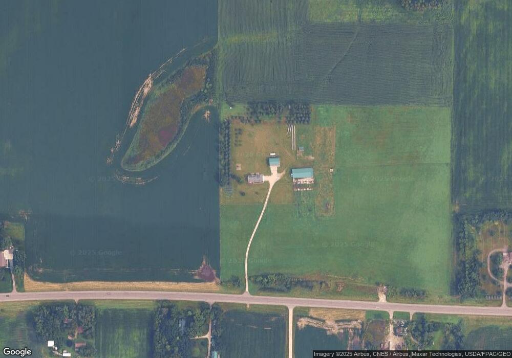
Map
Nearby Homes
- TBD Hwy 19 / Lonsdal Lonsdale Blvd E
- XXXXX 330th St
- 9206 Edgebrook Dr
- 10199 330th St W
- 1211 Lonsdale Blvd E
- 1504 Independence Dr Unit 603
- 1507 Independence Dr
- 1105 Hawthorne Ct
- 1000 Cannon Valley Dr Unit 143
- 1108 Greenvale Ave W Unit 2
- 717 Lincoln St N
- 31125 Jamaica Ave
- 1025 Summerfield Dr
- 7243 Hazelwood Ave
- 812 Ivanhoe Dr
- 621 Highland Ave W
- 728 Lathrop Dr
- 732 Lathrop Dr
- 514 Miller Ln
- 705 Grundhoefer Ct
- 3435 Lonsdale Blvd E
- 3645 Lonsdale Blvd E
- 3325 Lonsdale Blvd E
- 3647 Lonsdale Blvd E
- 7901 330th St W
- 7901 7901 330th-Street-w
- 8395 330th St W
- 7763 330th St W
- 7763 7763 330th-Street-w
- 8513 330th St W
- 3525 Lonsdale Blvd E
- 4103 Lonsdale Blvd E
- 3851 330th St W
- 8751 330th St W
- 32441 Holyoke Ave
- 2751 Lonsdale Blvd E
- 8200 Decker Ave
- 8170 320th St W
- 9009 330th St W
- 8370 320th St W