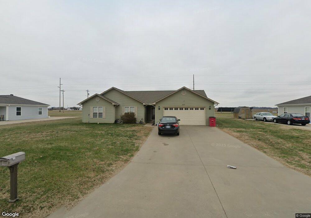
809 Apache Dr Sikeston, MO 63801
Estimated Value: $193,000 - $246,000
3
Beds
1
Bath
1,675
Sq Ft
$137/Sq Ft
Est. Value
About This Home
This home is located at 809 Apache Dr, Sikeston, MO 63801 and is currently estimated at $228,945, approximately $136 per square foot. 809 Apache Dr is a home with nearby schools including Sikeston Senior High School, St. Francis Xavier School, and The Christian Academy.
Ownership History
Date
Name
Owned For
Owner Type
Purchase Details
Closed on
Mar 29, 2023
Sold by
Jeane Reuben
Bought by
Coffey Kenneth
Current Estimated Value
Purchase Details
Closed on
Dec 3, 2009
Sold by
Mccormick Adam B and Mccormick Amy M
Bought by
Ellis Jeanette Ilene
Home Financials for this Owner
Home Financials are based on the most recent Mortgage that was taken out on this home.
Original Mortgage
$114,036
Interest Rate
4.99%
Mortgage Type
New Conventional
Purchase Details
Closed on
Feb 20, 2007
Sold by
M & M Development And Land Management Ll
Bought by
Mccormick Adam and Mccormick Amy
Home Financials for this Owner
Home Financials are based on the most recent Mortgage that was taken out on this home.
Original Mortgage
$89,500
Interest Rate
6.13%
Mortgage Type
Construction
Create a Home Valuation Report for This Property
The Home Valuation Report is an in-depth analysis detailing your home's value as well as a comparison with similar homes in the area
Home Values in the Area
Average Home Value in this Area
Purchase History
| Date | Buyer | Sale Price | Title Company |
|---|---|---|---|
| Coffey Kenneth | -- | -- | |
| Ellis Jeanette Ilene | -- | -- | |
| Mccormick Adam | -- | -- |
Source: Public Records
Mortgage History
| Date | Status | Borrower | Loan Amount |
|---|---|---|---|
| Previous Owner | Ellis Jeanette Ilene | $114,036 | |
| Previous Owner | Mccormick Adam | $89,500 |
Source: Public Records
Tax History
| Year | Tax Paid | Tax Assessment Tax Assessment Total Assessment is a certain percentage of the fair market value that is determined by local assessors to be the total taxable value of land and additions on the property. | Land | Improvement |
|---|---|---|---|---|
| 2025 | $1,548 | $27,600 | $2,800 | $24,800 |
| 2024 | $1,233 | $25,600 | $2,800 | $22,800 |
| 2023 | $1,239 | $25,600 | $0 | $0 |
| 2022 | $1,157 | $24,100 | $2,800 | $21,300 |
| 2021 | $1,155 | $24,100 | $0 | $0 |
| 2020 | $1,009 | $24,100 | $0 | $0 |
| 2019 | $1,008 | $22,900 | $2,700 | $20,200 |
| 2018 | $976 | $22,160 | $0 | $0 |
| 2017 | $967 | $22,160 | $0 | $0 |
| 2016 | -- | $22,150 | $0 | $0 |
| 2015 | -- | $22,150 | $0 | $0 |
| 2014 | -- | $22,150 | $0 | $0 |
| 2011 | -- | $0 | $0 | $0 |
Source: Public Records
Map
Nearby Homes
- 811 Cotton Ridge Dr
- 800 Cotton Ridge Dr
- 810 Cotton Ridge Dr
- 804 Cotton Ridge Dr
- 806 Cotton Ridge Dr
- 808 Cotton Ridge Dr
- 809 Cotton Ridge Dr
- 802 Cotton Ridge Dr
- 807 Bollweevil Blvd
- 801 Bollweevil Blvd
- 811 Bollweevil Blvd
- 809 Bollweevil Blvd
- 803 Bollweevil Blvd
- 520 Coleman St
- 516 Coleman St
- 617 Daniel St
- 849 William St
- 511 Clayton Ave
- 405 Branum St
- 1205 W Murray Ln
Your Personal Tour Guide
Ask me questions while you tour the home.