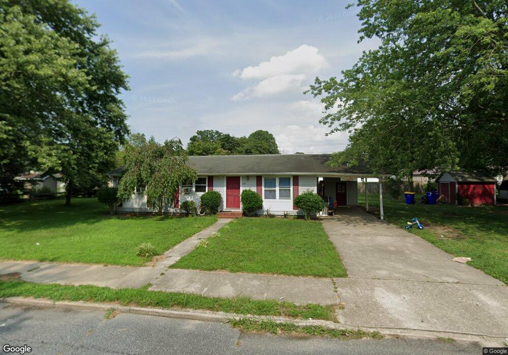
809 Huston St Seaford, DE 19973
Estimated Value: $222,231 - $251,000
3
Beds
--
Bath
1,056
Sq Ft
$230/Sq Ft
Est. Value
About This Home
This home is located at 809 Huston St, Seaford, DE 19973 and is currently estimated at $243,058, approximately $230 per square foot. 809 Huston St is a home with nearby schools including Seaford Central Elementary School, Frederick Douglass Elementary School, and Seaford Middle School.
Ownership History
Date
Name
Owned For
Owner Type
Purchase Details
Closed on
Mar 28, 2017
Sold by
Lee Robert
Bought by
C And C Real Estate Holdings Llc
Current Estimated Value
Home Financials for this Owner
Home Financials are based on the most recent Mortgage that was taken out on this home.
Original Mortgage
$1,907,151
Outstanding Balance
$1,584,423
Interest Rate
4.15%
Mortgage Type
Future Advance Clause Open End Mortgage
Estimated Equity
-$1,341,365
Create a Home Valuation Report for This Property
The Home Valuation Report is an in-depth analysis detailing your home's value as well as a comparison with similar homes in the area
Home Values in the Area
Average Home Value in this Area
Purchase History
| Date | Buyer | Sale Price | Title Company |
|---|---|---|---|
| C And C Real Estate Holdings Llc | $55,000 | None Available |
Source: Public Records
Mortgage History
| Date | Status | Borrower | Loan Amount |
|---|---|---|---|
| Open | C And C Real Estate Holdings Llc | $1,907,151 |
Source: Public Records
Tax History
| Year | Tax Paid | Tax Assessment Tax Assessment Total Assessment is a certain percentage of the fair market value that is determined by local assessors to be the total taxable value of land and additions on the property. | Land | Improvement |
|---|---|---|---|---|
| 2025 | $730 | $12,450 | $2,600 | $9,850 |
| 2024 | $623 | $12,450 | $2,600 | $9,850 |
| 2023 | $622 | $12,450 | $2,600 | $9,850 |
| 2022 | $607 | $12,450 | $2,600 | $9,850 |
| 2021 | $609 | $12,450 | $2,600 | $9,850 |
| 2020 | $660 | $12,450 | $2,600 | $9,850 |
| 2019 | $578 | $12,450 | $2,600 | $9,850 |
| 2018 | $564 | $12,450 | $0 | $0 |
| 2017 | $535 | $12,450 | $0 | $0 |
| 2016 | $516 | $12,450 | $0 | $0 |
| 2015 | $515 | $12,450 | $0 | $0 |
| 2014 | $488 | $12,450 | $0 | $0 |
Source: Public Records
Map
Nearby Homes
- 733 Huston St
- 133 Belle Ayre Dr
- 714 W Ivy Dr
- 301 Lilac Ln
- 749 Hurley Park Dr
- 200 Tulip Place
- 723 Hurley Park Dr
- 23849 Ross Station Rd
- 35 Read St
- 31 N Pine Street Extension
- 900 W Locust St
- 421 N Porter St
- 303 State St
- 517 Elm Dr
- 1102 Wythe Ln
- 321 N Willey St
- 131 4th St
- 308 Sussex Ave
- 306 4th St
- 110 E King St Unit SGT
Your Personal Tour Guide
Ask me questions while you tour the home.