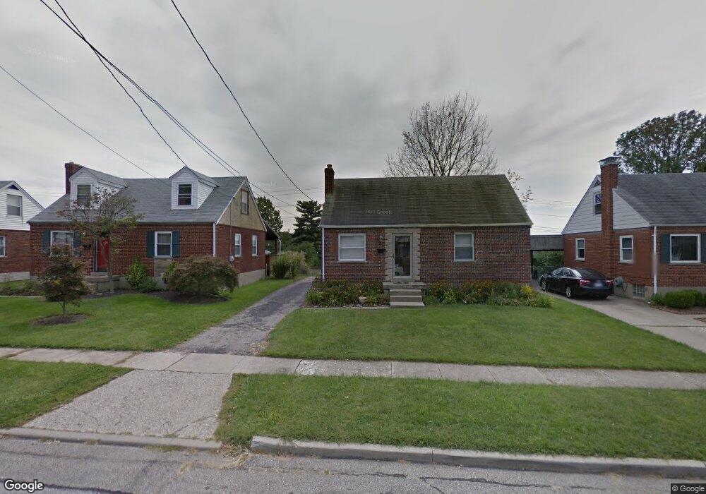
809 Maple Dr Cincinnati, OH 45215
Estimated Value: $180,000 - $284,000
About This Home
This home is located at 809 Maple Dr, Cincinnati, OH 45215 and is currently estimated at $246,571, approximately $241 per square foot. 809 Maple Dr is a home located in Hamilton County with nearby schools including Reading Community High School, Saints Peter and Paul Academy, and Mount Notre Dame High School.
Ownership History
We collect this data history from publicly available records. To have your information removed, we recommend requesting removal directly through your county’s website.
Purchase Details
Purchase Details
Home Financials for this Owner
Home Financials are based on the most recent Mortgage that was taken out on this home.Purchase Details
Home Financials for this Owner
Home Financials are based on the most recent Mortgage that was taken out on this home.Purchase Details
Purchase Details
Home Financials for this Owner
Home Financials are based on the most recent Mortgage that was taken out on this home.Home Values in the Area
Average Home Value in this Area
Purchase History
We collect this data history from publicly available records. To have your information removed, we recommend requesting removal directly through your county’s website.
| Date | Buyer | Sale Price | Title Company |
|---|---|---|---|
| -- | Northwest Ttl Fam Of Compani | ||
| $150,000 | Lawyers Title Of Cincinnati | ||
| $108,000 | None Available | ||
| $75,000 | None Available | ||
| $106,000 | -- |
Mortgage History
We collect this data history from publicly available records. To have your information removed, we recommend requesting removal directly through your county’s website.
| Date | Status | Borrower | Loan Amount |
|---|---|---|---|
| Open | $120,000 | ||
| Previous Owner | $108,000 | ||
| Previous Owner | $100,700 |
Tax History
We collect this data history from publicly available records. To have your information removed, we recommend requesting removal directly through your county’s website.
| Year | Tax Paid | Tax Assessment Tax Assessment Total Assessment is a certain percentage of the fair market value that is determined by local assessors to be the total taxable value of land and additions on the property. | Land | Improvement |
|---|---|---|---|---|
| 2025 | $3,113 | $58,674 | $12,103 | $46,571 |
| 2024 | $3,043 | $58,674 | $12,103 | $46,571 |
| 2023 | $3,087 | $58,674 | $12,103 | $46,571 |
| 2022 | $3,563 | $52,501 | $10,490 | $42,011 |
| 2021 | $2,976 | $52,501 | $10,490 | $42,011 |
| 2020 | $3,006 | $52,501 | $10,490 | $42,011 |
| 2019 | $2,137 | $32,970 | $9,282 | $23,688 |
| 2018 | $2,138 | $32,970 | $9,282 | $23,688 |
| 2017 | $2,043 | $32,970 | $9,282 | $23,688 |
| 2016 | $1,950 | $31,224 | $9,097 | $22,127 |
| 2015 | $1,940 | $31,224 | $9,097 | $22,127 |
| 2014 | $1,705 | $31,224 | $9,097 | $22,127 |
| 2013 | $1,728 | $31,861 | $9,282 | $22,579 |
Map
- 867 E Columbia Ave
- 1119 Alwil Dr
- 2127 Longmeadow Ln
- 629 Maple Dr
- 2066 Longmeadow Ln
- 620 Maple Dr
- 8575 Kentland Ct
- 0 Hill St Unit 1616370
- 3100 E Galbraith Rd
- 3345 Longmeadow Ln
- 1278 Sanborn Ct
- 654 3rd St
- 221 E Mechanic St
- 1525 Westview Ct
- 1612 Hunt Rd
- 109 Bunker Hill Ct
- 2443 Hunt Rd
- 2281 E Galbraith Rd
- 1344 Fuhrman Rd
- 2451 Hunt Rd
Ask me questions while you tour the home.