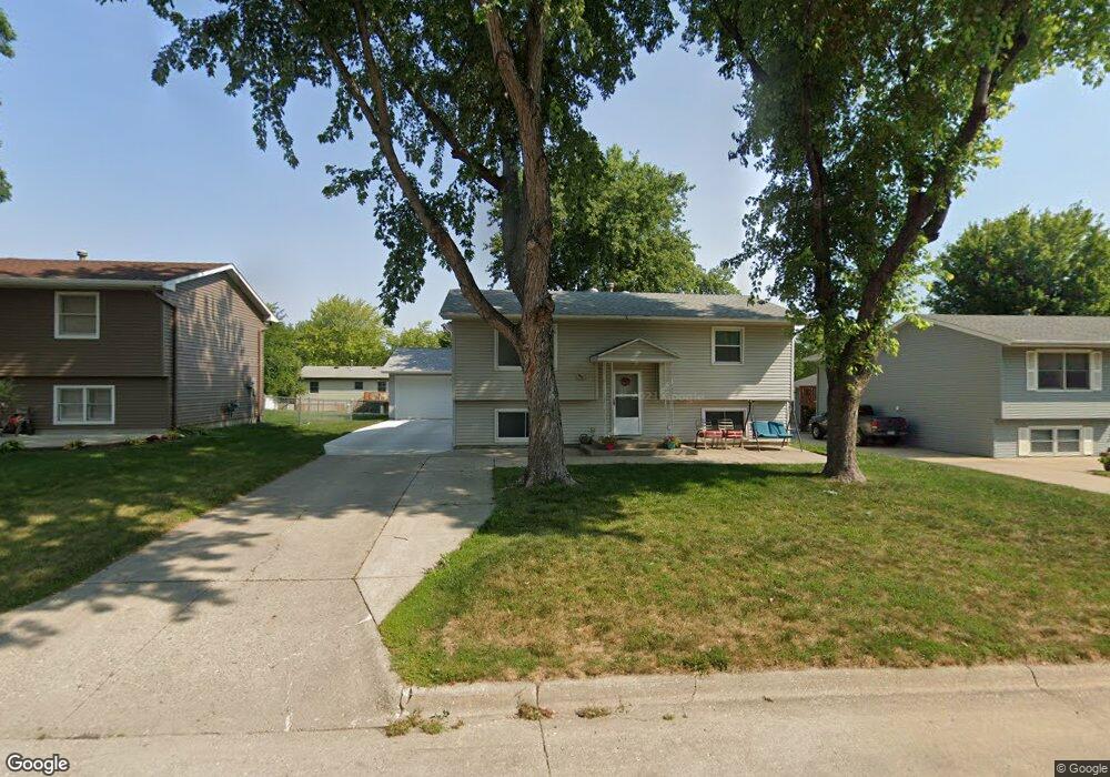
809 Mockingbird Dr Carroll, IA 51401
Estimated Value: $193,746 - $242,000
2
Beds
2
Baths
1,146
Sq Ft
$193/Sq Ft
Est. Value
About This Home
This home is located at 809 Mockingbird Dr, Carroll, IA 51401 and is currently estimated at $221,687, approximately $193 per square foot. 809 Mockingbird Dr is a home with nearby schools including Fairview Elementary School, Adams Elementary School, and Carroll Middle School.
Ownership History
Date
Name
Owned For
Owner Type
Purchase Details
Closed on
Jul 10, 2005
Sold by
Gehling Brian F and Gehling Jeanne M
Bought by
Heisterkamp Edwin W and Heisterkamp Shannon M
Current Estimated Value
Home Financials for this Owner
Home Financials are based on the most recent Mortgage that was taken out on this home.
Original Mortgage
$80,180
Outstanding Balance
$42,071
Interest Rate
5.74%
Mortgage Type
FHA
Estimated Equity
$179,616
Create a Home Valuation Report for This Property
The Home Valuation Report is an in-depth analysis detailing your home's value as well as a comparison with similar homes in the area
Home Values in the Area
Average Home Value in this Area
Purchase History
| Date | Buyer | Sale Price | Title Company |
|---|---|---|---|
| Heisterkamp Edwin W | $81,440 | None Available |
Source: Public Records
Mortgage History
| Date | Status | Borrower | Loan Amount |
|---|---|---|---|
| Open | Heisterkamp Edwin W | $80,180 |
Source: Public Records
Tax History
| Year | Tax Paid | Tax Assessment Tax Assessment Total Assessment is a certain percentage of the fair market value that is determined by local assessors to be the total taxable value of land and additions on the property. | Land | Improvement |
|---|---|---|---|---|
| 2025 | $2,444 | $223,860 | $20,290 | $203,570 |
| 2024 | $24 | $196,610 | $20,290 | $176,320 |
| 2023 | $2,339 | $196,610 | $20,290 | $176,320 |
| 2022 | $2,216 | $161,880 | $17,390 | $144,490 |
| 2021 | $2,216 | $161,880 | $17,390 | $144,490 |
| 2020 | $1,502 | $109,770 | $17,390 | $92,380 |
| 2019 | $1,484 | $109,770 | $17,390 | $92,380 |
| 2018 | $1,394 | $109,770 | $17,390 | $92,380 |
| 2017 | $1,388 | $106,080 | $15,504 | $90,576 |
| 2016 | $1,294 | $99,140 | $0 | $0 |
| 2015 | $1,294 | $91,230 | $0 | $0 |
| 2014 | $1,168 | $91,230 | $0 | $0 |
Source: Public Records
Map
Nearby Homes
- 746 Granada Rd
- 1550 Edgewood Dr
- 1546 Olive St
- 641 Alta Vista Dr
- 1206 Amy Ave
- 265 Perch St
- 1059 Amy Ave
- 505 Parkview Dr
- 1515 N Main St
- 1399 E 11th St
- 1401 E 11th St
- 1601 N Main St
- 1816 N Main St
- 1409 E 10th St
- 1407 E 10th St
- 1208 N Adams St
- 1108 N Main St
- 1102 N Main St
- 1505 E 10th St
- 0 Monterey Dr Unit 6307161
- 803 Mockingbird Dr
- 815 Mockingbird Dr
- 737 Mockingbird Dr
- 821 Mockingbird Dr
- 804 Mockingbird Dr
- 814 Corey Dr
- 810 Mockingbird Dr
- 802 Corey Dr
- 738 Mockingbird Dr
- 731 Mockingbird Dr
- 742 Corey Dr
- 822 Mockingbird Dr
- 816 Mockingbird Dr
- 808 Corey Dr
- 732 Mockingbird Dr
- 815 Corey Dr
- 736 Corey Dr
- 725 Mockingbird Dr
- 803 Corey Dr
- 820 Corey Dr
Your Personal Tour Guide
Ask me questions while you tour the home.