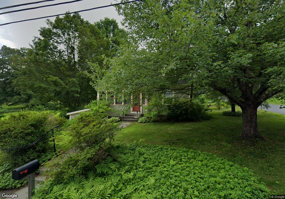
81 Ashfield St Shelburne Falls, MA 01370
Buckland NeighborhoodEstimated Value: $310,000 - $346,000
3
Beds
2
Baths
1,134
Sq Ft
$293/Sq Ft
Est. Value
About This Home
This home is located at 81 Ashfield St, Shelburne Falls, MA 01370 and is currently estimated at $332,418, approximately $293 per square foot. 81 Ashfield St is a home with nearby schools including Mohawk Trail Regional High School.
Ownership History
Date
Name
Owned For
Owner Type
Purchase Details
Closed on
Mar 27, 2015
Sold by
Leitner Jonathan W and Plesnar Melissa
Bought by
Leitner Jonathan W and Milewski Kiera M
Current Estimated Value
Home Financials for this Owner
Home Financials are based on the most recent Mortgage that was taken out on this home.
Original Mortgage
$87,500
Outstanding Balance
$67,212
Interest Rate
3.68%
Mortgage Type
New Conventional
Estimated Equity
$265,206
Purchase Details
Closed on
Apr 4, 2000
Sold by
Est Redmond Lawrence and Scavotto Mary L
Bought by
Leitner Melissa M and Leitner Jonathan W
Purchase Details
Closed on
Aug 25, 1999
Sold by
Field Frank M and Field Sandra J
Bought by
Redmond Lawrence W
Home Financials for this Owner
Home Financials are based on the most recent Mortgage that was taken out on this home.
Original Mortgage
$86,000
Interest Rate
7.53%
Mortgage Type
Purchase Money Mortgage
Create a Home Valuation Report for This Property
The Home Valuation Report is an in-depth analysis detailing your home's value as well as a comparison with similar homes in the area
Home Values in the Area
Average Home Value in this Area
Purchase History
| Date | Buyer | Sale Price | Title Company |
|---|---|---|---|
| Leitner Jonathan W | -- | -- | |
| Leitner Melissa M | $89,250 | -- | |
| Redmond Lawrence W | $96,000 | -- |
Source: Public Records
Mortgage History
| Date | Status | Borrower | Loan Amount |
|---|---|---|---|
| Open | Leitner Jonathan W | $87,500 | |
| Previous Owner | Redmond Lawrence W | $86,000 |
Source: Public Records
Tax History Compared to Growth
Tax History
| Year | Tax Paid | Tax Assessment Tax Assessment Total Assessment is a certain percentage of the fair market value that is determined by local assessors to be the total taxable value of land and additions on the property. | Land | Improvement |
|---|---|---|---|---|
| 2025 | $4,487 | $264,900 | $46,400 | $218,500 |
| 2024 | $4,408 | $251,000 | $46,400 | $204,600 |
| 2023 | $3,881 | $229,100 | $46,400 | $182,700 |
| 2022 | $3,844 | $229,100 | $46,400 | $182,700 |
| 2021 | $3,514 | $197,000 | $46,400 | $150,600 |
| 2020 | $3,378 | $182,400 | $46,400 | $136,000 |
| 2019 | $3,178 | $170,600 | $46,400 | $124,200 |
| 2018 | $2,782 | $147,600 | $46,400 | $101,200 |
| 2017 | $2,664 | $147,600 | $46,400 | $101,200 |
| 2016 | $2,613 | $154,600 | $46,400 | $108,200 |
| 2015 | $2,597 | $154,600 | $46,400 | $108,200 |
Source: Public Records
Map
Nearby Homes
- 10 Deerfield Ave Unit 5
- 10 Deerfield Ave Unit 2
- 33 Williams St
- 105 - 107 Bridge St
- 102 Elm St
- 2151 Route 2
- 2155 Massachusetts 2
- 7 Hog Hollow Rd
- 156 Ashfield Rd
- 0 Upper St
- 31 W Oxbow Rd
- 24 W Oxbow Rd
- 0 W Oxbow Rd Unit 73453651
- 0 Ashfield Rd
- 3+5 Church St
- 143 Charlemont Rd
- 85 Dacey Rd
- lot 1 Shelburne Falls Rd
- 240 Beldingville Rd
- 0 Fiske Mill Rd
- 0 Bray Rd Unit 72324562
- 0 Bray Rd Unit 70840155
- 0 Bray Rd Unit 71173788
- 0 Bray Rd Unit 70326440
- 0 Bray Rd Unit 72643296
- 0 Bray Rd Unit 72437163
- 4 Bray Rd
- Lot 6 Bray Rd
- Lot 10 Bray Rd
- 80 Ashfield St
- 84 Ashfield St
- 10 Kratt Ave
- 1 Kratt Ave
- 10 Bray Rd
- 79 Ashfield St
- 11 Walker Rd
- 12 Bray Rd
- 7 Spring St
- 3 Bray Rd
- 74 Ashfield St