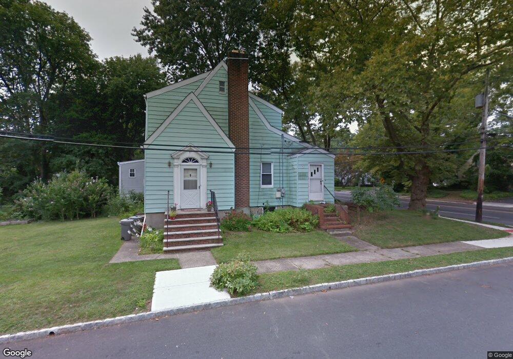
81 Cain St Springfield, NJ 07081
Estimated Value: $537,000 - $636,000
Studio
--
Bath
1,474
Sq Ft
$404/Sq Ft
Est. Value
About This Home
This home is located at 81 Cain St, Springfield, NJ 07081 and is currently estimated at $594,993, approximately $403 per square foot. 81 Cain St is a home located in Union County with nearby schools including Jonathan Dayton High School and St James The Apostle School.
Ownership History
Date
Name
Owned For
Owner Type
Purchase Details
Closed on
May 12, 2010
Sold by
Beinart Naomi B and Stein Howard
Bought by
Eccles Ian C and Eccles Jennifer M
Current Estimated Value
Home Financials for this Owner
Home Financials are based on the most recent Mortgage that was taken out on this home.
Original Mortgage
$259,462
Outstanding Balance
$177,694
Interest Rate
5.5%
Mortgage Type
FHA
Estimated Equity
$417,299
Purchase Details
Closed on
May 22, 2002
Sold by
Stein Judith B and Stein Howard
Bought by
Beinart Naomi
Purchase Details
Closed on
Apr 1, 2002
Sold by
Stein Judith B and Stein Howard
Bought by
Stein Judith B and Stein Howard
Purchase Details
Closed on
Apr 20, 2001
Sold by
Stein Judith B and Stein Howard
Bought by
Stein Judith B and Stein Howard
Create a Home Valuation Report for This Property
The Home Valuation Report is an in-depth analysis detailing your home's value as well as a comparison with similar homes in the area
Home Values in the Area
Average Home Value in this Area
Purchase History
| Date | Buyer | Sale Price | Title Company |
|---|---|---|---|
| Eccles Ian C | $290,000 | New Jersey Title Ins Co | |
| Beinart Naomi | -- | -- | |
| Beinart Naomi | -- | -- | |
| Stein Judith B | -- | -- | |
| Stein Judith B | -- | -- |
Source: Public Records
Mortgage History
| Date | Status | Borrower | Loan Amount |
|---|---|---|---|
| Open | Eccles Ian C | $259,462 |
Source: Public Records
Tax History
| Year | Tax Paid | Tax Assessment Tax Assessment Total Assessment is a certain percentage of the fair market value that is determined by local assessors to be the total taxable value of land and additions on the property. | Land | Improvement |
|---|---|---|---|---|
| 2025 | $11,500 | $484,200 | $187,400 | $296,800 |
| 2024 | $10,108 | $484,200 | $187,400 | $296,800 |
| 2023 | $10,108 | $432,700 | $187,400 | $245,300 |
| 2022 | $9,385 | $432,700 | $187,400 | $245,300 |
| 2021 | $9,046 | $121,500 | $48,000 | $73,500 |
| 2020 | $8,905 | $121,500 | $48,000 | $73,500 |
| 2019 | $8,784 | $121,500 | $48,000 | $73,500 |
| 2018 | $8,627 | $121,500 | $48,000 | $73,500 |
| 2017 | $8,390 | $121,500 | $48,000 | $73,500 |
| 2016 | $8,227 | $121,500 | $48,000 | $73,500 |
| 2015 | $8,131 | $121,500 | $48,000 | $73,500 |
| 2014 | $7,978 | $121,500 | $48,000 | $73,500 |
Source: Public Records
Map
Nearby Homes
- 238 Riverside Dr
- 67 Battle Hill Ave
- 105 Battle Hill Ave
- 20 Maple Ave
- 17 Alvin Terrace
- 148 Locust Dr
- 798 Pinewood Rd
- 750 Andover Rd
- 24 Brook St
- 2785 Larchmont Rd
- 1042 Battle Hill Terrace
- 960 Moessner Ave
- 2705 Andrea Rd
- 298 Main St
- 787 Liberty Ave
- 270 Main St Unit D
- 2670 Bancroft Ave
- 294 Mountain Ave
- 1065 Liberty Ave
- 8 Willow St
Your Personal Tour Guide
Ask me questions while you tour the home.