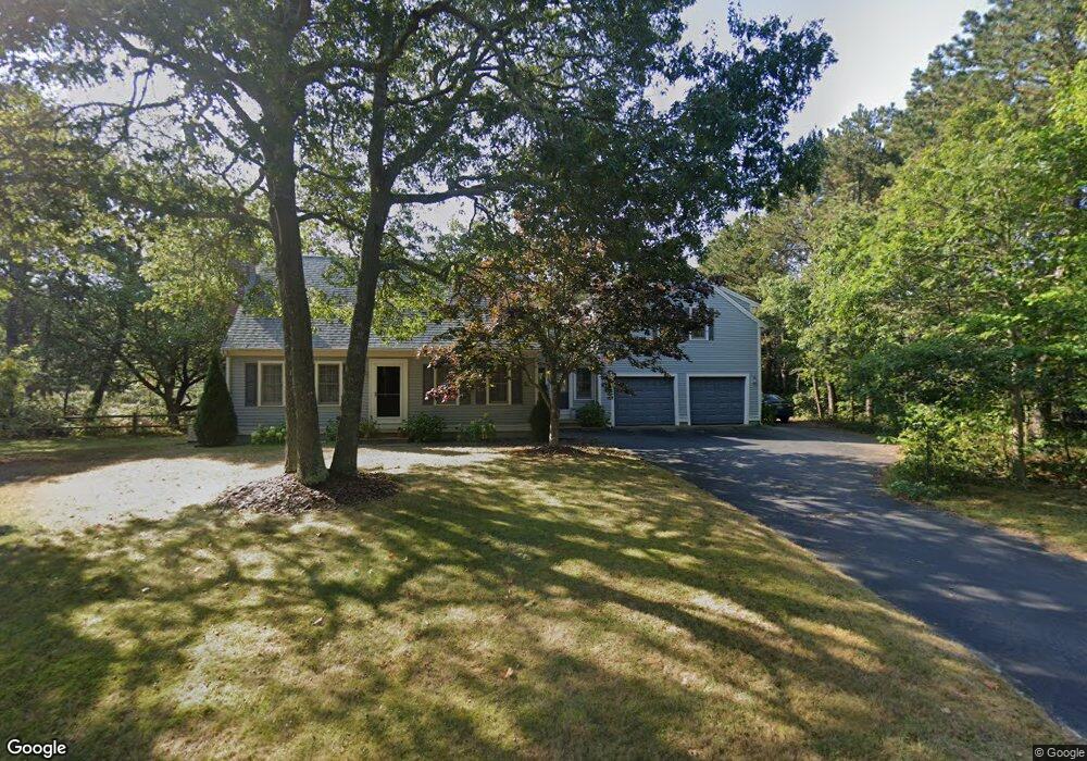
81 Dover Rd Mashpee, MA 02649
Estimated Value: $783,642 - $900,000
4
Beds
3
Baths
2,148
Sq Ft
$384/Sq Ft
Est. Value
About This Home
This home is located at 81 Dover Rd, Mashpee, MA 02649 and is currently estimated at $824,661, approximately $383 per square foot. 81 Dover Rd is a home located in Barnstable County with nearby schools including Kenneth C. Coombs School, Quashnet School, and Mashpee Middle School.
Ownership History
Date
Name
Owned For
Owner Type
Purchase Details
Closed on
May 13, 1994
Sold by
M and Marsters Kenneth E
Bought by
Bergerton Mark W and Bergeron Sherry H
Current Estimated Value
Create a Home Valuation Report for This Property
The Home Valuation Report is an in-depth analysis detailing your home's value as well as a comparison with similar homes in the area
Purchase History
We collect this data history from publicly available records. To have your information removed, we recommend requesting removal directly through your county’s website.
| Date | Buyer | Sale Price | Title Company |
|---|---|---|---|
| Bergerton Mark W | $116,900 | -- | |
| Bergeron Mark W | $116,900 | -- |
Source: Public Records
Mortgage History
We collect this data history from publicly available records. To have your information removed, we recommend requesting removal directly through your county’s website.
| Date | Status | Borrower | Loan Amount |
|---|---|---|---|
| Open | Bergerton Mark W | $115,000 | |
| Closed | Bergerton Mark W | $28,500 | |
| Closed | Bergerton Mark W | $20,000 |
Source: Public Records
Tax History
| Year | Tax Paid | Tax Assessment Tax Assessment Total Assessment is a certain percentage of the fair market value that is determined by local assessors to be the total taxable value of land and additions on the property. | Land | Improvement |
|---|---|---|---|---|
| 2025 | $4,532 | $684,600 | $219,800 | $464,800 |
| 2024 | $4,172 | $648,900 | $199,900 | $449,000 |
| 2023 | $3,935 | $561,400 | $228,400 | $333,000 |
| 2022 | $3,747 | $458,600 | $185,700 | $272,900 |
| 2021 | $3,624 | $399,600 | $160,300 | $239,300 |
| 2020 | $53 | $384,600 | $154,200 | $230,400 |
| 2019 | $3,332 | $368,200 | $154,200 | $214,000 |
| 2018 | $46 | $357,700 | $154,200 | $203,500 |
| 2017 | $45 | $339,100 | $154,200 | $184,900 |
| 2016 | $2,850 | $308,400 | $134,100 | $174,300 |
| 2015 | $2,744 | $301,200 | $134,100 | $167,100 |
| 2014 | $2,809 | $299,200 | $132,400 | $166,800 |
Source: Public Records
Map
Nearby Homes
- 10 Shadbush Cir
- 1 Anthonys Way
- 1 Anthony's Way
- 34 Polaris Dr
- T 131 Shellback Way Unit 131
- S 121 Shellback Way Unit 121
- 40 Shellback Way Unit F
- 121 Shellback Way Unit 121
- 7 Sandy Way
- 9 Red Cedar Rd Unit 9
- 9 Red Cedar Rd Unit 9
- 29 Carl Landi Cir
- 89 Degrass Rd
- 8 Ruth Terrace
- 29 Musket Ln
- 16 Gold Leaf Ln
- 120 Degrass Rd
- 35 Punkhorn Point Rd
- 20 Mutiny Way
- 304 Red Brook Rd
Your Personal Tour Guide
Ask me questions while you tour the home.