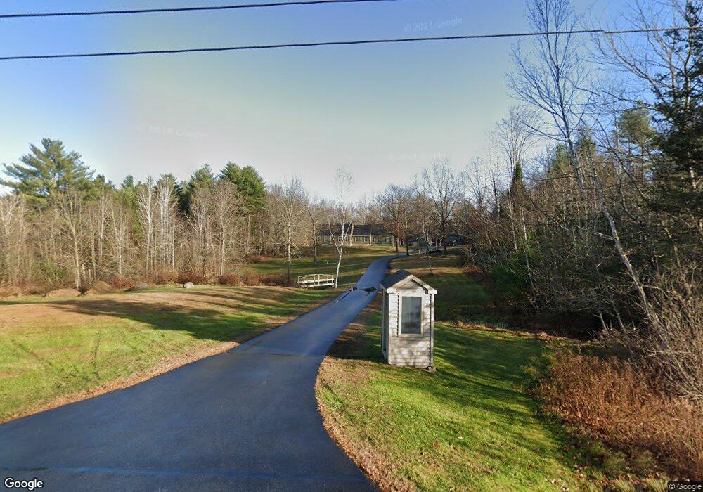
81 Dunlap Rd Gorham, ME 04038
Estimated Value: $569,632 - $623,000
3
Beds
2
Baths
1,947
Sq Ft
$310/Sq Ft
Est. Value
About This Home
This home is located at 81 Dunlap Rd, Gorham, ME 04038 and is currently estimated at $603,877, approximately $310 per square foot. 81 Dunlap Rd is a home with nearby schools including Great Falls Elementary School, Gorham Middle School, and Gorham High School.
Create a Home Valuation Report for This Property
The Home Valuation Report is an in-depth analysis detailing your home's value as well as a comparison with similar homes in the area
Home Values in the Area
Average Home Value in this Area
Tax History
| Year | Tax Paid | Tax Assessment Tax Assessment Total Assessment is a certain percentage of the fair market value that is determined by local assessors to be the total taxable value of land and additions on the property. | Land | Improvement |
|---|---|---|---|---|
| 2025 | $6,454 | $436,100 | $108,000 | $328,100 |
| 2024 | $6,411 | $436,100 | $108,000 | $328,100 |
| 2023 | $5,996 | $436,100 | $108,000 | $328,100 |
| 2022 | $5,604 | $436,100 | $108,000 | $328,100 |
| 2021 | $4,831 | $249,000 | $86,100 | $162,900 |
| 2020 | $4,731 | $249,000 | $86,100 | $162,900 |
| 2019 | $4,719 | $249,000 | $86,100 | $162,900 |
| 2018 | $4,532 | $249,000 | $86,100 | $162,900 |
| 2017 | $4,258 | $249,000 | $86,100 | $162,900 |
| 2016 | $4,235 | $249,100 | $86,200 | $162,900 |
| 2015 | $4,060 | $249,100 | $86,200 | $162,900 |
| 2014 | $4,014 | $230,700 | $78,800 | $151,900 |
| 2013 | $3,991 | $230,700 | $78,800 | $151,900 |
Source: Public Records
Map
Nearby Homes
- 555 Fort Hill Rd
- 46 Sebago Lake Rd
- 12 Dolley Farm Rd Unit 6
- 46 N Gorham Rd
- 442 River Rd
- 84 Falcon Crest Dr Unit 13
- 697 Fort Hill Rd
- 696 Fort Hill Rd
- 594 River Rd
- 42 Main St
- 9 Dingley Spring Rd
- 51 Newell St
- 761 Fort Hill Rd
- 236 Main St
- 81 N Gorham Rd
- 8 Beaulieu Dr
- 771 Gray Rd
- 16 Norway Rd
- 0 Meredith Dr
- 117 N Gorham Rd
Your Personal Tour Guide
Ask me questions while you tour the home.