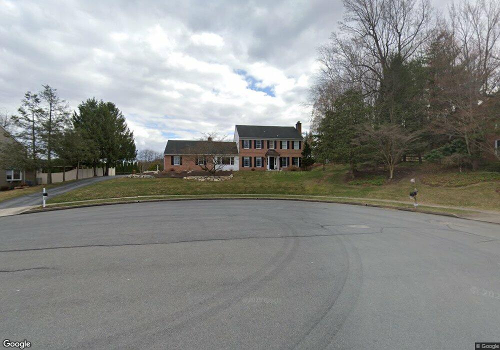
81 Flint Ridge Dr Reading, PA 19607
Estimated Value: $434,000 - $595,000
4
Beds
3
Baths
2,624
Sq Ft
$191/Sq Ft
Est. Value
About This Home
This home is located at 81 Flint Ridge Dr, Reading, PA 19607 and is currently estimated at $501,561, approximately $191 per square foot. 81 Flint Ridge Dr is a home located in Berks County with nearby schools including Cumru Elementary School, Governor Mifflin Intermediate School, and Governor Mifflin Middle School.
Ownership History
Date
Name
Owned For
Owner Type
Purchase Details
Closed on
Apr 13, 2011
Sold by
Susquehanna Bank
Bought by
Mcallister Ryan W and Mcallister Kristina E
Current Estimated Value
Home Financials for this Owner
Home Financials are based on the most recent Mortgage that was taken out on this home.
Original Mortgage
$243,564
Outstanding Balance
$167,644
Interest Rate
4.75%
Mortgage Type
FHA
Estimated Equity
$333,917
Purchase Details
Closed on
Nov 18, 2010
Sold by
Maurer Joseph A and Maurer Georgene D
Bought by
Susquehanna Bank
Purchase Details
Closed on
Nov 26, 2001
Sold by
Reitz John V and Reitz Carol S
Bought by
Maurer Joseph A and Maurer Georgene D
Home Financials for this Owner
Home Financials are based on the most recent Mortgage that was taken out on this home.
Original Mortgage
$313,200
Interest Rate
6.67%
Create a Home Valuation Report for This Property
The Home Valuation Report is an in-depth analysis detailing your home's value as well as a comparison with similar homes in the area
Home Values in the Area
Average Home Value in this Area
Purchase History
| Date | Buyer | Sale Price | Title Company |
|---|---|---|---|
| Mcallister Ryan W | $249,900 | None Available | |
| Susquehanna Bank | $2,600 | None Available | |
| Maurer Joseph A | $348,000 | -- |
Source: Public Records
Mortgage History
| Date | Status | Borrower | Loan Amount |
|---|---|---|---|
| Open | Mcallister Ryan W | $243,564 | |
| Previous Owner | Maurer Joseph A | $313,200 |
Source: Public Records
Tax History Compared to Growth
Tax History
| Year | Tax Paid | Tax Assessment Tax Assessment Total Assessment is a certain percentage of the fair market value that is determined by local assessors to be the total taxable value of land and additions on the property. | Land | Improvement |
|---|---|---|---|---|
| 2025 | $3,082 | $172,700 | $41,200 | $131,500 |
| 2024 | $7,946 | $172,700 | $41,200 | $131,500 |
| 2023 | $7,723 | $172,700 | $41,200 | $131,500 |
| 2022 | $7,530 | $172,700 | $41,200 | $131,500 |
| 2021 | $7,381 | $172,700 | $41,200 | $131,500 |
| 2020 | $7,381 | $172,700 | $41,200 | $131,500 |
| 2019 | $7,291 | $172,700 | $41,200 | $131,500 |
| 2018 | $7,160 | $172,700 | $41,200 | $131,500 |
| 2017 | $7,021 | $172,700 | $41,200 | $131,500 |
| 2016 | $2,446 | $172,700 | $41,200 | $131,500 |
| 2015 | $2,446 | $172,700 | $41,200 | $131,500 |
| 2014 | $2,446 | $190,600 | $44,900 | $145,700 |
Source: Public Records
Map
Nearby Homes
- 1189 Cedar Top Rd
- 1694 Cedar Top Rd
- 127 Cedar Ln
- 6 Rim View Ln
- 310 4th St
- 320 Hillside Dr
- 1970 Cedar Top Rd
- 512 Mifflin Blvd
- 836 Scenic Dr
- 0 Cedar Top Rd
- 419 Holland St
- 322 New Holland Ave
- 511 Grill Ave
- 24 Philadelphia Ave
- 15 Lake St
- 131 E Wyomissing Ave
- 120 E Wyomissing Ave
- 140 S Church St
- 120 S Miller St
- 18 Front St
- 83 Flint Ridge Dr
- 79 Flint Ridge Dr
- 82 Flint Ridge Dr
- 77 Flint Ridge Dr
- 1503 Cedar Top Rd
- 80 Flint Ridge Dr
- 1489 Cedar Top Rd
- 78 Flint Ridge Dr
- 1519 Cedar Top Rd
- 76 Flint Ridge Dr
- 75 Flint Ridge Dr
- 1461 Cedar Top Rd
- 18 Shady Hollow Ln
- 73 Flint Ridge Dr
- 1541 Cedar Top Rd
- 1496 Cedar Top Rd
- 1520 Cedar Top Rd
- 71 Flint Ridge Dr
- 16 Shady Hollow Ln
- 1443 Cedar Top Rd